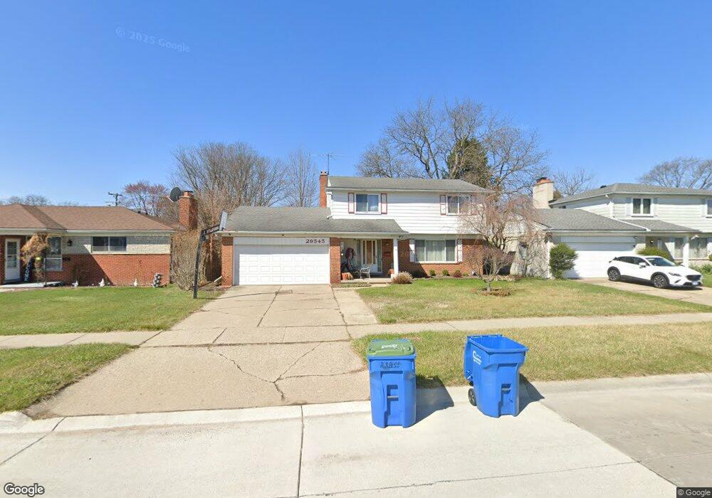
29545 Westbrook Ave Warren, MI 48092
Northwest Warren NeighborhoodEstimated Value: $301,000 - $333,000
4
Beds
3
Baths
1,822
Sq Ft
$171/Sq Ft
Est. Value
About This Home
This home is located at 29545 Westbrook Ave, Warren, MI 48092 and is currently estimated at $312,085, approximately $171 per square foot. 29545 Westbrook Ave is a home located in Macomb County with nearby schools including Lean Elementary School, Beer Middle School, and Warren Mott High School.
Ownership History
Date
Name
Owned For
Owner Type
Purchase Details
Closed on
Dec 26, 2018
Sold by
Filio Irene G
Bought by
Filio Irene G and Filio Crisanto G
Current Estimated Value
Home Financials for this Owner
Home Financials are based on the most recent Mortgage that was taken out on this home.
Original Mortgage
$165,852
Outstanding Balance
$146,119
Interest Rate
4.8%
Mortgage Type
FHA
Estimated Equity
$165,966
Purchase Details
Closed on
Aug 21, 1999
Sold by
Lotarski Mark A
Bought by
Charat Sylvian
Purchase Details
Closed on
Nov 25, 1998
Sold by
Verduyn Ellen M
Bought by
Lotarski Joan L
Create a Home Valuation Report for This Property
The Home Valuation Report is an in-depth analysis detailing your home's value as well as a comparison with similar homes in the area
Home Values in the Area
Average Home Value in this Area
Purchase History
| Date | Buyer | Sale Price | Title Company |
|---|---|---|---|
| Filio Irene G | -- | Esl Title And Setflement Ser | |
| Charat Sylvian | $153,000 | -- | |
| Lotarski Joan L | $153,000 | -- |
Source: Public Records
Mortgage History
| Date | Status | Borrower | Loan Amount |
|---|---|---|---|
| Open | Filio Irene G | $165,852 |
Source: Public Records
Tax History Compared to Growth
Tax History
| Year | Tax Paid | Tax Assessment Tax Assessment Total Assessment is a certain percentage of the fair market value that is determined by local assessors to be the total taxable value of land and additions on the property. | Land | Improvement |
|---|---|---|---|---|
| 2025 | $3,603 | $148,710 | $0 | $0 |
| 2024 | $3,501 | $143,130 | $0 | $0 |
| 2023 | $3,319 | $127,000 | $0 | $0 |
| 2022 | $3,207 | $111,720 | $0 | $0 |
| 2021 | $3,263 | $105,530 | $0 | $0 |
| 2020 | $3,146 | $101,990 | $0 | $0 |
| 2019 | $3,033 | $90,270 | $0 | $0 |
| 2018 | $0 | $86,040 | $0 | $0 |
| 2017 | $3,042 | $82,170 | $10,380 | $71,790 |
| 2016 | $3,039 | $82,170 | $0 | $0 |
| 2015 | -- | $71,020 | $0 | $0 |
| 2013 | $2,851 | $52,260 | $0 | $0 |
Source: Public Records
Map
Nearby Homes
- 2338 Walter Ave
- 1936 Roman Ct
- 1958 Roman Ct
- 2403 Walter Ave
- 29202 W Nottingham Cir
- 1687 Fontaine Ave
- 1563 Beaupre Ave
- 2209 Cromie Dr
- 30232 Austin Dr
- 1721 Westbrook Dr
- 30140 Manor Dr
- 1580 Nottingham Dr
- 1405 Dulong Ave
- 28767 Alden St
- 28720 Alden St
- 28314 James Dr
- 1336 Dulong Ave
- 28160 Universal Dr Unit J125
- 29269 Ryan Rd
- 30600 Manor Dr
- 29557 Westbrook Ave
- 29533 Westbrook Ave
- 29531 Westbrook Ave
- 29581 Westbrook Ave
- 2263 Nancy Dr
- 29509 Westbrook Ave
- 2270 Marlow Dr
- 2251 Nancy Dr
- 2224 Marlow Dr
- 2314 Marlow Dr
- 2239 Nancy Dr
- 2227 Nancy Dr
- 2326 Marlow Dr
- 29607 Westbrook Ave
- 2174 Marlow Dr
- 2286 Nancy Dr
- 2272 Nancy Dr
- 2215 Nancy Dr
- 2258 Nancy Dr
- 2338 Marlow Dr