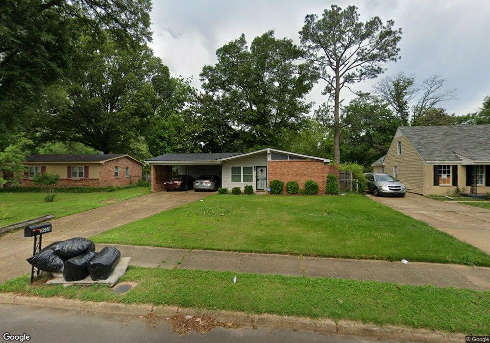
2955 Clearbrook St Memphis, TN 38118
Parkway Village NeighborhoodEstimated Value: $140,731 - $165,000
3
Beds
2
Baths
1,316
Sq Ft
$112/Sq Ft
Est. Value
About This Home
This home is located at 2955 Clearbrook St, Memphis, TN 38118 and is currently estimated at $147,433, approximately $112 per square foot. 2955 Clearbrook St is a home located in Shelby County with nearby schools including Evans Elementary School, Wooddale High School, and Cornerstone Prep School.
Ownership History
Date
Name
Owned For
Owner Type
Purchase Details
Closed on
Feb 23, 2010
Sold by
Smith Randall B and Smith Duane M
Bought by
Poe Mark E
Current Estimated Value
Home Financials for this Owner
Home Financials are based on the most recent Mortgage that was taken out on this home.
Original Mortgage
$60,385
Outstanding Balance
$40,893
Interest Rate
5.5%
Mortgage Type
FHA
Estimated Equity
$106,540
Purchase Details
Closed on
Jan 21, 1999
Sold by
Smith Mozelle
Bought by
Smith Mozelle
Create a Home Valuation Report for This Property
The Home Valuation Report is an in-depth analysis detailing your home's value as well as a comparison with similar homes in the area
Home Values in the Area
Average Home Value in this Area
Purchase History
| Date | Buyer | Sale Price | Title Company |
|---|---|---|---|
| Poe Mark E | $61,500 | None Available | |
| Poe Mark E | $61,500 | None Available | |
| Smith Mozelle | -- | -- |
Source: Public Records
Mortgage History
| Date | Status | Borrower | Loan Amount |
|---|---|---|---|
| Open | Poe Mark E | $60,385 |
Source: Public Records
Tax History Compared to Growth
Tax History
| Year | Tax Paid | Tax Assessment Tax Assessment Total Assessment is a certain percentage of the fair market value that is determined by local assessors to be the total taxable value of land and additions on the property. | Land | Improvement |
|---|---|---|---|---|
| 2025 | $702 | $32,350 | $4,000 | $28,350 |
| 2024 | $702 | $20,700 | $3,000 | $17,700 |
| 2023 | $1,261 | $20,700 | $3,000 | $17,700 |
| 2022 | $1,261 | $20,700 | $3,000 | $17,700 |
| 2021 | $1,276 | $20,700 | $3,000 | $17,700 |
| 2020 | $1,143 | $15,775 | $3,000 | $12,775 |
| 2019 | $1,143 | $15,775 | $3,000 | $12,775 |
| 2018 | $1,143 | $15,775 | $3,000 | $12,775 |
| 2017 | $648 | $15,775 | $3,000 | $12,775 |
| 2016 | $686 | $15,700 | $0 | $0 |
| 2014 | $686 | $15,700 | $0 | $0 |
Source: Public Records
Map
Nearby Homes
- 4876 Cottonwood Rd
- 4843 Bridgedale Ave
- 2883 Cottonwood Cove
- 4809 Bridgedale Ave
- 2845 Clearbrook St
- 2937 Brandale St
- 3075 Dewitt Cove
- 4789 Judy Lynn Ave
- 4773 Aloha Ave
- 5067 Ginger Cir
- 5104 Christopher Ave
- 4864 Cloister Ave
- 2969 Arrendale St
- 3079 Castleman St
- 3118 Arrendale St
- 3083 Arrendale St
- 3240 Boxdale St
- 4580 Cottonwood Rd
- 3274 Gaylord Ln
- 3287 Boxdale St
- 2949 Clearbrook St
- 2961 Clearbrook St
- 2958 Basswood St
- 2964 Basswood St
- 2941 Clearbrook St
- 4900 Bondale Ave
- 2970 Basswood St
- 2952 Basswood St
- 2954 Clearbrook St
- 2964 Clearbrook St
- 2976 Basswood St
- 2935 Clearbrook St
- 2948 Clearbrook St
- 2940 Clearbrook St
- 4888 Bondale Ave
- 4872 Berrydale Ave
- 2934 Clearbrook St
- 4899 Bondale Ave
- 2980 Clearbrook St
- 2929 Clearbrook St