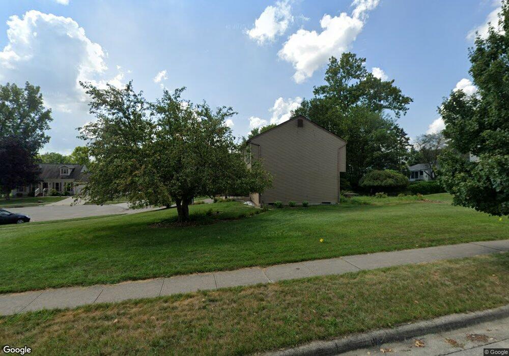
2955 Daisy Ln Columbus, OH 43204
Brookshire NeighborhoodEstimated Value: $282,971 - $315,000
3
Beds
3
Baths
1,792
Sq Ft
$167/Sq Ft
Est. Value
About This Home
This home is located at 2955 Daisy Ln, Columbus, OH 43204 and is currently estimated at $298,743, approximately $166 per square foot. 2955 Daisy Ln is a home located in Franklin County with nearby schools including James A Harmon Elementary School, Franklin Woods Intermediate School, and Finland Middle School.
Ownership History
Date
Name
Owned For
Owner Type
Purchase Details
Closed on
Aug 8, 2002
Sold by
Mitchell James H and Mitchell Katherine L
Bought by
Puccetti Paul R
Current Estimated Value
Home Financials for this Owner
Home Financials are based on the most recent Mortgage that was taken out on this home.
Original Mortgage
$134,436
Outstanding Balance
$57,212
Interest Rate
6.63%
Mortgage Type
FHA
Estimated Equity
$241,531
Purchase Details
Closed on
Jul 8, 1991
Bought by
Mitchell James H
Purchase Details
Closed on
Apr 25, 1990
Create a Home Valuation Report for This Property
The Home Valuation Report is an in-depth analysis detailing your home's value as well as a comparison with similar homes in the area
Home Values in the Area
Average Home Value in this Area
Purchase History
| Date | Buyer | Sale Price | Title Company |
|---|---|---|---|
| Puccetti Paul R | $135,500 | Independent Title | |
| Mitchell James H | $90,000 | -- | |
| -- | $15,000 | -- |
Source: Public Records
Mortgage History
| Date | Status | Borrower | Loan Amount |
|---|---|---|---|
| Open | Puccetti Paul R | $134,436 |
Source: Public Records
Tax History Compared to Growth
Tax History
| Year | Tax Paid | Tax Assessment Tax Assessment Total Assessment is a certain percentage of the fair market value that is determined by local assessors to be the total taxable value of land and additions on the property. | Land | Improvement |
|---|---|---|---|---|
| 2024 | $3,296 | $90,410 | $17,540 | $72,870 |
| 2023 | $3,238 | $90,405 | $17,535 | $72,870 |
| 2022 | $2,708 | $55,480 | $8,050 | $47,430 |
| 2021 | $2,762 | $55,480 | $8,050 | $47,430 |
| 2020 | $2,746 | $55,480 | $8,050 | $47,430 |
| 2019 | $2,657 | $47,360 | $7,000 | $40,360 |
| 2018 | $2,744 | $47,360 | $7,000 | $40,360 |
| 2017 | $2,738 | $47,360 | $7,000 | $40,360 |
| 2016 | $2,844 | $47,010 | $7,740 | $39,270 |
| 2015 | $2,844 | $47,010 | $7,740 | $39,270 |
| 2014 | $2,847 | $47,010 | $7,740 | $39,270 |
| 2013 | $1,570 | $52,255 | $8,610 | $43,645 |
Source: Public Records
Map
Nearby Homes
- 2937 Rundell Dr
- 2987 Daisy Ln
- 2856 Chesfield Dr
- 2929 Briggs Rd
- 1520 Fall Brook Rd
- 1037 Chestershire Rd
- 1465 Tall Meadows Dr
- 1181 Onslow Dr
- 2743 Saint Joseph Ave
- 3029 Rosedale Ave
- 1226 Pinnacle Dr
- 903 S Harris Ave
- 898 Chestershire Rd
- 2547 Rosedale Ave
- 2610 Spaatz Ave
- 890 S Roys Ave
- 898 Binns Blvd
- 894 Binns Blvd
- 2783-2785 Vanderberg Ave
- 2743 Bernadette Rd
- 2947 Daisy Ln
- 1372 Sunflower Dr
- 2958 Daisy Ln
- 1380 Sunflower Dr
- 2952 Daisy Ln
- 2941 Daisy Ln
- 2964 Daisy Ln
- 2928 Daisy Ln
- 2934 Daisy Ln
- 2946 Daisy Ln
- 2972 Daisy Ln
- 1388 Sunflower Dr
- 2922 Daisy Ln
- 2940 Daisy Ln
- 2980 Daisy Ln
- 1369 Sunflower Dr
- 2945 Rundell Dr
- 1398 Sunflower Dr
- 1377 Sunflower Dr
- 2957 Rundell Dr