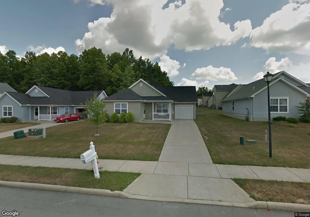
2955 Megan Cir Youngstown, OH 44505
McGuffey Heights NeighborhoodEstimated Value: $63,000 - $106,000
4
Beds
2
Baths
1,366
Sq Ft
$65/Sq Ft
Est. Value
About This Home
This home is located at 2955 Megan Cir, Youngstown, OH 44505 and is currently estimated at $88,630, approximately $64 per square foot. 2955 Megan Cir is a home located in Mahoning County with nearby schools including M.L. King Elementary School, East High School, and Youngstown Academy of Excellence.
Ownership History
Date
Name
Owned For
Owner Type
Purchase Details
Closed on
Feb 8, 2024
Sold by
M Shapiro R/E Group Ohio Llc and Youngstown Choice Homes V Limited Partne
Bought by
Youngstown Choice Llc
Current Estimated Value
Home Financials for this Owner
Home Financials are based on the most recent Mortgage that was taken out on this home.
Original Mortgage
$5,000,000
Outstanding Balance
$4,911,472
Interest Rate
6.6%
Mortgage Type
New Conventional
Estimated Equity
-$4,822,842
Create a Home Valuation Report for This Property
The Home Valuation Report is an in-depth analysis detailing your home's value as well as a comparison with similar homes in the area
Home Values in the Area
Average Home Value in this Area
Purchase History
| Date | Buyer | Sale Price | Title Company |
|---|---|---|---|
| Youngstown Choice Llc | $2,798,000 | Area Title |
Source: Public Records
Mortgage History
| Date | Status | Borrower | Loan Amount |
|---|---|---|---|
| Open | Youngstown Choice Llc | $5,000,000 |
Source: Public Records
Tax History Compared to Growth
Tax History
| Year | Tax Paid | Tax Assessment Tax Assessment Total Assessment is a certain percentage of the fair market value that is determined by local assessors to be the total taxable value of land and additions on the property. | Land | Improvement |
|---|---|---|---|---|
| 2024 | $1,187 | $24,280 | $1,560 | $22,720 |
| 2023 | $1,178 | $24,280 | $1,560 | $22,720 |
| 2022 | $854 | $13,540 | $1,560 | $11,980 |
| 2021 | $854 | $13,540 | $1,560 | $11,980 |
| 2020 | $859 | $13,540 | $1,560 | $11,980 |
| 2019 | $116 | $13,540 | $1,560 | $11,980 |
| 2018 | $135 | $13,540 | $1,560 | $11,980 |
| 2017 | $114 | $13,540 | $1,560 | $11,980 |
| 2016 | $106 | $15,950 | $1,560 | $14,390 |
| 2015 | $109 | $15,950 | $1,560 | $14,390 |
| 2014 | $103 | $15,950 | $1,560 | $14,390 |
| 2013 | $102 | $15,950 | $1,560 | $14,390 |
Source: Public Records
Map
Nearby Homes
- 2951 Megan Cir
- 2019 Warwick Ave
- 2954 Megan Cir
- 2831 Benford Ln
- 2824 Benford Ln
- 3244 Nelson Ave
- 3209 Castalia Ave
- V/L Jacobs Rd
- 1720 Jacobs Rd
- 6982 Mcclure Rd
- 652 Meadowland Dr
- 366 Westview Ave
- 203 Hager St
- 160 Hager St
- 3687 Franklin Ave
- 323 W Liberty St
- 2526 Stocker Ave
- 1341 Kenneth St
- 5843 Fairlawn Ave
- 124 Rebecca Ave
- 2959 Megan Cir
- 2025 Warwick Ave
- 2963 Megan Cir
- 2960 Megan Cir
- 2950 Megan Cir
- 2967 Megan Cir
- 2966 Megan Cir
- 2946 Megan Cir
- 2947 Megan Cir
- 2974 Megan Cir
- 2013 Warwick Ave
- 2971 Megan Cir
- 2942 Megan Cir
- 2026 Warwick Ave
- 2819 Benford Ln
- 2815 Benford Ln
- 2823 Benford Ln
- 2811 Benford Ln
- 2943 Megan Cir
- 2020 Warwick Ave