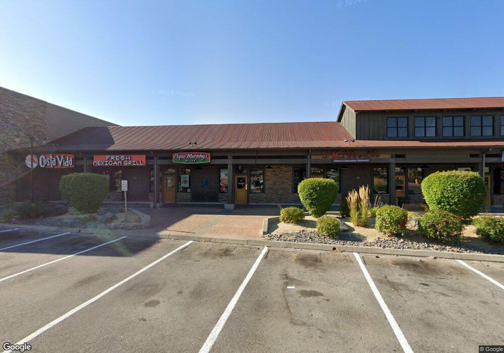
2955 N Mccarran Blvd Sparks, NV 89431
North Rock Neighborhood
--
Bed
--
Bath
1,260
Sq Ft
0.97
Acres
About This Home
This home is located at 2955 N Mccarran Blvd, Sparks, NV 89431. 2955 N Mccarran Blvd is a home located in Washoe County with nearby schools including Alice Maxwell Elementary School, Sparks Middle School, and Sparks High School.
Ownership History
Date
Name
Owned For
Owner Type
Purchase Details
Closed on
May 18, 2007
Sold by
Sparks Mccarran Llc
Bought by
Sparks Mercantile Lp
Create a Home Valuation Report for This Property
The Home Valuation Report is an in-depth analysis detailing your home's value as well as a comparison with similar homes in the area
Home Values in the Area
Average Home Value in this Area
Purchase History
| Date | Buyer | Sale Price | Title Company |
|---|---|---|---|
| Sparks Mercantile Lp | -- | Ticor Title Of Nevada Inc |
Source: Public Records
Tax History Compared to Growth
Tax History
| Year | Tax Paid | Tax Assessment Tax Assessment Total Assessment is a certain percentage of the fair market value that is determined by local assessors to be the total taxable value of land and additions on the property. | Land | Improvement |
|---|---|---|---|---|
| 2025 | $29,735 | $863,747 | $177,647 | $686,099 |
| 2024 | $29,735 | $866,547 | $162,843 | $703,704 |
| 2023 | $20,602 | $789,515 | $162,843 | $626,672 |
| 2022 | $25,491 | $694,947 | $162,843 | $532,104 |
| 2021 | $24,995 | $681,521 | $148,036 | $533,485 |
| 2020 | $25,581 | $697,378 | $148,036 | $549,342 |
| 2019 | $24,533 | $668,520 | $140,634 | $527,886 |
| 2018 | $23,980 | $653,600 | $125,831 | $527,769 |
| 2017 | $24,192 | $659,097 | $125,831 | $533,266 |
| 2016 | $24,330 | $662,990 | $125,831 | $537,159 |
| 2015 | $24,502 | $667,977 | $125,831 | $542,146 |
| 2014 | $23,780 | $648,201 | $125,831 | $522,370 |
| 2013 | -- | $645,233 | $125,831 | $519,402 |
Source: Public Records
Map
Nearby Homes
- 1125 Dodson Way
- 1160 York Way
- 1110 Xman Way
- 780 Emerson Way
- 3252 Holman Way
- 1345 Plymouth Way
- 3269 Valley Forge Way
- 465 Lenwood Dr
- 1023 Tyler Way
- 0 N Mccarran Blvd Unit 250052909
- 1003 Sbragia Way
- 1705 9th St
- 1124 Sbragia Way
- 5530 High Rock Way
- 1595 York Way
- 1945 4th St Unit 32
- 1945 4th St Unit 33
- 1945 4th St Unit 10
- 2154 Oppio St
- 119 Devere Way
- 930 Arleen Way
- 950 Arleen Way
- 900 Arleen Way
- 880 Arleen Way
- 970 Arleen Way
- 2975 Pyramid Way
- 990 Arleen Way
- 2500 Logan Way
- 1000 Arleen Way
- 1020 Arleen Way
- 0 State Route 445
- 935 Arleen Way
- 925 Arleen Way
- 2490 Logan Way
- 955 Arleen Way
- 2475 Logan Way
- 975 Arleen Way
- 2560 Holman Way
- 999 Arleen Way
- 2755 Nelson Way