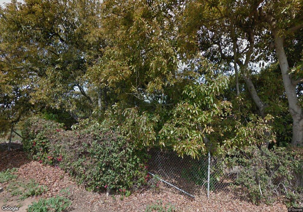
2955 Sumac Rd Fallbrook, CA 92028
Estimated Value: $1,200,525 - $1,392,000
Studio
2
Baths
5,927
Sq Ft
$219/Sq Ft
Est. Value
About This Home
This home is located at 2955 Sumac Rd, Fallbrook, CA 92028 and is currently estimated at $1,296,263, approximately $218 per square foot. 2955 Sumac Rd is a home located in San Diego County with nearby schools including Bonsall Elementary School, Sullivan Middle School, and Bonsall High.
Ownership History
Date
Name
Owned For
Owner Type
Purchase Details
Closed on
May 21, 1999
Sold by
Reeve Rodney and Llamas Yvette
Bought by
Taylor Harold M and Taylor Mary Ann
Current Estimated Value
Purchase Details
Closed on
Feb 24, 1996
Sold by
Taylor Harold M and Taylor Mary Ann
Bought by
Taylor Harold M and Taylor Mary Ann
Create a Home Valuation Report for This Property
The Home Valuation Report is an in-depth analysis detailing your home's value as well as a comparison with similar homes in the area
Home Values in the Area
Average Home Value in this Area
Purchase History
| Date | Buyer | Sale Price | Title Company |
|---|---|---|---|
| Taylor Harold M | -- | Fidelity National Title Co | |
| Taylor Harold M | -- | -- |
Source: Public Records
Tax History
| Year | Tax Paid | Tax Assessment Tax Assessment Total Assessment is a certain percentage of the fair market value that is determined by local assessors to be the total taxable value of land and additions on the property. | Land | Improvement |
|---|---|---|---|---|
| 2025 | $13,895 | $1,337,646 | $169,252 | $1,168,394 |
| 2024 | $13,895 | $1,311,419 | $165,934 | $1,145,485 |
| 2023 | $13,594 | $1,285,706 | $162,681 | $1,123,025 |
| 2022 | $13,365 | $1,260,497 | $159,492 | $1,101,005 |
| 2021 | $13,131 | $1,235,782 | $156,365 | $1,079,417 |
| 2020 | $12,877 | $1,223,111 | $154,762 | $1,068,349 |
| 2019 | $12,634 | $1,199,129 | $151,728 | $1,047,401 |
| 2018 | $12,699 | $1,175,617 | $148,753 | $1,026,864 |
| 2017 | $12,450 | $1,152,567 | $145,837 | $1,006,730 |
| 2016 | $12,159 | $1,129,969 | $142,978 | $986,991 |
| 2015 | $11,969 | $1,112,997 | $140,831 | $972,166 |
| 2014 | $11,729 | $1,091,196 | $138,073 | $953,123 |
Source: Public Records
Map
Nearby Homes
- 3945 Pala Mesa Dr
- 3849 Pala Mesa Dr
- 2691 Daisy Ln
- 4124 Arboles Ct
- 3021 Jicarilla Dr
- 3317 Via Altamira
- 4320 Los Padres Dr
- 4346 Los Padres Dr
- 0 Brodea Ln Unit NDP2506737
- 3976 Lorita Ln
- 2323 Wilt Rd
- 3655 Lupine Ln
- 0 Lupine Ln
- 34758 Criollo Way
- 35060 Hacienda Heights
- 35110 Citron Ln Unit Lot 132
- 35262 Persano Place
- 303 Sweet Place
- 35190 Blossom Place
- 212 Perennial Place
