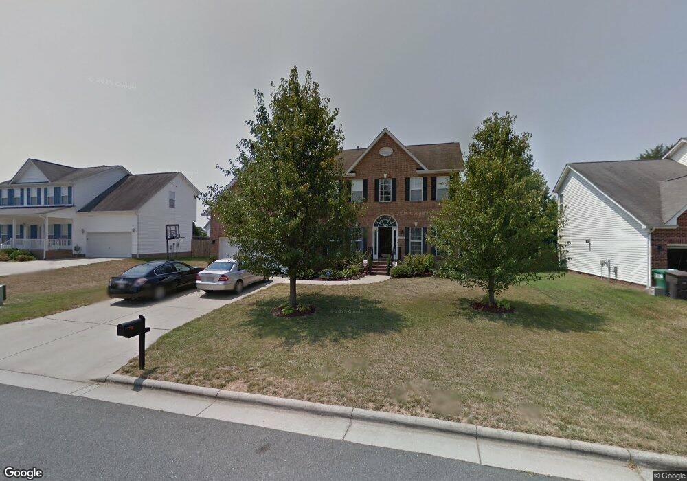
2958 Logbridge Rd High Point, NC 27265
Bent Tree NeighborhoodEstimated Value: $419,000 - $468,000
4
Beds
3
Baths
2,914
Sq Ft
$155/Sq Ft
Est. Value
About This Home
This home is located at 2958 Logbridge Rd, High Point, NC 27265 and is currently estimated at $450,352, approximately $154 per square foot. 2958 Logbridge Rd is a home located in Guilford County with nearby schools including Southwest Elementary School, Southwest Guilford Middle School, and Southwest Guilford High School.
Ownership History
Date
Name
Owned For
Owner Type
Purchase Details
Closed on
Jun 30, 2023
Sold by
Buckhannon Michael and Buckhannon Chareba
Bought by
Buckhannon Chareba
Current Estimated Value
Purchase Details
Closed on
Sep 23, 2002
Sold by
The New Fortis Corp
Bought by
Buckhannon Michael and Buckhannon Chareba
Home Financials for this Owner
Home Financials are based on the most recent Mortgage that was taken out on this home.
Original Mortgage
$240,000
Interest Rate
5.87%
Purchase Details
Closed on
May 15, 2002
Sold by
Peaceford Meadows Llc
Bought by
Westminster Homes Inc
Create a Home Valuation Report for This Property
The Home Valuation Report is an in-depth analysis detailing your home's value as well as a comparison with similar homes in the area
Home Values in the Area
Average Home Value in this Area
Purchase History
| Date | Buyer | Sale Price | Title Company |
|---|---|---|---|
| Buckhannon Chareba | -- | None Listed On Document | |
| Buckhannon Michael | $241,000 | -- | |
| Westminster Homes Inc | $33,000 | -- |
Source: Public Records
Mortgage History
| Date | Status | Borrower | Loan Amount |
|---|---|---|---|
| Previous Owner | Buckhannon Michael | $240,000 |
Source: Public Records
Tax History Compared to Growth
Tax History
| Year | Tax Paid | Tax Assessment Tax Assessment Total Assessment is a certain percentage of the fair market value that is determined by local assessors to be the total taxable value of land and additions on the property. | Land | Improvement |
|---|---|---|---|---|
| 2025 | $5,012 | $363,700 | $85,000 | $278,700 |
| 2024 | $5,012 | $363,700 | $85,000 | $278,700 |
| 2023 | $5,012 | $363,700 | $85,000 | $278,700 |
| 2022 | $4,903 | $363,700 | $85,000 | $278,700 |
| 2021 | $3,291 | $238,800 | $48,000 | $190,800 |
| 2020 | $3,233 | $234,600 | $48,000 | $186,600 |
| 2019 | $3,233 | $234,600 | $0 | $0 |
| 2018 | $3,217 | $234,600 | $0 | $0 |
| 2017 | $3,217 | $234,600 | $0 | $0 |
| 2016 | $2,899 | $206,700 | $0 | $0 |
| 2015 | $2,914 | $206,700 | $0 | $0 |
| 2014 | $2,964 | $206,700 | $0 | $0 |
Source: Public Records
Map
Nearby Homes
- 3007 Maple Branch Dr
- 3025 Sycamore Point Trail
- 3171 Riley Ford Trail Unit Lot 38
- Richmond Plan at Williard Place
- 3296 Alyssa Way
- Cameron Plan at Williard Place
- Southport Plan at Williard Place
- Columbia Plan at Williard Place
- Bailey Plan at Williard Place
- 3273 Alyssa Way
- 3171 Riley Ford Trail
- 3301 Alyssa Way
- 3199 Riley Ford Trail
- 3199 Riley Ford Trail Unit Lot 33
- 4103 Quarterstaff Ct
- 2305 Faircloth Way
- 2350 Birch View Dr
- 3525 Covent Oak Ct
- 3924 Braddock Rd
- 1515 Skeet Club Rd
- 2962 Logbridge Rd
- 2954 Logbridge Rd
- 4329 Twisting Creek Dr
- 2950 Logbridge Rd
- 295 Logbridge Rd
- 4351 Twisting Creek Dr
- 2955 Logbridge Rd
- 4325 Twisting Creek Dr
- 2951 Logbridge Rd
- 2948 Logbridge Rd
- 4340 Twisting Creek Dr
- 4336 Twisting Creek Dr
- 4355 Twisting Creek Dr
- 4346 Twisting Creek Dr
- 4332 Twisting Creek Dr
- 2944 Logbridge Rd
- 4328 Twisting Creek Dr
- 4347 Thistle Down Ct
- 4352 Thistle Down Ct
- 4359 Peaceford Glen Dr