2959 Newton Rd Bainbridge, GA 39817
Estimated Value: $449,000 - $652,949
--
Bed
--
Bath
3,320
Sq Ft
$166/Sq Ft
Est. Value
About This Home
This home is located at 2959 Newton Rd, Bainbridge, GA 39817 and is currently estimated at $550,975, approximately $165 per square foot. 2959 Newton Rd is a home with nearby schools including Bainbridge High School.
Ownership History
Date
Name
Owned For
Owner Type
Purchase Details
Closed on
Feb 28, 2013
Sold by
Hubbard Randell
Bought by
Hand Johnny Mack and Hand Amy Gail
Current Estimated Value
Home Financials for this Owner
Home Financials are based on the most recent Mortgage that was taken out on this home.
Original Mortgage
$133,000
Interest Rate
3.56%
Mortgage Type
New Conventional
Purchase Details
Closed on
May 18, 2007
Sold by
Hubbard Randell
Bought by
Robinson Vera L
Purchase Details
Closed on
May 30, 2006
Sold by
Humphrey Daniel L
Bought by
Hubbard Randell
Create a Home Valuation Report for This Property
The Home Valuation Report is an in-depth analysis detailing your home's value as well as a comparison with similar homes in the area
Home Values in the Area
Average Home Value in this Area
Purchase History
| Date | Buyer | Sale Price | Title Company |
|---|---|---|---|
| Hand Johnny Mack | $87,008 | -- | |
| Robinson Vera L | $56,500 | -- | |
| Hubbard Randell | $198,543 | -- |
Source: Public Records
Mortgage History
| Date | Status | Borrower | Loan Amount |
|---|---|---|---|
| Closed | Hand Johnny Mack | $133,000 |
Source: Public Records
Tax History Compared to Growth
Tax History
| Year | Tax Paid | Tax Assessment Tax Assessment Total Assessment is a certain percentage of the fair market value that is determined by local assessors to be the total taxable value of land and additions on the property. | Land | Improvement |
|---|---|---|---|---|
| 2024 | $4,484 | $179,230 | $43,132 | $136,098 |
| 2023 | $4,050 | $179,230 | $43,132 | $136,098 |
| 2022 | $4,254 | $175,282 | $43,132 | $132,150 |
| 2021 | $3,891 | $157,569 | $39,811 | $117,758 |
| 2020 | $3,623 | $142,631 | $39,811 | $102,820 |
| 2019 | $3,597 | $137,897 | $39,811 | $98,086 |
| 2018 | $3,542 | $137,897 | $39,811 | $98,086 |
| 2017 | $3,959 | $126,159 | $39,811 | $86,348 |
| 2016 | $2,164 | $98,360 | $41,324 | $57,036 |
| 2015 | $2,052 | $98,360 | $41,324 | $57,036 |
| 2014 | $1,132 | $44,901 | $44,901 | $0 |
| 2013 | -- | $34,803 | $34,803 | $0 |
Source: Public Records
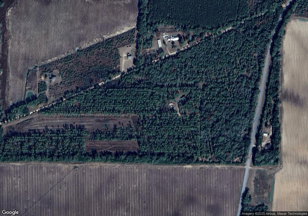
Map
Nearby Homes
- 0 Newton Rd
- 685 Wisteria Way
- 0 Babcock Rd Unit 12263
- 3236 Vada Rd
- 2137 Pondtown Rd
- 116 Flint River Heights Rd
- 160 Manhole Rd
- 149 County Line Church Rd
- 114 Pr Harrell Rd
- 150 Rivervale Dr
- 424 Grassy Flats Rd
- 0 Pelham Rd Unit 10563713
- 0 Pelham Rd Unit 24057095
- 0 Pelham Rd Unit 10557626
- 0 Pelham Rd Unit 23706472
- 287 Cloverleaf Cir
- 116 Rivervale Dr
- 0 Pine St Unit 10993
- 1013 E Cumberland Ct
- 2036 Lexington Ave