296 Blankenship Rd Mossyrock, WA 98564
Estimated Value: $316,000 - $501,000
--
Bed
2
Baths
1,960
Sq Ft
$205/Sq Ft
Est. Value
About This Home
This home is located at 296 Blankenship Rd, Mossyrock, WA 98564 and is currently estimated at $401,775, approximately $204 per square foot. 296 Blankenship Rd is a home located in Lewis County with nearby schools including Mossyrock Elementary School and Mossyrock Middle/High School.
Ownership History
Date
Name
Owned For
Owner Type
Purchase Details
Closed on
Aug 26, 2020
Sold by
Gootgeld Alan
Bought by
Gootgeld Alan and Gootgeld Sarah
Current Estimated Value
Purchase Details
Closed on
Nov 10, 2019
Sold by
Gwazdacz Christopher W
Bought by
Gootgeld Alan Eli
Purchase Details
Closed on
Oct 17, 2019
Sold by
Worden Annette W and Estate Of David E Worden
Bought by
Gwazdace Leo E and Gootgeld Sheri A
Purchase Details
Closed on
Feb 9, 2005
Sold by
Gwazdacz Jason E
Bought by
Gwazadacz Jason E and Gwazadacz Christopher West
Create a Home Valuation Report for This Property
The Home Valuation Report is an in-depth analysis detailing your home's value as well as a comparison with similar homes in the area
Home Values in the Area
Average Home Value in this Area
Purchase History
| Date | Buyer | Sale Price | Title Company |
|---|---|---|---|
| Gootgeld Alan | -- | None Listed On Document | |
| Gootgeld Alan Eli | -- | None Available | |
| Gwazdace Leo E | $14,687 | None Available | |
| Gwazadacz Jason E | -- | None Available |
Source: Public Records
Tax History Compared to Growth
Tax History
| Year | Tax Paid | Tax Assessment Tax Assessment Total Assessment is a certain percentage of the fair market value that is determined by local assessors to be the total taxable value of land and additions on the property. | Land | Improvement |
|---|---|---|---|---|
| 2025 | $299 | $298,000 | $103,000 | $195,000 |
| 2024 | $299 | $238,300 | $107,700 | $130,600 |
| 2023 | $477 | $222,100 | $79,400 | $142,700 |
| 2022 | $564 | $172,600 | $63,000 | $109,600 |
| 2021 | $18 | $172,600 | $63,000 | $109,600 |
| 2020 | $18 | $154,000 | $52,500 | $101,500 |
| 2019 | $1,032 | $141,000 | $52,500 | $88,500 |
| 2018 | $980 | $127,500 | $46,900 | $80,600 |
| 2017 | $912 | $112,900 | $37,100 | $75,800 |
| 2016 | $880 | $104,800 | $38,300 | $66,500 |
| 2015 | $1,535 | $109,000 | $42,500 | $66,500 |
| 2013 | $1,535 | $112,700 | $42,500 | $70,200 |
Source: Public Records
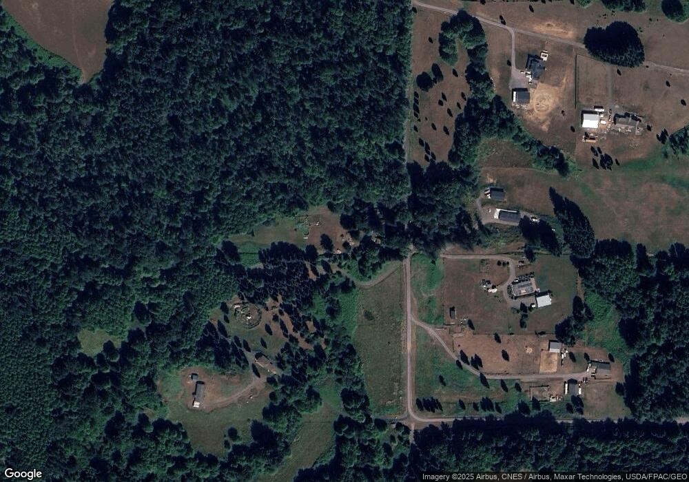
Map
Nearby Homes
- 119 Deer Ridge Ln
- 165 Swigert Rd
- 281 Jarvis Rd
- 108 Godfrey Rd
- 0 Madison Dr
- 167 Meadow Ln
- 242 Sunset Dr
- 238 Sunset Ave
- 174 Riley Way
- 557 71 Mossyrock Ave
- 219 Mossyrock Ave
- 233 Young Rd
- 212 Hope St
- 154 Mossyrock Rd W Unit 5
- 0 Boyd Rd
- 4057 - 51 U S 12
- 128 Valley View Dr
- 295 Degoede Dr
- 154 Valley View Dr
- 150 Elk Ridge Rd
- 0 Grabhorn Rd Unit 28189660
- 100 Grabhorn Dr
- 299 Blankenship Rd
- 297 Blankenship Rd
- 257 Blankenship Rd
- 109 Grabhorn Dr
- 267 Blankenship Rd
- 0 Grabhorn Dr
- 129 Dunn Rd
- 157 High Meadow Dr
- 140 Dunn Rd
- 218 Blankenship Rd
- 221 Blankenship Rd
- 121 Dunn Rd
- 253 High Meadow Dr
- 174 Bartlett Rd
- 162 Crestwood Dr
- 249 High Meadow Dr
- 411 Hatfield Rd
- 173 Grabhorn Dr