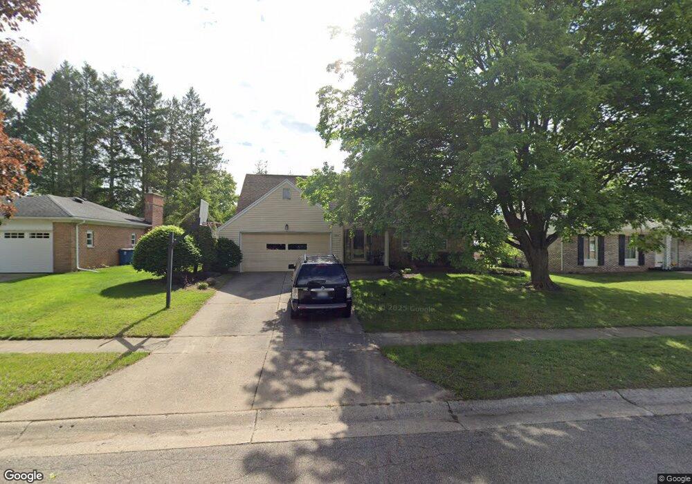
296 Eaton St Battle Creek, MI 49017
Northeast Battle Creek NeighborhoodEstimated Value: $262,000 - $289,000
3
Beds
3
Baths
2,000
Sq Ft
$136/Sq Ft
Est. Value
About This Home
This home is located at 296 Eaton St, Battle Creek, MI 49017 and is currently estimated at $271,922, approximately $135 per square foot. 296 Eaton St is a home located in Calhoun County with nearby schools including Verona Elementary School, Northwestern Middle School, and Battle Creek Central High School.
Ownership History
Date
Name
Owned For
Owner Type
Purchase Details
Closed on
Apr 28, 2014
Sold by
Hirzel Patrick S and Hirzel Catherine A
Bought by
Newton Dennis and Newton Yvette
Current Estimated Value
Create a Home Valuation Report for This Property
The Home Valuation Report is an in-depth analysis detailing your home's value as well as a comparison with similar homes in the area
Home Values in the Area
Average Home Value in this Area
Purchase History
| Date | Buyer | Sale Price | Title Company |
|---|---|---|---|
| Newton Dennis | $126,000 | None Available |
Source: Public Records
Tax History Compared to Growth
Tax History
| Year | Tax Paid | Tax Assessment Tax Assessment Total Assessment is a certain percentage of the fair market value that is determined by local assessors to be the total taxable value of land and additions on the property. | Land | Improvement |
|---|---|---|---|---|
| 2025 | -- | $126,700 | $0 | $0 |
| 2024 | $2,780 | $123,615 | $0 | $0 |
| 2023 | $3,178 | $104,152 | $0 | $0 |
| 2022 | $2,511 | $96,416 | $0 | $0 |
| 2021 | $2,998 | $93,527 | $0 | $0 |
| 2020 | $2,820 | $81,889 | $0 | $0 |
| 2019 | $2,809 | $75,981 | $0 | $0 |
| 2018 | $2,809 | $71,431 | $4,107 | $67,324 |
| 2017 | $2,723 | $65,788 | $0 | $0 |
| 2016 | $2,718 | $64,187 | $0 | $0 |
| 2015 | $3,697 | $58,700 | $3,439 | $55,261 |
| 2014 | $3,697 | $80,418 | $3,439 | $76,979 |
Source: Public Records
Map
Nearby Homes
- 52 Thorncroft Ave
- 561 Garrison Rd
- 0 Hopkins St
- 110 Harriet Ln
- 731 Roosevelt Ave E
- 21 Bradley St
- 0 Capital Ave NE
- 31 Oxford St
- 125 Sunset Blvd W
- 274 Central St
- 955 Capital Ave NE
- 276 Mckinley Ave N
- V/L Parkview Ave
- 208 Glendale Ave
- 202 Viking Dr
- 6722 Morgan Rd E
- 1731 Capital Ave NE
- 292 Hunter St
- 174 East Ave N
- 17 Gordon Blvd
- 290 Eaton St
- 300 Eaton St
- 101 Heather Ridge Rd
- 107 Heather Ridge Rd
- 306 Eaton St
- 97 Heather Ridge Rd
- 301 Eaton St
- 291 Eaton St
- 111 Heather Ridge Rd
- 305 Eaton St
- 310 Eaton St
- 287 Eaton St
- 282 Eaton St
- 115 Heather Ridge Rd
- 98 Heather Ridge Rd
- 104 Heather Ridge Rd
- 309 Eaton St
- 94 Heather Ridge Rd
- 89 Heather Ridge Rd
- 108 Heather Ridge Rd