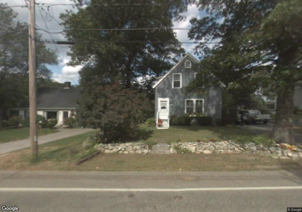
296 Gannett Rd Scituate, MA 02066
Estimated Value: $552,416 - $777,000
2
Beds
2
Baths
792
Sq Ft
$829/Sq Ft
Est. Value
About This Home
This home is located at 296 Gannett Rd, Scituate, MA 02066 and is currently estimated at $656,604, approximately $829 per square foot. 296 Gannett Rd is a home located in Plymouth County with nearby schools including Hatherly Elementary School, Lester J. Gates Middle School, and Scituate High School.
Ownership History
Date
Name
Owned For
Owner Type
Purchase Details
Closed on
Jun 8, 2023
Sold by
Watlers Robert L and Blood Maryann
Bought by
Blood Maryann
Current Estimated Value
Home Financials for this Owner
Home Financials are based on the most recent Mortgage that was taken out on this home.
Original Mortgage
$218,000
Outstanding Balance
$212,128
Interest Rate
6.35%
Mortgage Type
Stand Alone Refi Refinance Of Original Loan
Estimated Equity
$444,476
Purchase Details
Closed on
Apr 30, 1997
Sold by
Talbot John J and Talbot Lisa A
Bought by
Walters Robert L and Blood Maryann
Purchase Details
Closed on
Nov 30, 1988
Sold by
Taylor Thomas H
Bought by
Talbot John J
Create a Home Valuation Report for This Property
The Home Valuation Report is an in-depth analysis detailing your home's value as well as a comparison with similar homes in the area
Home Values in the Area
Average Home Value in this Area
Purchase History
| Date | Buyer | Sale Price | Title Company |
|---|---|---|---|
| Blood Maryann | -- | None Available | |
| Blood Maryann | -- | None Available | |
| Walters Robert L | $155,000 | -- | |
| Walters Robert L | $155,000 | -- | |
| Talbot John J | $136,000 | -- |
Source: Public Records
Mortgage History
| Date | Status | Borrower | Loan Amount |
|---|---|---|---|
| Open | Blood Maryann | $218,000 | |
| Closed | Blood Maryann | $218,000 | |
| Previous Owner | Talbot John J | $38,000 | |
| Previous Owner | Talbot John J | $20,000 |
Source: Public Records
Tax History Compared to Growth
Tax History
| Year | Tax Paid | Tax Assessment Tax Assessment Total Assessment is a certain percentage of the fair market value that is determined by local assessors to be the total taxable value of land and additions on the property. | Land | Improvement |
|---|---|---|---|---|
| 2025 | $4,292 | $429,600 | $335,300 | $94,300 |
| 2024 | $4,170 | $402,500 | $304,800 | $97,700 |
| 2023 | $4,287 | $385,200 | $293,400 | $91,800 |
| 2022 | $4,455 | $353,000 | $271,800 | $81,200 |
| 2021 | $8,533 | $330,400 | $258,900 | $71,500 |
| 2020 | $8,468 | $320,200 | $248,900 | $71,300 |
| 2019 | $4,320 | $314,400 | $244,000 | $70,400 |
| 2018 | $8,508 | $320,800 | $247,800 | $73,000 |
| 2017 | $4,375 | $310,500 | $237,500 | $73,000 |
| 2016 | $4,064 | $287,400 | $216,800 | $70,600 |
| 2015 | $3,630 | $277,100 | $206,500 | $70,600 |
Source: Public Records
Map
Nearby Homes
- 26 Mordecai Lincoln Rd
- 53 Border St
- 112 Hollett St
- 817 Country Way
- 392 S Main St
- 9 Forest Ln Unit 9
- 11 Forest Ln
- 84 Booth Hill Rd
- 8 Trudys Ln
- 40 Brewster Rd
- 29 Country Club Cir
- 9 Kyle Path
- 8 Westgate Ln
- 32 Ann Vinal Rd
- 245 S Main St
- 70 Black Horse Ln
- 430 Hatherly Rd
- 59 Captain Peirce Rd
- 25 Musquashicut Ave Unit 25
- 46 Marys Ln
- 300 Gannett Rd
- 294 Gannett Rd
- 3 Village Ln
- 3 Village Ln Unit 3
- 290 Gannett Rd
- 303 Gannett Rd
- 288 Gannett Rd
- 289 Gannett Rd
- 10 Village Ln
- 284 Gannett Rd
- 2 Kathys Path
- 2 Kathy's Path
- 9 Village Ln
- 26 Kathys Path
- 283 Gannett Rd
- 320 Gannett Rd
- 320 Gannett Rd Unit 1
- 280 Gannett Rd
- 31 Kathys Path
- 14 Village Ln