Estimated Value: $835,000 - $1,174,000
4
Beds
2
Baths
2,427
Sq Ft
$437/Sq Ft
Est. Value
About This Home
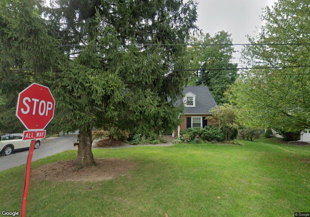
This home is located at 296 Homestead Rd, Wayne, PA 19087 and is currently estimated at $1,060,179, approximately $436 per square foot. 296 Homestead Rd is a home located in Chester County with nearby schools including Tredyffrin-Easttown Middle School, Conestoga Senior High School, and Armenian Sisters Academy.
Ownership History
Date
Name
Owned For
Owner Type
Purchase Details
Closed on
Oct 9, 1996
Sold by
Shook Timothy S and Shook Gail B
Bought by
Beatty William O and Beatty Janet
Current Estimated Value
Home Financials for this Owner
Home Financials are based on the most recent Mortgage that was taken out on this home.
Original Mortgage
$181,600
Interest Rate
8.06%
Mortgage Type
Balloon
Create a Home Valuation Report for This Property
The Home Valuation Report is an in-depth analysis detailing your home's value as well as a comparison with similar homes in the area
Home Values in the Area
Average Home Value in this Area
Purchase History
| Date | Buyer | Sale Price | Title Company |
|---|---|---|---|
| Beatty William O | $227,000 | -- |
Source: Public Records
Mortgage History
| Date | Status | Borrower | Loan Amount |
|---|---|---|---|
| Closed | Beatty William O | $181,600 |
Source: Public Records
Tax History Compared to Growth
Tax History
| Year | Tax Paid | Tax Assessment Tax Assessment Total Assessment is a certain percentage of the fair market value that is determined by local assessors to be the total taxable value of land and additions on the property. | Land | Improvement |
|---|---|---|---|---|
| 2025 | $9,518 | $270,210 | $103,220 | $166,990 |
| 2024 | $9,518 | $270,210 | $103,220 | $166,990 |
| 2023 | $8,940 | $270,210 | $103,220 | $166,990 |
| 2022 | $8,710 | $270,210 | $103,220 | $166,990 |
| 2021 | $7,405 | $234,190 | $103,230 | $130,960 |
| 2020 | $7,201 | $234,190 | $103,230 | $130,960 |
| 2019 | $6,973 | $234,190 | $103,230 | $130,960 |
| 2018 | $6,835 | $234,190 | $103,230 | $130,960 |
| 2017 | $6,672 | $234,190 | $103,230 | $130,960 |
| 2016 | -- | $234,190 | $103,230 | $130,960 |
| 2015 | -- | $234,190 | $103,230 | $130,960 |
| 2014 | -- | $234,190 | $103,230 | $130,960 |
Source: Public Records
Map
Nearby Homes
- 65 Upper Gulph Rd
- 273 Strafford Ave
- 211 Bella Vista Rd
- 302 S Valley Forge Rd
- 2 Sugartown Rd
- 349 Colket Ln
- 124 Deepdale Rd
- 542 Upper Weadley Rd
- 551 Barton Ln
- Lot 4 Rose Glenn
- Lot 7 Rose Glenn
- 404 Dorset Rd
- Lot 1 S Waterloo Rd
- 426 W Beechtree Ln
- 2 Forest Rd
- Lot 3 Rose Glenn
- Lot 6 Rose Glenn
- 419 Devon State Rd
- 634 Knox Rd
- Lot 8 Rose Glenn
- 278 Homestead Rd
- 308 Homestead Rd
- 208 Hillcrest Rd
- 207 Hillcrest Rd
- 264 Homestead Rd
- 275 Homestead Rd
- 324 Homestead Rd
- 218 Hillcrest Rd
- 209 Wentworth Rd
- 215 Hillcrest Rd
- 315 Homestead Rd
- 332 Homestead Rd
- 248 Homestead Rd
- 219 Wentworth Rd
- 228 Hillcrest Rd
- 240 Homestead Rd
- 225 Hillcrest Rd
- 309 E Conestoga Rd
- 344 Homestead Rd
- 220 Rosedale Ave