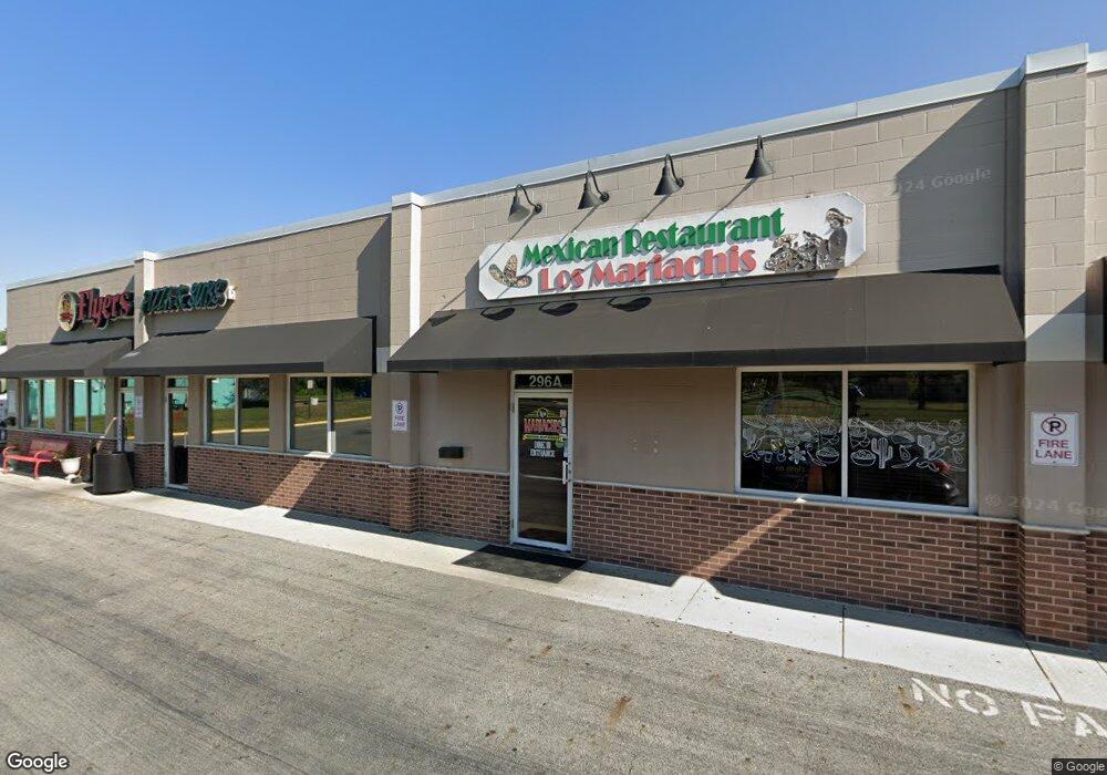
296 Main St Unit 2 Groveport, OH 43125
--
Bed
--
Bath
5,800
Sq Ft
1
Acres
About This Home
This home is located at 296 Main St Unit 2, Groveport, OH 43125. 296 Main St Unit 2 is a home located in Franklin County with nearby schools including Groveport Madison High School, Groveport Community School, and Madison Christian School.
Ownership History
Date
Name
Owned For
Owner Type
Purchase Details
Closed on
Sep 29, 2006
Sold by
Faiella Vincent and Faiella Laura A
Bought by
Geo J I Ltd
Home Financials for this Owner
Home Financials are based on the most recent Mortgage that was taken out on this home.
Original Mortgage
$137,000
Outstanding Balance
$82,291
Interest Rate
6.58%
Mortgage Type
Commercial
Purchase Details
Closed on
Aug 17, 1992
Bought by
Faiella Vincent
Purchase Details
Closed on
Apr 10, 1992
Create a Home Valuation Report for This Property
The Home Valuation Report is an in-depth analysis detailing your home's value as well as a comparison with similar homes in the area
Home Values in the Area
Average Home Value in this Area
Purchase History
| Date | Buyer | Sale Price | Title Company |
|---|---|---|---|
| Geo J I Ltd | $513,500 | Talon Group | |
| Faiella Vincent | -- | -- | |
| -- | -- | -- |
Source: Public Records
Mortgage History
| Date | Status | Borrower | Loan Amount |
|---|---|---|---|
| Open | Geo J I Ltd | $137,000 |
Source: Public Records
Tax History Compared to Growth
Tax History
| Year | Tax Paid | Tax Assessment Tax Assessment Total Assessment is a certain percentage of the fair market value that is determined by local assessors to be the total taxable value of land and additions on the property. | Land | Improvement |
|---|---|---|---|---|
| 2024 | $14,018 | $201,880 | $56,700 | $145,180 |
| 2023 | $13,958 | $201,880 | $56,700 | $145,180 |
| 2022 | $12,384 | $157,850 | $55,440 | $102,410 |
| 2021 | $12,580 | $157,850 | $55,440 | $102,410 |
| 2020 | $12,522 | $157,850 | $55,440 | $102,410 |
| 2019 | $12,443 | $143,500 | $50,400 | $93,100 |
| 2018 | $13,899 | $143,500 | $50,400 | $93,100 |
| 2017 | $13,827 | $143,500 | $50,400 | $93,100 |
| 2016 | $15,208 | $169,260 | $50,400 | $118,860 |
| 2015 | $15,429 | $169,260 | $50,400 | $118,860 |
| 2014 | $14,835 | $169,260 | $50,400 | $118,860 |
| 2013 | $6,486 | $169,260 | $50,400 | $118,860 |
Source: Public Records
Map
Nearby Homes
- 296 Main St Unit C
- 296 Main St
- 270 Main St
- 315 Clark Ct
- 0 Mohr Ave Unit 2729514
- 0 Mohr Ave Unit 2653172
- 0 Mohr Ave Unit 2530998
- 0 Mohr Ave Unit LOT2 2028250
- 0 Mohr Ave Unit LOT1 2028249
- 0 Mohr Ave
- 250 Main St
- 263 Lesleh Ave Unit 273
- 301 Main St
- 327 Clark Ct
- 259 Main St
- 197 Mohr Ave
- 316 Clark Ct
- 336 Main St
- 339 Clark Ct
- 328 Clark Ct