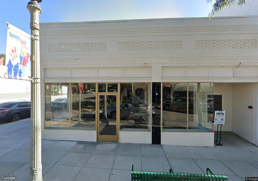
296 N 2nd Ave Upland, CA 91786
Estimated Value: $2,629,713
Studio
--
Bath
4,930
Sq Ft
$533/Sq Ft
Est. Value
About This Home
This home is located at 296 N 2nd Ave, Upland, CA 91786 and is currently estimated at $2,629,713, approximately $533 per square foot. 296 N 2nd Ave is a home located in San Bernardino County with nearby schools including Upland Elementary School, Upland Junior High School, and Upland High School.
Ownership History
Date
Name
Owned For
Owner Type
Purchase Details
Closed on
May 13, 2015
Sold by
Polk Gary and Polk Barbara
Bought by
Al Upland Llc
Current Estimated Value
Purchase Details
Closed on
Jun 9, 2006
Sold by
Opida Ciceron and Opida Marina
Bought by
Polk Gary and Polk Barbara
Home Financials for this Owner
Home Financials are based on the most recent Mortgage that was taken out on this home.
Original Mortgage
$585,000
Interest Rate
6.51%
Mortgage Type
Commercial
Purchase Details
Closed on
Mar 23, 1999
Sold by
Silverthorne Hope
Bought by
Opida Ciceron and Opida Marina
Home Financials for this Owner
Home Financials are based on the most recent Mortgage that was taken out on this home.
Original Mortgage
$280,000
Interest Rate
7.75%
Mortgage Type
Commercial
Purchase Details
Closed on
Aug 12, 1996
Sold by
Silverthorne William and Silverthorne Trust
Bought by
Silverthorne Hope
Create a Home Valuation Report for This Property
The Home Valuation Report is an in-depth analysis detailing your home's value as well as a comparison with similar homes in the area
Home Values in the Area
Average Home Value in this Area
Purchase History
| Date | Buyer | Sale Price | Title Company |
|---|---|---|---|
| Al Upland Llc | $1,290,000 | Spl Title Services | |
| Polk Gary | $900,000 | Chicago Title Company | |
| Opida Ciceron | $400,000 | Fidelity National Title Co | |
| Silverthorne Hope | -- | -- |
Source: Public Records
Mortgage History
| Date | Status | Borrower | Loan Amount |
|---|---|---|---|
| Previous Owner | Polk Gary | $585,000 | |
| Previous Owner | Opida Ciceron | $280,000 |
Source: Public Records
Tax History
| Year | Tax Paid | Tax Assessment Tax Assessment Total Assessment is a certain percentage of the fair market value that is determined by local assessors to be the total taxable value of land and additions on the property. | Land | Improvement |
|---|---|---|---|---|
| 2025 | $16,587 | $1,527,099 | $236,760 | $1,290,339 |
| 2024 | $16,059 | $1,497,156 | $232,118 | $1,265,038 |
| 2023 | $15,824 | $1,467,800 | $227,567 | $1,240,233 |
| 2022 | $15,486 | $1,439,020 | $223,105 | $1,215,915 |
| 2021 | $15,689 | $1,410,804 | $218,730 | $1,192,074 |
| 2020 | $15,058 | $1,396,338 | $216,487 | $1,179,851 |
| 2019 | $15,006 | $1,368,959 | $212,242 | $1,156,717 |
| 2018 | $14,633 | $1,342,116 | $208,080 | $1,134,036 |
| 2017 | $14,212 | $1,315,800 | $204,000 | $1,111,800 |
| 2016 | $13,896 | $1,018,598 | $202,022 | $816,576 |
| 2015 | $10,726 | $1,003,297 | $198,987 | $804,310 |
| 2014 | $10,450 | $983,644 | $195,089 | $788,555 |
Source: Public Records
Map
Nearby Homes
Your Personal Tour Guide
Ask me questions while you tour the home.