Estimated Value: $358,000 - $463,000
4
Beds
4
Baths
2,496
Sq Ft
$168/Sq Ft
Est. Value
About This Home
This home is located at 296 Spell Rd, Kent, OH 44240 and is currently estimated at $419,607, approximately $168 per square foot. 296 Spell Rd is a home located in Portage County with nearby schools including Stow-Munroe Falls High School, St Patrick Elementary School, and Walsh Jesuit High School.
Ownership History
Date
Name
Owned For
Owner Type
Purchase Details
Closed on
Aug 28, 2024
Sold by
Reder Timothy Hugh and Reder Carol Ann
Bought by
Reder Family Trust and Reder
Current Estimated Value
Home Financials for this Owner
Home Financials are based on the most recent Mortgage that was taken out on this home.
Original Mortgage
$133,000
Outstanding Balance
$130,845
Interest Rate
6.77%
Mortgage Type
New Conventional
Estimated Equity
$288,762
Purchase Details
Closed on
Sep 30, 1987
Bought by
Reder Timothy Hugh
Create a Home Valuation Report for This Property
The Home Valuation Report is an in-depth analysis detailing your home's value as well as a comparison with similar homes in the area
Home Values in the Area
Average Home Value in this Area
Purchase History
| Date | Buyer | Sale Price | Title Company |
|---|---|---|---|
| Reder Family Trust | $140,000 | None Listed On Document | |
| Reder Timothy Hugh | -- | -- |
Source: Public Records
Mortgage History
| Date | Status | Borrower | Loan Amount |
|---|---|---|---|
| Open | Reder Family Trust | $133,000 |
Source: Public Records
Tax History
| Year | Tax Paid | Tax Assessment Tax Assessment Total Assessment is a certain percentage of the fair market value that is determined by local assessors to be the total taxable value of land and additions on the property. | Land | Improvement |
|---|---|---|---|---|
| 2025 | $5,216 | $110,190 | $17,120 | $93,070 |
| 2024 | $4,690 | $110,190 | $17,120 | $93,070 |
| 2023 | $4,114 | $79,810 | $17,120 | $62,690 |
| 2021 | $4,117 | $79,810 | $17,120 | $62,690 |
| 2020 | $4,111 | $72,110 | $17,120 | $54,990 |
| 2019 | $4,068 | $72,110 | $17,120 | $54,990 |
| 2018 | $4,160 | $71,970 | $17,120 | $54,850 |
| 2017 | $4,219 | $71,970 | $17,120 | $54,850 |
| 2016 | $4,185 | $71,970 | $17,120 | $54,850 |
| 2015 | $4,186 | $71,970 | $17,120 | $54,850 |
| 2014 | $4,120 | $69,870 | $17,120 | $52,750 |
| 2013 | $4,115 | $69,870 | $17,120 | $52,750 |
Source: Public Records
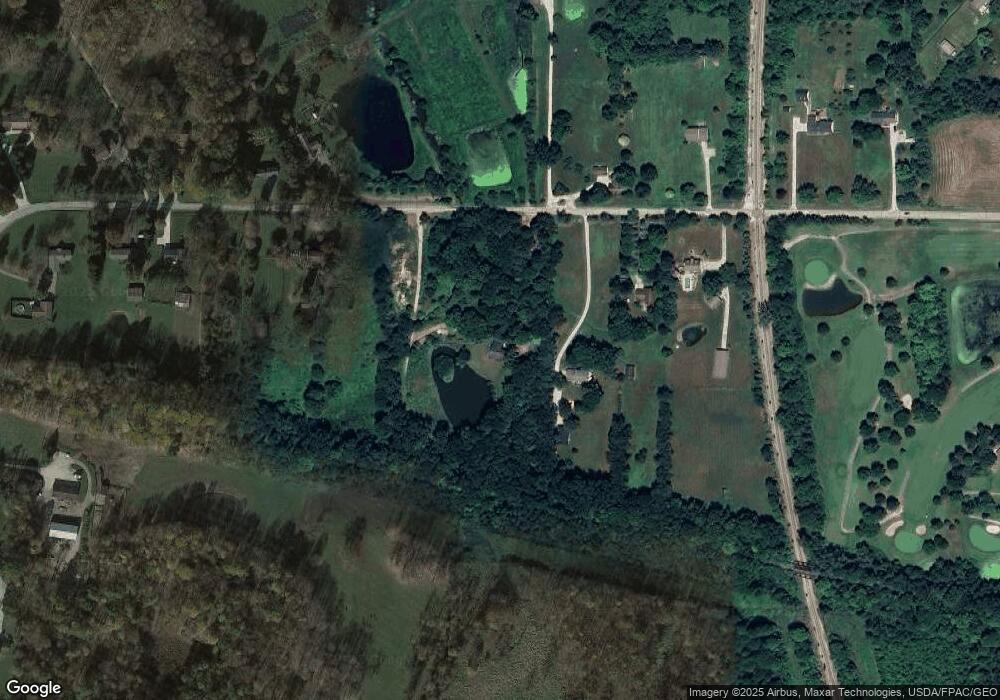
Map
Nearby Homes
- 5361 Diana Lynn Dr
- 490 Johnson Rd
- 131 Wanda Ct
- 5518 Pond Ct
- 1067 Erin Dr
- 994 Erin Dr
- 957 Edgewater Cir Unit 20
- 4544 Fishcreek Rd
- 4556 Fishcreek Rd
- 4534 Foresthill Rd
- 895 Highridge Ln
- 884 Highridge Ln
- 3313 Crown Pointe Dr
- 832 Harold St
- 5163 Beckett Ridge
- 1189 Garth Dr
- 2221 Crockett Cir
- 1285 Gale Dr
- 3958 Lake Run Blvd
- 4287 Osage St
Your Personal Tour Guide
Ask me questions while you tour the home.