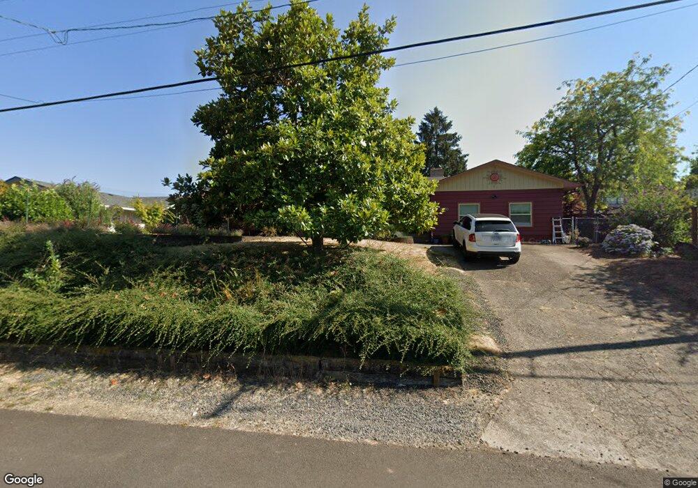
2960 W 19th Ave Eugene, OR 97405
Churchill NeighborhoodEstimated Value: $552,000 - $596,000
4
Beds
3
Baths
2,499
Sq Ft
$230/Sq Ft
Est. Value
About This Home
This home is located at 2960 W 19th Ave, Eugene, OR 97405 and is currently estimated at $575,141, approximately $230 per square foot. 2960 W 19th Ave is a home located in Lane County with nearby schools including McCornack Elementary School, Kennedy Middle School, and Churchill High School.
Ownership History
Date
Name
Owned For
Owner Type
Purchase Details
Closed on
Jan 14, 2005
Sold by
Elliott James I and Elliott Marina B
Bought by
Dufault Charles C
Current Estimated Value
Home Financials for this Owner
Home Financials are based on the most recent Mortgage that was taken out on this home.
Original Mortgage
$172,800
Outstanding Balance
$86,308
Interest Rate
5.69%
Mortgage Type
Purchase Money Mortgage
Estimated Equity
$488,833
Create a Home Valuation Report for This Property
The Home Valuation Report is an in-depth analysis detailing your home's value as well as a comparison with similar homes in the area
Home Values in the Area
Average Home Value in this Area
Purchase History
| Date | Buyer | Sale Price | Title Company |
|---|---|---|---|
| Dufault Charles C | $216,000 | Fidelity National Title Insu |
Source: Public Records
Mortgage History
| Date | Status | Borrower | Loan Amount |
|---|---|---|---|
| Open | Dufault Charles C | $172,800 | |
| Closed | Dufault Charles C | $43,200 |
Source: Public Records
Tax History
| Year | Tax Paid | Tax Assessment Tax Assessment Total Assessment is a certain percentage of the fair market value that is determined by local assessors to be the total taxable value of land and additions on the property. | Land | Improvement |
|---|---|---|---|---|
| 2025 | $6,582 | $337,795 | -- | -- |
| 2024 | $6,500 | $327,957 | -- | -- |
| 2023 | $6,500 | $318,405 | $0 | $0 |
| 2022 | $6,089 | $309,132 | $0 | $0 |
| 2021 | $5,719 | $300,129 | $0 | $0 |
| 2020 | $5,739 | $291,388 | $0 | $0 |
| 2019 | $5,543 | $282,901 | $0 | $0 |
| 2018 | $5,189 | $266,662 | $0 | $0 |
| 2017 | $4,849 | $266,662 | $0 | $0 |
| 2016 | $4,552 | $247,469 | $0 | $0 |
| 2015 | $4,400 | $240,261 | $0 | $0 |
| 2014 | $4,333 | $233,263 | $0 | $0 |
Source: Public Records
Map
Nearby Homes
- 1910 Hawkins Ln
- 1571 Buck St
- 1999 Hawkins Ln
- 2085 Trillium St
- 1432 Fetters Loop
- 2953 W 15th Ave
- 2111 Hawkins Ln Unit 45
- 1474 Fetters Loop
- 1511 Fetters Loop
- 2239 Hawkins Ln
- 1438 Quaker St
- 3685 Westleigh St
- 2279 City View St
- 1326 Quaker St
- 2590 Bowmont Dr
- 1735 Cleveland Place
- 2161 W 16th Ave
- 3534 Westleigh St
- 3752 Kevington Ave
- 2230 Cleveland St
- 2940 W 19th Ave
- 1911 Lambert St
- 2945 Eldridge Ave
- 2989 Eldridge Ave
- 2945 W 19th Ave
- 1910 Broadview St
- 2915 Eldridge Ave
- 2995 W 19th Ave
- 2905 W 19th Ave
- 3005 W 19th Ave
- 2954 Eldridge Ave
- 2986 Eldridge Ave
- 1940 Lambert St
- 2950 W 18th Place
- 1960 Broadview St
- 2897 W 19th Ave
- 1952 Lambert St
- 3019 W 19th Ave
- 3000 W 18th Place
- 1909 Broadview St
Your Personal Tour Guide
Ask me questions while you tour the home.