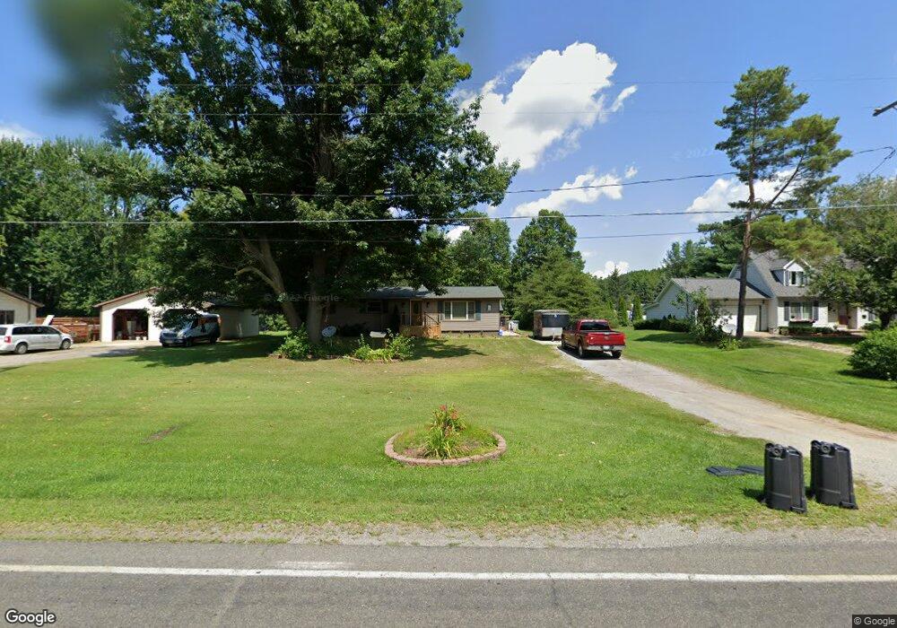
2961 Curtis Rd Birch Run, MI 48415
Estimated Value: $163,236 - $194,000
3
Beds
2
Baths
1,272
Sq Ft
$144/Sq Ft
Est. Value
About This Home
This home is located at 2961 Curtis Rd, Birch Run, MI 48415 and is currently estimated at $182,559, approximately $143 per square foot. 2961 Curtis Rd is a home located in Saginaw County with nearby schools including Thomas White School, Martin G. Atkins Elementary School, and Bridgeport High School.
Ownership History
Date
Name
Owned For
Owner Type
Purchase Details
Closed on
Mar 23, 2002
Sold by
Fahrenbruch Kim M and Nagy Kim M
Bought by
Fahrenbruch Andy J and Fahrenbruch Kim M
Current Estimated Value
Home Financials for this Owner
Home Financials are based on the most recent Mortgage that was taken out on this home.
Original Mortgage
$41,300
Outstanding Balance
$4,547
Interest Rate
7.24%
Mortgage Type
Stand Alone Second
Estimated Equity
$178,012
Purchase Details
Closed on
Jul 11, 1984
Create a Home Valuation Report for This Property
The Home Valuation Report is an in-depth analysis detailing your home's value as well as a comparison with similar homes in the area
Home Values in the Area
Average Home Value in this Area
Purchase History
| Date | Buyer | Sale Price | Title Company |
|---|---|---|---|
| Fahrenbruch Andy J | -- | -- | |
| -- | $43,000 | -- |
Source: Public Records
Mortgage History
| Date | Status | Borrower | Loan Amount |
|---|---|---|---|
| Open | Fahrenbruch Andy J | $41,300 |
Source: Public Records
Tax History Compared to Growth
Tax History
| Year | Tax Paid | Tax Assessment Tax Assessment Total Assessment is a certain percentage of the fair market value that is determined by local assessors to be the total taxable value of land and additions on the property. | Land | Improvement |
|---|---|---|---|---|
| 2025 | $1,855 | $67,500 | $0 | $0 |
| 2024 | $453 | $65,400 | $0 | $0 |
| 2023 | $432 | $58,900 | $0 | $0 |
| 2022 | $1,555 | $52,500 | $0 | $0 |
| 2021 | $1,432 | $46,100 | $0 | $0 |
| 2020 | $1,391 | $42,600 | $0 | $0 |
| 2019 | $1,316 | $40,000 | $4,200 | $35,800 |
| 2018 | $376 | $40,500 | $0 | $0 |
| 2017 | $1,195 | $38,100 | $0 | $0 |
| 2016 | $1,287 | $37,400 | $0 | $0 |
| 2014 | -- | $32,700 | $0 | $29,100 |
| 2013 | -- | $32,500 | $0 | $0 |
Source: Public Records
Map
Nearby Homes
- 6580 Bell Rd
- VL Fort Rd
- 3130 E Moore Rd
- 1750 Curtis Rd
- VL E Moore Rd
- 1944 E Moore Rd
- 1374 E Moore Rd
- 7863 Sheridan Rd Lot #2 Rd
- 7863 Sheridan Rd Lot 4 Rd
- 7863 Sheridan Rd Lot #3 Rd
- 4333 Riverview Dr
- 1160 E Moore Rd
- 7365 Cole Rd
- 2000 Sloan Rd
- 6412 Tin Lizzy Ln
- 3002 Boice Dr
- 1321 Ruby Ann Dr
- 6250 Dixie Hwy
- 6605 Bridgeport Hwy
- 7720 Rookway Rd