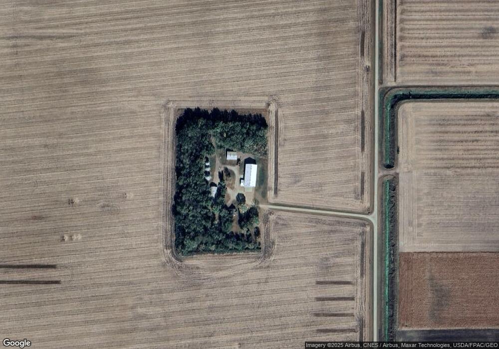
29615 290th Ave Sleepy Eye, MN 56085
Estimated Value: $246,000 - $778,124
4
Beds
2
Baths
1,501
Sq Ft
$341/Sq Ft
Est. Value
About This Home
This home is located at 29615 290th Ave, Sleepy Eye, MN 56085 and is currently estimated at $512,062, approximately $341 per square foot. 29615 290th Ave is a home located in Brown County with nearby schools including Sleepy Eye Elementary School and Sleepy Eye Secondary School.
Ownership History
Date
Name
Owned For
Owner Type
Purchase Details
Closed on
Jul 7, 2023
Sold by
Peterson Scott L and Peterson Linda M
Bought by
Peterson Scott L and Peterson Linda M
Current Estimated Value
Purchase Details
Closed on
Jul 1, 2023
Sold by
Peterson Linda M and Peterson Scott L
Bought by
Peterson Linda M and Peterson Scott L
Purchase Details
Closed on
Jun 7, 2023
Sold by
Peterson Scott L and Peterson Linda M
Bought by
Peterson Scott L and Peterson Linda M
Create a Home Valuation Report for This Property
The Home Valuation Report is an in-depth analysis detailing your home's value as well as a comparison with similar homes in the area
Home Values in the Area
Average Home Value in this Area
Purchase History
| Date | Buyer | Sale Price | Title Company |
|---|---|---|---|
| Peterson Scott L | -- | None Listed On Document | |
| Peterson Linda M | -- | None Listed On Document | |
| Peterson Scott L | $500 | None Listed On Document |
Source: Public Records
Tax History Compared to Growth
Tax History
| Year | Tax Paid | Tax Assessment Tax Assessment Total Assessment is a certain percentage of the fair market value that is determined by local assessors to be the total taxable value of land and additions on the property. | Land | Improvement |
|---|---|---|---|---|
| 2024 | $3,006 | $670,200 | $501,700 | $168,500 |
| 2023 | $3,006 | $718,600 | $501,700 | $216,900 |
| 2022 | $2,887 | $545,800 | $355,000 | $190,800 |
| 2021 | $1,525 | $473,000 | $303,400 | $169,600 |
| 2020 | $1,497 | $469,400 | $297,400 | $172,000 |
| 2019 | $1,505 | $472,400 | $303,200 | $169,200 |
| 2018 | $1,020 | $469,800 | $303,200 | $166,600 |
| 2017 | $1,506 | $481,200 | $313,900 | $167,300 |
| 2016 | $1,110 | $500,148 | $0 | $0 |
| 2015 | -- | $0 | $0 | $0 |
| 2014 | -- | $0 | $0 | $0 |
| 2013 | -- | $0 | $0 | $0 |
Source: Public Records
Map
Nearby Homes
- 70 Acres M/L Section 19
- 40 Acres M/L Section 18
- 29794 270th St
- 25241 State Highway 4
- 61256 440th St
- 731 3rd Ave NE
- 709 6th Ave NE
- 625 3rd Ave NE
- 604 Birch St NE
- 104 Elm St NW
- 0 Xxx 620th Ave
- 420 Walnut St SW
- 121 3rd Ave NE
- 721 Maple St SW
- 605 Water St SW
- 508 Summit St SE
- 905 2nd Ave SW
- XXX 620th Ave
- 210 3rd St E
- 209 Gallager St