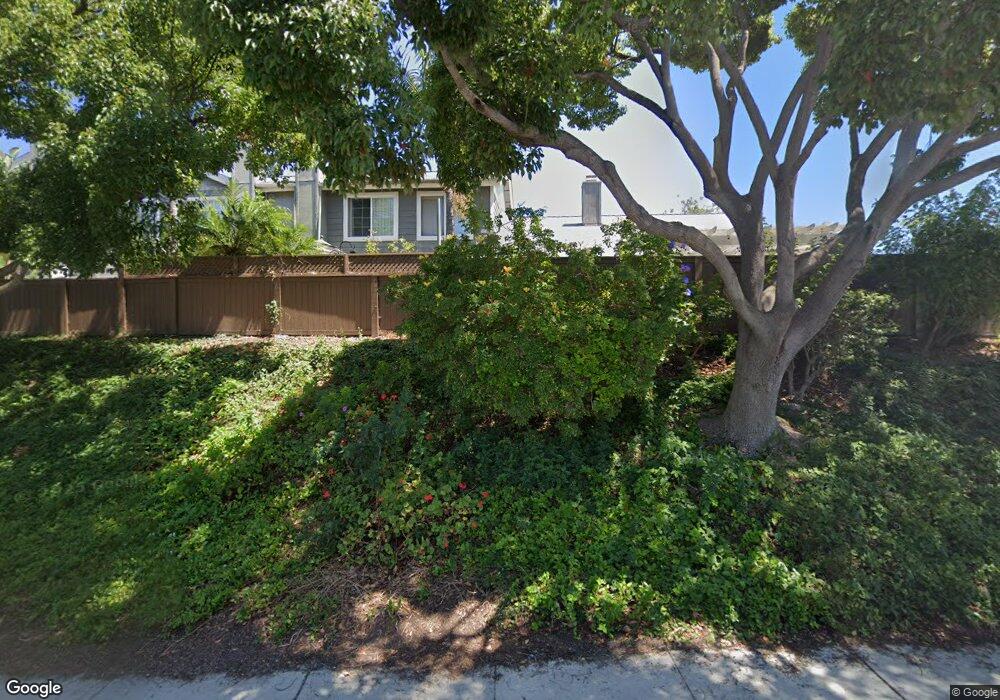
2963 Cape Cod Cir Carlsbad, CA 92010
Calavera Hills NeighborhoodEstimated Value: $970,000 - $1,135,000
4
Beds
3
Baths
1,724
Sq Ft
$609/Sq Ft
Est. Value
About This Home
This home is located at 2963 Cape Cod Cir, Carlsbad, CA 92010 and is currently estimated at $1,050,379, approximately $609 per square foot. 2963 Cape Cod Cir is a home located in San Diego County with nearby schools including Hope Elementary School, Calavera Hills Middle, and Sage Creek High.
Ownership History
Date
Name
Owned For
Owner Type
Purchase Details
Closed on
Jun 20, 2017
Sold by
Shepard Garner and Hair Laraine
Bought by
Stafford Gregory and Stafford Krista
Current Estimated Value
Home Financials for this Owner
Home Financials are based on the most recent Mortgage that was taken out on this home.
Original Mortgage
$559,625
Outstanding Balance
$460,679
Interest Rate
3.91%
Mortgage Type
FHA
Estimated Equity
$589,700
Purchase Details
Closed on
Nov 19, 2010
Sold by
Shepard Garner and Shepard Marisa Depaulo
Bought by
Shepard Garner
Home Financials for this Owner
Home Financials are based on the most recent Mortgage that was taken out on this home.
Original Mortgage
$366,873
Interest Rate
4.17%
Mortgage Type
FHA
Purchase Details
Closed on
Mar 5, 2009
Sold by
Bryant William J
Bought by
Shepard Garner E and Depaulo Marisa L
Home Financials for this Owner
Home Financials are based on the most recent Mortgage that was taken out on this home.
Original Mortgage
$352,563
Interest Rate
5.06%
Mortgage Type
FHA
Purchase Details
Closed on
Nov 28, 2007
Sold by
Bryant Jennifer M
Bought by
Bryant William J
Home Financials for this Owner
Home Financials are based on the most recent Mortgage that was taken out on this home.
Original Mortgage
$291,000
Interest Rate
6.3%
Mortgage Type
Stand Alone Refi Refinance Of Original Loan
Purchase Details
Closed on
Sep 17, 1998
Sold by
Icardo Albert Living Trust 01-18-92 and Albert
Bought by
Bryant William J and Bryant Jennifer M
Home Financials for this Owner
Home Financials are based on the most recent Mortgage that was taken out on this home.
Original Mortgage
$180,500
Interest Rate
6.79%
Purchase Details
Closed on
Nov 17, 1989
Purchase Details
Closed on
Aug 16, 1988
Purchase Details
Closed on
Oct 11, 1985
Purchase Details
Closed on
Jan 25, 1984
Create a Home Valuation Report for This Property
The Home Valuation Report is an in-depth analysis detailing your home's value as well as a comparison with similar homes in the area
Home Values in the Area
Average Home Value in this Area
Purchase History
| Date | Buyer | Sale Price | Title Company |
|---|---|---|---|
| Stafford Gregory | $600,000 | First American Title Company | |
| Shepard Garner | -- | Ticor Title | |
| Shepard Garner E | $385,000 | Stewart Title Of California | |
| Bryant William J | -- | Commonwealth Land Title Co | |
| Bryant William J | $200,000 | South Coast Title Company | |
| -- | $142,000 | -- | |
| -- | $137,000 | -- | |
| -- | $129,000 | -- | |
| -- | $95,000 | -- |
Source: Public Records
Mortgage History
| Date | Status | Borrower | Loan Amount |
|---|---|---|---|
| Open | Stafford Gregory | $559,625 | |
| Previous Owner | Shepard Garner | $366,873 | |
| Previous Owner | Shepard Garner E | $352,563 | |
| Previous Owner | Bryant William J | $291,000 | |
| Previous Owner | Bryant William J | $180,500 |
Source: Public Records
Tax History
| Year | Tax Paid | Tax Assessment Tax Assessment Total Assessment is a certain percentage of the fair market value that is determined by local assessors to be the total taxable value of land and additions on the property. | Land | Improvement |
|---|---|---|---|---|
| 2025 | $7,086 | $682,690 | $443,308 | $239,382 |
| 2024 | $7,086 | $669,305 | $434,616 | $234,689 |
| 2023 | $7,048 | $656,183 | $426,095 | $230,088 |
| 2022 | $6,938 | $643,318 | $417,741 | $225,577 |
| 2021 | $6,884 | $630,704 | $409,550 | $221,154 |
| 2020 | $6,837 | $624,238 | $405,351 | $218,887 |
| 2019 | $6,712 | $611,999 | $397,403 | $214,596 |
| 2018 | $6,427 | $600,000 | $389,611 | $210,389 |
| 2017 | $4,564 | $425,584 | $276,354 | $149,230 |
| 2016 | $4,378 | $417,240 | $270,936 | $146,304 |
| 2015 | $4,360 | $410,974 | $266,867 | $144,107 |
| 2014 | $4,286 | $402,925 | $261,640 | $141,285 |
Source: Public Records
Map
Nearby Homes
- 3652 Jetty Point
- 2835 Hillsboro Ct
- 2823 Andover Ave
- 3434 Ravine Dr
- 2808 Winthrop Ave
- 4375 Stanford St
- 2822 Winthrop Ave
- 3593 Granite Ct
- 3594 Granite Ct
- 3019 Glenbrook St
- 4378 Shasta Place
- 3522 Buck Ridge Ave
- 3505 N Fork Ave
- 3712 Ridge Ct
- 3492 Corvallis St
- 2622 Half Dome Place
- 3122 Salina Rd
- 4843 Nelson Ct
- 4822 Nelson Ct
- 2726 Naples Ct
- 2961 Cape Cod Cir
- 2965 Cape Cod Cir
- 2957 Cape Cod Cir
- 2925 Cape Cod Cir
- 2955 Cape Cod Cir
- 2953 Cape Cod Cir
- 4568 Cape Cod Cir
- 4566 Cape Cod Cir
- 4564 Cape Cod Cir
- 4562 Cape Cod Cir
- 2951 Cape Cod Cir
- 2910 Lancaster Rd
- 2908 Lancaster Rd
- 2912 Lancaster Rd
- 4560 Cape Cod Cir Unit 109
- 2904 Lancaster Rd
- 2916 Lancaster Rd
- 4558 Cape Cod Cir
- 2918 Lancaster Rd
- 4554 Cape Cod Cir
Your Personal Tour Guide
Ask me questions while you tour the home.