2963 E Brunswick Rd Beecher, IL 60401
Estimated Value: $569,855
Studio
--
Bath
--
Sq Ft
1,092,920
Sq Ft Lot
About This Home
This home is located at 2963 E Brunswick Rd, Beecher, IL 60401 and is currently priced at $569,855. 2963 E Brunswick Rd is a home located in Will County with nearby schools including Beecher Elementary School, Beecher Junior High School, and Beecher High School.
Ownership History
Date
Name
Owned For
Owner Type
Purchase Details
Closed on
Oct 17, 2017
Sold by
Smith Steven and Smith Nicole
Bought by
Smith Steven J and Reichert Smith Nicole L
Current Estimated Value
Purchase Details
Closed on
Aug 9, 2001
Sold by
Smit Steven
Bought by
Smit Steven and Smit Nicole
Home Financials for this Owner
Home Financials are based on the most recent Mortgage that was taken out on this home.
Original Mortgage
$34,853
Interest Rate
6.62%
Purchase Details
Closed on
Aug 3, 2001
Sold by
Smit Alvin and Smit Helen
Bought by
Smit Steven
Home Financials for this Owner
Home Financials are based on the most recent Mortgage that was taken out on this home.
Original Mortgage
$34,853
Interest Rate
6.62%
Create a Home Valuation Report for This Property
The Home Valuation Report is an in-depth analysis detailing your home's value as well as a comparison with similar homes in the area
Purchase History
| Date | Buyer | Sale Price | Title Company |
|---|---|---|---|
| Smith Steven J | -- | None Available | |
| Smit Steven | -- | -- | |
| Smit Steven | -- | -- |
Source: Public Records
Mortgage History
| Date | Status | Borrower | Loan Amount |
|---|---|---|---|
| Closed | Smit Steven | $34,853 |
Source: Public Records
Tax History
| Year | Tax Paid | Tax Assessment Tax Assessment Total Assessment is a certain percentage of the fair market value that is determined by local assessors to be the total taxable value of land and additions on the property. | Land | Improvement |
|---|---|---|---|---|
| 2024 | $12,384 | $166,400 | $35,256 | $131,144 |
| 2023 | $12,384 | $152,146 | $31,930 | $120,216 |
| 2022 | $10,431 | $140,679 | $29,233 | $111,446 |
| 2021 | $11,369 | $131,369 | $27,026 | $104,343 |
| 2020 | $11,151 | $123,392 | $25,127 | $98,265 |
| 2019 | $10,765 | $116,773 | $23,536 | $93,237 |
| 2018 | $10,593 | $110,454 | $22,027 | $88,427 |
| 2017 | $10,392 | $107,032 | $21,163 | $85,869 |
| 2016 | $10,611 | $106,900 | $21,031 | $85,869 |
| 2015 | $10,098 | $105,791 | $20,699 | $85,092 |
| 2014 | $10,098 | $106,632 | $20,826 | $85,806 |
| 2013 | $10,098 | $110,610 | $21,628 | $88,982 |
Source: Public Records
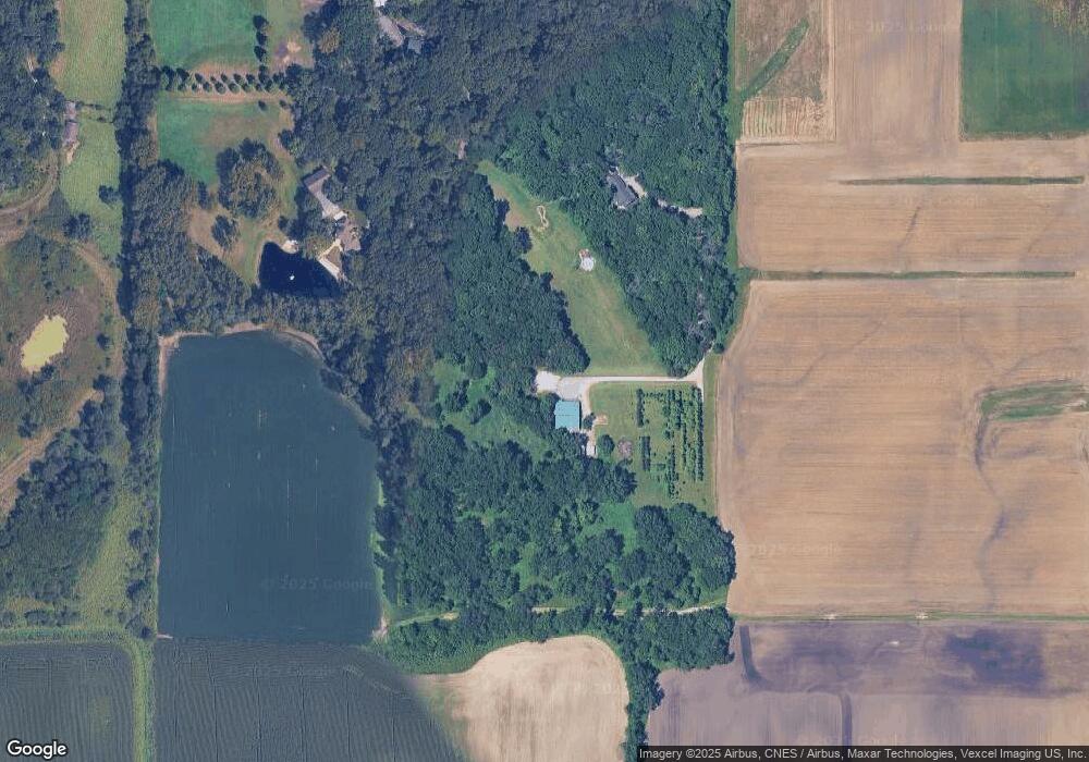
Map
Nearby Homes
- 28525 S Yates Ave
- 29153 S Klemme Rd
- 27805 S Klemme Rd
- 13161 Stateline Rd
- 1744 E Offner Rd
- 14664 Sheffield Ave
- 30048 S Klemme Rd
- 27815 S Stoney Island Ave
- 27249 S Stoney Island Ave
- 3321 E Red Oak Ln
- 27243 S Stoney Island Ave
- 27241 S Stoney Island Ave
- 12881 White Oak Ave
- 2658 E Royal Ridge Dr
- 26270-26273 S Royal Crest Dr
- 26208 S Victoria Ln
- 3321 E Reichert Dr
- 26854 S Woodlawn Ave
- 13617 W 117th Ave
- 26712 S Jacobs Ln
- 2921 E Brunswick Rd
- 2915 E Brunswick Rd
- 2901 E Brunswick Rd
- 2941 E Brunswick Rd
- 3029 E Brunswick Rd
- 2737 E Brunswick Rd
- 2701 E Brunswick Rd
- 2749 E Brunswick Rd
- 3113 E Brunswick Rd
- Par 3 E Brunswick Rd
- Parcel 2 E Brunswick Rd
- Parcel 1 E Brunswick Rd
- 2715 E Brunswick Rd
- 2860 E Brunswick Rd
- 2663 E Brunswick Rd
- 3175 E Brunswick Rd
- 2844 E Brunswick Rd
- 28924 S Klemme Rd
- 3024 E Brunswick Rd
- 3030 E Brunswick Rd
Your Personal Tour Guide
Ask me questions while you tour the home.