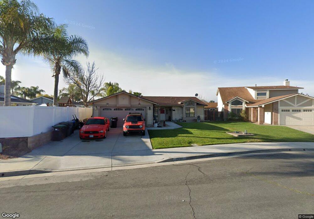
29649 Melitta Rd Menifee, CA 92584
Estimated Value: $488,235 - $530,000
3
Beds
2
Baths
1,165
Sq Ft
$440/Sq Ft
Est. Value
About This Home
This home is located at 29649 Melitta Rd, Menifee, CA 92584 and is currently estimated at $512,559, approximately $439 per square foot. 29649 Melitta Rd is a home located in Riverside County with nearby schools including Taawila Elementary School, Menifee Valley Middle School, and Pinacate Middle School.
Ownership History
Date
Name
Owned For
Owner Type
Purchase Details
Closed on
Dec 20, 2004
Sold by
Deveau Frederick and Deveau Wendy
Bought by
Deveau Frederick and Deveau Wendy
Current Estimated Value
Home Financials for this Owner
Home Financials are based on the most recent Mortgage that was taken out on this home.
Original Mortgage
$243,750
Interest Rate
1%
Mortgage Type
Negative Amortization
Purchase Details
Closed on
Oct 24, 2001
Sold by
Deveau Wendy and Robinson Wendy J
Bought by
Deveau Fredrick and Deveau Wendy
Home Financials for this Owner
Home Financials are based on the most recent Mortgage that was taken out on this home.
Original Mortgage
$120,000
Interest Rate
8.25%
Create a Home Valuation Report for This Property
The Home Valuation Report is an in-depth analysis detailing your home's value as well as a comparison with similar homes in the area
Home Values in the Area
Average Home Value in this Area
Purchase History
| Date | Buyer | Sale Price | Title Company |
|---|---|---|---|
| Deveau Frederick | -- | Old Republic Title Company | |
| Deveau Fredrick | -- | Southland Title Corporation |
Source: Public Records
Mortgage History
| Date | Status | Borrower | Loan Amount |
|---|---|---|---|
| Closed | Deveau Frederick | $243,750 | |
| Closed | Deveau Fredrick | $120,000 |
Source: Public Records
Tax History Compared to Growth
Tax History
| Year | Tax Paid | Tax Assessment Tax Assessment Total Assessment is a certain percentage of the fair market value that is determined by local assessors to be the total taxable value of land and additions on the property. | Land | Improvement |
|---|---|---|---|---|
| 2025 | $2,288 | $193,131 | $64,367 | $128,764 |
| 2023 | $2,288 | $185,633 | $61,868 | $123,765 |
| 2022 | $2,272 | $181,994 | $60,655 | $121,339 |
| 2021 | $2,233 | $178,426 | $59,466 | $118,960 |
| 2020 | $2,198 | $176,598 | $58,857 | $117,741 |
| 2019 | $2,155 | $173,136 | $57,703 | $115,433 |
| 2018 | $2,067 | $169,742 | $56,573 | $113,169 |
| 2017 | $2,033 | $166,414 | $55,464 | $110,950 |
| 2016 | $1,959 | $163,152 | $54,377 | $108,775 |
| 2015 | $1,931 | $160,703 | $53,561 | $107,142 |
| 2014 | $1,880 | $157,558 | $52,513 | $105,045 |
Source: Public Records
Map
Nearby Homes
- 29641 Melitta Rd
- 25707 Pelion Rd
- 29877 Gifhorn Ct
- 29787 Berea Rd
- 29370 Murrieta Rd
- 25561 Dorval Ct
- 26281 Hohokam Ct
- 29350 Murrieta Rd
- 26251 Potomac Dr
- 26091 San Quintin Rd
- 26041 San Quintin Rd
- 29235 Waverly Dr
- 25908 Caravan Ct
- 25382 Rocking Horse Ct
- 29147 Waverly Dr
- 25324 Country Fair Dr
- 25349 Rocking Horse Ct
- 26231 Foxgrove Rd
- 1 Vía Cabana
- 26537 Lazy Creek Rd
- 29691 Melitta Rd
- 29661 Melitta Rd
- 29678 Gifhorn Rd
- 29699 Melitta Rd
- 29633 Melitta Rd
- 29666 Gifhorn Rd
- 29638 Melitta Rd
- 29715 Melitta Rd
- 29625 Melitta Rd
- 29652 Melitta Rd
- 29666 Melitta Rd
- 29700 Gifhorn Rd
- 29694 Park City Ave
- 29677 Gifhorn Rd
- 29660 Melitta Rd
- 29723 Melitta Rd
- 29698 Melitta Rd
- 29692 Melitta Rd
- 29708 Park City Ave
- 29706 Melitta Rd