2965 Mt Highway 206 Columbia Falls, MT 59912
Estimated Value: $984,970 - $1,083,000
3
Beds
3
Baths
2,996
Sq Ft
$345/Sq Ft
Est. Value
About This Home
This home is located at 2965 Mt Highway 206, Columbia Falls, MT 59912 and is currently estimated at $1,033,985, approximately $345 per square foot. 2965 Mt Highway 206 is a home located in Flathead County with nearby schools including Ruder Elementary School, Columbia Falls Junior High School (7-8), and Columbia Falls High School.
Ownership History
Date
Name
Owned For
Owner Type
Purchase Details
Closed on
May 18, 2021
Sold by
Appleby Mark and Appleby Patricia
Bought by
Thomas Dan Charles and Thomas Ann Bromm
Current Estimated Value
Home Financials for this Owner
Home Financials are based on the most recent Mortgage that was taken out on this home.
Original Mortgage
$674,100
Outstanding Balance
$610,903
Interest Rate
3.1%
Mortgage Type
New Conventional
Estimated Equity
$423,082
Purchase Details
Closed on
Sep 16, 2019
Sold by
Appleby Mark and Appleby Patricia
Bought by
Montana Department Of Transportation
Purchase Details
Closed on
Jan 24, 2003
Sold by
Sullivan Donald and Sullivan Rochelle
Bought by
Appleby Mark and Appleby Patricia
Create a Home Valuation Report for This Property
The Home Valuation Report is an in-depth analysis detailing your home's value as well as a comparison with similar homes in the area
Home Values in the Area
Average Home Value in this Area
Purchase History
| Date | Buyer | Sale Price | Title Company |
|---|---|---|---|
| Thomas Dan Charles | -- | Fidelity National Title | |
| Montana Department Of Transportation | -- | Insured Titles | |
| Appleby Mark | -- | None Available |
Source: Public Records
Mortgage History
| Date | Status | Borrower | Loan Amount |
|---|---|---|---|
| Open | Thomas Dan Charles | $674,100 |
Source: Public Records
Tax History Compared to Growth
Tax History
| Year | Tax Paid | Tax Assessment Tax Assessment Total Assessment is a certain percentage of the fair market value that is determined by local assessors to be the total taxable value of land and additions on the property. | Land | Improvement |
|---|---|---|---|---|
| 2025 | $3,812 | $865,200 | $0 | $0 |
| 2024 | $4,643 | $750,630 | $0 | $0 |
| 2023 | $4,636 | $750,630 | $0 | $0 |
| 2022 | $3,931 | $495,930 | $0 | $0 |
| 2021 | $4,016 | $485,370 | $0 | $0 |
| 2020 | $3,551 | $400,600 | $0 | $0 |
| 2019 | $3,357 | $400,600 | $0 | $0 |
| 2018 | $3,016 | $346,000 | $0 | $0 |
| 2017 | $2,880 | $346,000 | $0 | $0 |
| 2016 | $2,777 | $322,900 | $0 | $0 |
| 2015 | $2,758 | $322,900 | $0 | $0 |
| 2014 | $3,076 | $218,678 | $0 | $0 |
Source: Public Records
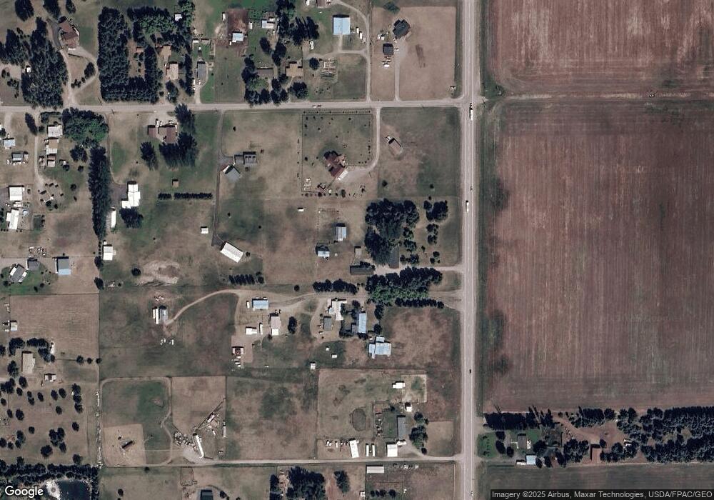
Map
Nearby Homes
- 556 Windy Acres Dr
- 101 Jensen Rd
- 155 Jensen Rd
- 346 Lynnewood Dr
- 597 Eckelberry Dr
- 701 Legacy Ln
- 3285 Mt Highway 206
- 670 Homestake Trail
- 300 Jay Hawk Ln
- Nhn Trap Rd
- 628 Kelley Rd
- 147 Patriots Ln
- 680 Kelley Rd
- 189 Patriots Ln
- 154 Columbia Range Dr
- 125 Firehall Ln
- 211 Patriots Ln
- 169 Firehall Ln
- 255 Patriots Ln
- 474 Trap Rd
- 2965 Montana Highway 206
- 2923 Montana Highway 206
- 2925 Mt Highway 206
- 134 Bad Rock Dr
- 122 Bad Rock Dr
- 2945 Mt Highway 206
- 8 Bad Rock Dr
- 156 Bad Rock Dr
- 178 Bad Rock Dr
- 2929 Mt Highway 206
- 155 Bad Rock Dr
- 165 Bad Rock Dr
- 2900 Mt Highway 206
- 2879 Montana Highway 206
- 190 Bad Rock Dr
- 531 Windy Acres Dr
- 555 Windy Acres Dr
- 198 Bad Rock Dr
- 185 Bad Rock Dr
- Nhn Highway 206