2965 Mt Highway 83 Bigfork, MT 59911
Estimated Value: $860,997 - $1,065,000
3
Beds
3
Baths
2,511
Sq Ft
$394/Sq Ft
Est. Value
About This Home
This home is located at 2965 Mt Highway 83, Bigfork, MT 59911 and is currently estimated at $989,499, approximately $394 per square foot. 2965 Mt Highway 83 is a home located in Flathead County with nearby schools including Swan River Elementary School, Swan River Junior High School, and Bigfork High School.
Ownership History
Date
Name
Owned For
Owner Type
Purchase Details
Closed on
Jan 4, 2019
Sold by
Short Rosemary Jane
Bought by
Smith Terry Allen and Smith Susan Linda
Current Estimated Value
Home Financials for this Owner
Home Financials are based on the most recent Mortgage that was taken out on this home.
Original Mortgage
$349,600
Outstanding Balance
$308,605
Interest Rate
4.8%
Mortgage Type
Commercial
Estimated Equity
$680,894
Purchase Details
Closed on
Sep 22, 2015
Sold by
Short Rose
Bought by
Short Rosemary Jane and The Rosemary Jane Short Living Trust
Purchase Details
Closed on
Jun 25, 2010
Sold by
Sneed William and Sneed William L
Bought by
Short Rose
Home Financials for this Owner
Home Financials are based on the most recent Mortgage that was taken out on this home.
Original Mortgage
$385,000
Interest Rate
4.82%
Mortgage Type
Seller Take Back
Create a Home Valuation Report for This Property
The Home Valuation Report is an in-depth analysis detailing your home's value as well as a comparison with similar homes in the area
Purchase History
| Date | Buyer | Sale Price | Title Company |
|---|---|---|---|
| Smith Terry Allen | -- | Insured Title | |
| Short Rosemary Jane | -- | None Available | |
| Short Rose | -- | Alliance Title |
Source: Public Records
Mortgage History
| Date | Status | Borrower | Loan Amount |
|---|---|---|---|
| Open | Smith Terry Allen | $349,600 | |
| Previous Owner | Short Rose | $385,000 |
Source: Public Records
Tax History
| Year | Tax Paid | Tax Assessment Tax Assessment Total Assessment is a certain percentage of the fair market value that is determined by local assessors to be the total taxable value of land and additions on the property. | Land | Improvement |
|---|---|---|---|---|
| 2025 | $3,062 | $950,600 | $0 | $0 |
| 2024 | $3,342 | $716,900 | $0 | $0 |
| 2023 | $3,446 | $716,900 | $0 | $0 |
| 2022 | $3,271 | $505,700 | $0 | $0 |
| 2021 | $3,317 | $505,700 | $0 | $0 |
| 2020 | $3,299 | $473,900 | $0 | $0 |
| 2019 | $3,205 | $473,900 | $0 | $0 |
| 2018 | $3,281 | $458,800 | $0 | $0 |
| 2017 | $3,262 | $458,800 | $0 | $0 |
| 2016 | $2,918 | $396,400 | $0 | $0 |
| 2015 | $2,687 | $396,400 | $0 | $0 |
| 2014 | $2,860 | $252,121 | $0 | $0 |
Source: Public Records
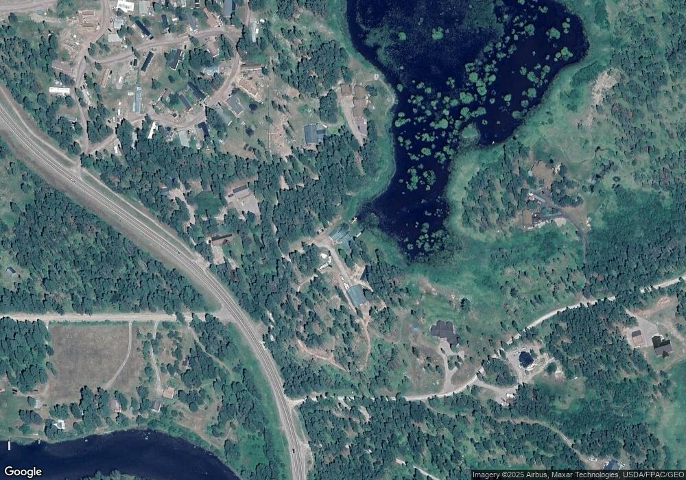
Map
Nearby Homes
- #30 Bear Creek Village
- 172 Swanlea Rd S
- 280 Shady Ln
- 518 Eastman Dr
- 305 Ferndale Dr Unit 41&42
- 305 Ferndale Dr Unit 42
- 305 Ferndale Dr Unit 41
- 72 Pilots Trail
- 29545 Drifting Way
- 639 Three Eagle Ln
- 30 Big Cedar
- 115 Ferndale Dr
- 12022 Mount Highway 83
- 1 Red Owl Rd
- 2 Red Owl Rd
- 4 Snowy Owl Ln
- 3 Snowy Owl Ln
- 5 Snowy Owl Ln
- 6 Snowy Owl Ln
- 17 Snowy Owl Ln
- 2965 Swan Hwy
- 2955 Swan Hwy
- 2955 Mt Highway 83
- Nhn Pine Ridge Rd
- 2959 Swan Hwy
- 2983 Highway 83
- 596 Pine Ridge Rd
- 2945 Hwy 83
- 2945 Swan Hwy
- 2945 Highway 83
- 640 Pine Ridge Rd
- 188 Marken Loop
- 3053 Swan Hwy
- 184 Marken Loop
- 2905 Swan Hwy Unit Trailer 31
- 182 Marken Loop
- 653 Pine Ridge Rd
- 3065 Swan Hwy
- 3065 Mt Highway 83
- 145 Marken Loop
Your Personal Tour Guide
Ask me questions while you tour the home.