2966 Startown Rd Lincolnton, NC 28092
Estimated Value: $274,000 - $344,000
2
Beds
2
Baths
1,302
Sq Ft
$243/Sq Ft
Est. Value
About This Home
This home is located at 2966 Startown Rd, Lincolnton, NC 28092 and is currently estimated at $315,813, approximately $242 per square foot. 2966 Startown Rd is a home located in Lincoln County with nearby schools including Norris S. Childers Elementary School, Lincolnton Middle School, and Lincolnton High School.
Ownership History
Date
Name
Owned For
Owner Type
Purchase Details
Closed on
Aug 24, 2005
Sold by
Shugart Cameron Clay and Shugart Michaele Leatherman
Bought by
Henline Jerri M
Current Estimated Value
Home Financials for this Owner
Home Financials are based on the most recent Mortgage that was taken out on this home.
Original Mortgage
$101,200
Outstanding Balance
$52,991
Interest Rate
5.61%
Mortgage Type
New Conventional
Estimated Equity
$262,822
Purchase Details
Closed on
Aug 24, 1995
Bought by
Shugart Cameron Clay and Michaele Le
Create a Home Valuation Report for This Property
The Home Valuation Report is an in-depth analysis detailing your home's value as well as a comparison with similar homes in the area
Home Values in the Area
Average Home Value in this Area
Purchase History
| Date | Buyer | Sale Price | Title Company |
|---|---|---|---|
| Henline Jerri M | $126,500 | Chicago Title Insurance Comp | |
| Shugart Cameron Clay | $75,000 | -- |
Source: Public Records
Mortgage History
| Date | Status | Borrower | Loan Amount |
|---|---|---|---|
| Open | Henline Jerri M | $101,200 |
Source: Public Records
Tax History Compared to Growth
Tax History
| Year | Tax Paid | Tax Assessment Tax Assessment Total Assessment is a certain percentage of the fair market value that is determined by local assessors to be the total taxable value of land and additions on the property. | Land | Improvement |
|---|---|---|---|---|
| 2025 | $1,623 | $245,586 | $70,488 | $175,098 |
| 2024 | $1,603 | $245,586 | $70,488 | $175,098 |
| 2023 | $1,567 | $245,586 | $70,488 | $175,098 |
| 2022 | $1,259 | $161,374 | $56,790 | $104,584 |
| 2021 | $1,227 | $161,374 | $56,790 | $104,584 |
| 2020 | $1,080 | $161,374 | $56,790 | $104,584 |
| 2019 | $1,080 | $161,374 | $56,790 | $104,584 |
| 2018 | $999 | $131,835 | $47,680 | $84,155 |
| 2017 | $858 | $131,835 | $47,680 | $84,155 |
| 2016 | $858 | $131,835 | $47,680 | $84,155 |
| 2015 | $927 | $131,835 | $47,680 | $84,155 |
| 2014 | $978 | $141,443 | $50,492 | $90,951 |
Source: Public Records
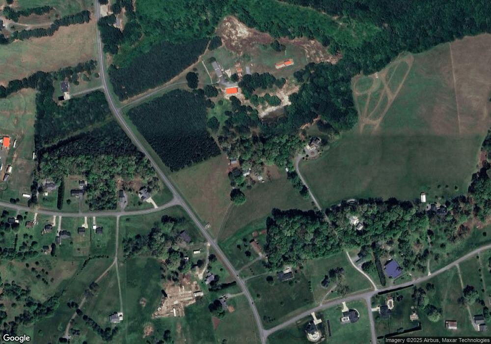
Map
Nearby Homes
- 0 Eva Ct
- 3603 Ritchie Rd
- 3200 River Rd
- 2400 Carriage Ln
- 2616 Carriage Ln
- 2845 Wood Gate Rd
- 2705 Eagle Dr
- 2556 Maiden Salem Rd
- 2748 Eagle Dr
- 4206 Gladstone Ln
- 00 Park Cir
- 2274 Deerfield Dr
- 1870 Grace Ct
- 980 Lakeland Ave
- Winston Plan at Clark Creek Landing
- Pearson Plan at Clark Creek Landing - Townhomes
- Newton Plan at Clark Creek Landing - Townhomes
- Maywood Plan at Clark Creek Landing - Townhomes
- Elston Plan at Clark Creek Landing
- Hamilton Plan at Clark Creek Landing
- 2242 Eva Ct
- 2926 Startown Rd
- 000 Ritchie Rd
- 0000 Ritchie Rd
- 000 Ritchie Rd Unit 2A
- 0000 Ritchie Rd Unit 8
- 2961 Startown Rd
- 2997 Startown Rd
- 3030 Startown Rd
- 2904 Startown Rd
- 2943 Startown Rd
- 2222 Eva Ct
- 2252 Eva Ct
- 2905 Startown Rd
- 3485 Ritchie Rd
- Lot #16 Eva Ct
- 2261 Eva Ct
- 2214 Eva Ct
- 3510 Ritchie Rd
- 00 Ritchie Rd Unit 9