2966 Wells Fargo Rd Central Point, OR 97502
Estimated Value: $571,113 - $647,000
4
Beds
3
Baths
2,432
Sq Ft
$250/Sq Ft
Est. Value
About This Home
This home is located at 2966 Wells Fargo Rd, Central Point, OR 97502 and is currently estimated at $607,704, approximately $249 per square foot. 2966 Wells Fargo Rd is a home located in Jackson County with nearby schools including Richardson Elementary School, Scenic Middle School, and Crater High School.
Ownership History
Date
Name
Owned For
Owner Type
Purchase Details
Closed on
Jan 2, 2004
Sold by
Merryman Len R
Bought by
Holst Steve and Holst Anna
Current Estimated Value
Create a Home Valuation Report for This Property
The Home Valuation Report is an in-depth analysis detailing your home's value as well as a comparison with similar homes in the area
Home Values in the Area
Average Home Value in this Area
Purchase History
| Date | Buyer | Sale Price | Title Company |
|---|---|---|---|
| Holst Steve | $30,000 | First American |
Source: Public Records
Tax History Compared to Growth
Tax History
| Year | Tax Paid | Tax Assessment Tax Assessment Total Assessment is a certain percentage of the fair market value that is determined by local assessors to be the total taxable value of land and additions on the property. | Land | Improvement |
|---|---|---|---|---|
| 2025 | $3,751 | $305,340 | $87,900 | $217,440 |
| 2024 | $3,751 | $296,450 | $109,930 | $186,520 |
| 2023 | $3,627 | $287,820 | $106,730 | $181,090 |
| 2022 | $3,549 | $287,820 | $106,730 | $181,090 |
| 2021 | $3,449 | $279,440 | $103,620 | $175,820 |
| 2020 | $3,348 | $271,310 | $100,610 | $170,700 |
| 2019 | $3,271 | $255,740 | $94,840 | $160,900 |
| 2018 | $3,170 | $248,300 | $92,080 | $156,220 |
| 2017 | $3,094 | $248,300 | $92,080 | $156,220 |
| 2016 | $3,004 | $234,050 | $86,790 | $147,260 |
| 2015 | $2,865 | $234,050 | $86,790 | $147,260 |
| 2014 | $2,796 | $220,630 | $81,800 | $138,830 |
Source: Public Records
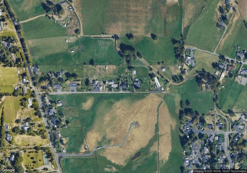
Map
Nearby Homes
- 3307 Freeland Rd
- 3220 Freeland Rd
- 3506 New Ray Rd
- 3642 Oak Pine Way
- 429 Mayberry Ln
- 570 Bachand Cir
- 420 Mayberry Ln
- 25 Donna Way
- 465 Creekside Cir
- 407 Silver Creek Dr
- 487 Creekside Cir
- 21 Hickory Ln
- 1134 Steamboat Dr
- 659 Jackson Creek Dr
- 1135 Shake Dr
- 2805 Old Military Rd
- 619 Palo Verde Way
- 4228 Old Stage Rd
- 626 Griffin Oaks Dr
- 349 W Pine St
- 2994 Wells Fargo Rd
- 2942 Wells Fargo Rd
- 3046 Wells Fargo Rd
- 2900 Wells Fargo Rd
- 3092 Wells Fargo Rd
- 3092 Wells Fargo St
- 3094 Wells Fargo Rd
- 3391 Green Acres Dr
- 3400 Old Stage Rd
- 3380 Old Stage Rd
- 3440 Old Stage Rd
- 3475 Freeland Rd
- 3470 Old Stage Rd
- 3383 Green Acres Dr
- 3366 Old Stage Rd
- 3395 Green Acres Dr
- 3498 Old Stage Rd
- 3602 Old Stage Rd
- 3399 Green Acres Dr
- 2855 Heritage Rd