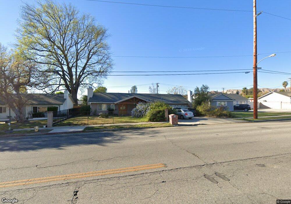
2967 Tapo St Simi Valley, CA 93063
Central Simi Valley NeighborhoodEstimated Value: $783,673 - $855,000
About This Home
This home is located at 2967 Tapo St, Simi Valley, CA 93063 and is currently estimated at $819,668, approximately $634 per square foot. 2967 Tapo St is a home located in Ventura County with nearby schools including Township Elementary School, Valley View Middle School, and Simi Valley High School.
Ownership History
We collect this data history from publicly available records. To have your information removed, we recommend requesting removal directly through your county’s website.
Purchase Details
Home Financials for this Owner
Home Financials are based on the most recent Mortgage that was taken out on this home.Home Values in the Area
Average Home Value in this Area
Purchase History
We collect this data history from publicly available records. To have your information removed, we recommend requesting removal directly through your county’s website.
| Date | Buyer | Sale Price | Title Company |
|---|---|---|---|
| $232,500 | American Title Co | ||
| -- | American Title Co |
Mortgage History
We collect this data history from publicly available records. To have your information removed, we recommend requesting removal directly through your county’s website.
| Date | Status | Borrower | Loan Amount |
|---|---|---|---|
| Previous Owner | $186,000 | ||
| Closed | $23,250 |
Tax History
We collect this data history from publicly available records. To have your information removed, we recommend requesting removal directly through your county’s website.
| Year | Tax Paid | Tax Assessment Tax Assessment Total Assessment is a certain percentage of the fair market value that is determined by local assessors to be the total taxable value of land and additions on the property. | Land | Improvement |
|---|---|---|---|---|
| 2025 | $4,565 | $357,312 | $142,923 | $214,389 |
| 2024 | $4,565 | $350,306 | $140,120 | $210,186 |
| 2023 | $4,290 | $343,438 | $137,373 | $206,065 |
| 2022 | $4,259 | $336,704 | $134,679 | $202,025 |
| 2021 | $4,215 | $330,102 | $132,038 | $198,064 |
| 2020 | $4,120 | $326,719 | $130,685 | $196,034 |
| 2019 | $3,930 | $320,314 | $128,123 | $192,191 |
| 2018 | $3,888 | $314,034 | $125,611 | $188,423 |
| 2017 | $3,796 | $307,878 | $123,149 | $184,729 |
| 2016 | $3,622 | $301,842 | $120,735 | $181,107 |
| 2015 | $3,539 | $297,310 | $118,922 | $178,388 |
| 2014 | $3,482 | $291,489 | $116,594 | $174,895 |
Map
- 4514 Lubbock Dr Unit C
- 4502 Lubbock Dr Unit D
- 2831 Tapo St
- 4545 Alamo St Unit G
- 4590 Fort Worth Dr
- 4153 Felipe Ln Unit C
- 2931 Esperanza Way Unit B
- 4637 Adam Rd
- 4600 Adam Rd
- 3021 Travis Ave
- 2858 Kadota St
- 3364 Greenville Ave
- 3387 Amarillo Ave
- 3367 Lathrop Ave
- 2830 Dalhart Ave
- 3491 Tapo St
- 2778 Santa Ynez Ave
- 2615 Santa Ynez Ave
- 3821 Sierra Madre Ct
- 3843 San Gabriel St
Ask me questions while you tour the home.