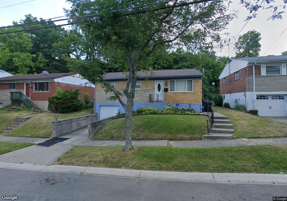
2967 Westknolls Ln Cincinnati, OH 45211
Westwood NeighborhoodEstimated Value: $154,000 - $202,000
3
Beds
2
Baths
1,102
Sq Ft
$160/Sq Ft
Est. Value
About This Home
This home is located at 2967 Westknolls Ln, Cincinnati, OH 45211 and is currently estimated at $175,975, approximately $159 per square foot. 2967 Westknolls Ln is a home located in Hamilton County with nearby schools including Western Hills High School, Gilbert A. Dater High School, and Robert A. Taft Information Technology High School.
Ownership History
Date
Name
Owned For
Owner Type
Purchase Details
Closed on
Aug 20, 1998
Sold by
Gibson Curtis S and Gibson Joyce
Bought by
Berry Roy and Berry Angela
Current Estimated Value
Home Financials for this Owner
Home Financials are based on the most recent Mortgage that was taken out on this home.
Original Mortgage
$79,560
Outstanding Balance
$15,010
Interest Rate
7.03%
Mortgage Type
VA
Estimated Equity
$160,965
Purchase Details
Closed on
May 17, 1996
Sold by
Brown Lois M
Bought by
Gibson Curtis S
Home Financials for this Owner
Home Financials are based on the most recent Mortgage that was taken out on this home.
Original Mortgage
$54,200
Interest Rate
8.1%
Create a Home Valuation Report for This Property
The Home Valuation Report is an in-depth analysis detailing your home's value as well as a comparison with similar homes in the area
Home Values in the Area
Average Home Value in this Area
Purchase History
| Date | Buyer | Sale Price | Title Company |
|---|---|---|---|
| Berry Roy | $78,000 | -- | |
| Gibson Curtis S | $44,000 | -- |
Source: Public Records
Mortgage History
| Date | Status | Borrower | Loan Amount |
|---|---|---|---|
| Open | Berry Roy | $79,560 | |
| Previous Owner | Gibson Curtis S | $54,200 |
Source: Public Records
Tax History
| Year | Tax Paid | Tax Assessment Tax Assessment Total Assessment is a certain percentage of the fair market value that is determined by local assessors to be the total taxable value of land and additions on the property. | Land | Improvement |
|---|---|---|---|---|
| 2025 | $2,040 | $32,921 | $5,516 | $27,405 |
| 2023 | $2,023 | $32,921 | $5,516 | $27,405 |
| 2022 | $1,464 | $21,301 | $4,816 | $16,485 |
| 2021 | $1,405 | $21,301 | $4,816 | $16,485 |
| 2020 | $1,446 | $21,301 | $4,816 | $16,485 |
| 2019 | $1,437 | $19,366 | $4,379 | $14,987 |
| 2018 | $1,439 | $19,366 | $4,379 | $14,987 |
| 2017 | $1,367 | $19,366 | $4,379 | $14,987 |
| 2016 | $1,719 | $24,059 | $5,593 | $18,466 |
| 2015 | $1,551 | $24,059 | $5,593 | $18,466 |
| 2014 | $1,562 | $24,059 | $5,593 | $18,466 |
| 2013 | $1,725 | $26,153 | $6,080 | $20,073 |
Source: Public Records
Map
Nearby Homes
- 2962 Aquadale Ln
- 3041 Westknolls Ln
- 3111 Cavanaugh Ave
- 2843 Robert Ave
- 3295 Fyffe Ave
- 2257 Harrison Ave
- 3312 Mchenry Ave
- 3162 Sunshine Ave
- 2424 Westwood Northern Blvd
- 2507 Forthmann Place
- 2504 Forthmann Place
- 3116 Gobel Ave
- 3069 Bracken Woods Ln
- 2711 Baker Ave
- 3073 Bracken Woods Ln
- 2114 Saint Leo Place
- 2942 Woodrow Ave
- 2043 E Teralta Cir
- 2082 Harrison Ave
- 3384 Ninann Ct
- 2963 Westknolls Ln
- 2971 Westknolls Ln
- 2975 Westknolls Ln
- 2957 Westknolls Ln
- 2953 Westknolls Ln
- 2979 Westknolls Ln
- 2966 Westknolls Ln
- 2772 Faber Ave
- 2962 Westknolls Ln
- 2766 Faber Ave
- 2970 Westknolls Ln
- 2956 Westknolls Ln
- 2974 Westknolls Ln
- 2764 Faber Ave
- 2949 Westknolls Ln
- 2978 Westknolls Ln
- 2762 Faber Ave
- 2945 Westknolls Ln
- 2948 Westknolls Ln
- 3005 Westknolls Ln
Your Personal Tour Guide
Ask me questions while you tour the home.