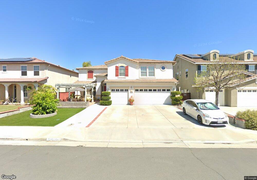
29676 Baker Ln Murrieta, CA 92563
Estimated Value: $772,068 - $802,000
5
Beds
4
Baths
3,453
Sq Ft
$227/Sq Ft
Est. Value
About This Home
This home is located at 29676 Baker Ln, Murrieta, CA 92563 and is currently estimated at $784,517, approximately $227 per square foot. 29676 Baker Ln is a home located in Riverside County with nearby schools including Monte Vista Elementary School, Dorothy McElhinney Middle School, and Vista Murrieta High School.
Ownership History
Date
Name
Owned For
Owner Type
Purchase Details
Closed on
Nov 19, 2001
Sold by
K Hovnanian At Winchester Llc
Bought by
Padilla Armando Armino M and Padilla Dionisia J
Current Estimated Value
Home Financials for this Owner
Home Financials are based on the most recent Mortgage that was taken out on this home.
Original Mortgage
$253,305
Interest Rate
6.84%
Create a Home Valuation Report for This Property
The Home Valuation Report is an in-depth analysis detailing your home's value as well as a comparison with similar homes in the area
Purchase History
| Date | Buyer | Sale Price | Title Company |
|---|---|---|---|
| Padilla Armando Armino M | $281,500 | Lawyers Title |
Source: Public Records
Mortgage History
| Date | Status | Borrower | Loan Amount |
|---|---|---|---|
| Previous Owner | Padilla Armando Armino M | $253,305 |
Source: Public Records
Tax History
| Year | Tax Paid | Tax Assessment Tax Assessment Total Assessment is a certain percentage of the fair market value that is determined by local assessors to be the total taxable value of land and additions on the property. | Land | Improvement |
|---|---|---|---|---|
| 2025 | $4,696 | $421,516 | $118,170 | $303,346 |
| 2023 | $4,696 | $405,150 | $113,582 | $291,568 |
| 2022 | $6,461 | $397,206 | $111,355 | $285,851 |
| 2021 | $6,372 | $389,419 | $109,172 | $280,247 |
| 2020 | $6,327 | $385,427 | $108,053 | $277,374 |
| 2019 | $6,241 | $377,871 | $105,935 | $271,936 |
| 2018 | $6,157 | $370,462 | $103,859 | $266,603 |
| 2017 | $6,097 | $363,199 | $101,823 | $261,376 |
| 2016 | $6,040 | $356,078 | $99,827 | $256,251 |
| 2015 | $5,995 | $350,731 | $98,329 | $252,402 |
| 2014 | $5,802 | $343,861 | $96,403 | $247,458 |
Source: Public Records
Map
Nearby Homes
- 29591 Andromeda St
- 29811 Camden Cir
- 29948 Sycamore Ridge Rd
- 29674 Saint Andrews Ct
- 29648 Pebble Beach Dr
- 37409 Stellarview Ave
- 37779 Quintana Dr
- 37718 Sedona Cir
- 29371 Pebble Beach Dr
- 29366 Oakmont Ct
- 29138 Derby Dr
- 29754 Maxmillian Ave
- 29583 Serenity Ln
- 38190 Camino Cinife
- 29140 Calle Del Buho
- 36790 Diego Springs Ave
- 38369 Augusta Dr
- 36628 Diego Springs Ave
- 38262 Via Oruga
- 36828 Camino Springs Ave
- 29664 Baker Ln
- 29688 Baker Ln
- 29652 Baker Ln
- 29700 Baker Ln
- 29640 Baker Ln
- 29681 Baker Ln
- 29669 Baker Ln
- 29712 Baker Ln
- 29693 Baker Ln
- 29657 Baker Ln
- 29705 Baker Ln
- 29683 Yorkton Rd
- 29671 Yorkton Rd
- 29628 Baker Ln
- 29645 Baker Ln
- 29695 Yorkton Rd
- 29659 Yorkton Rd
- 29707 Yorkton Rd
- 29717 Baker Ln
- 29647 Yorkton Rd
Your Personal Tour Guide
Ask me questions while you tour the home.