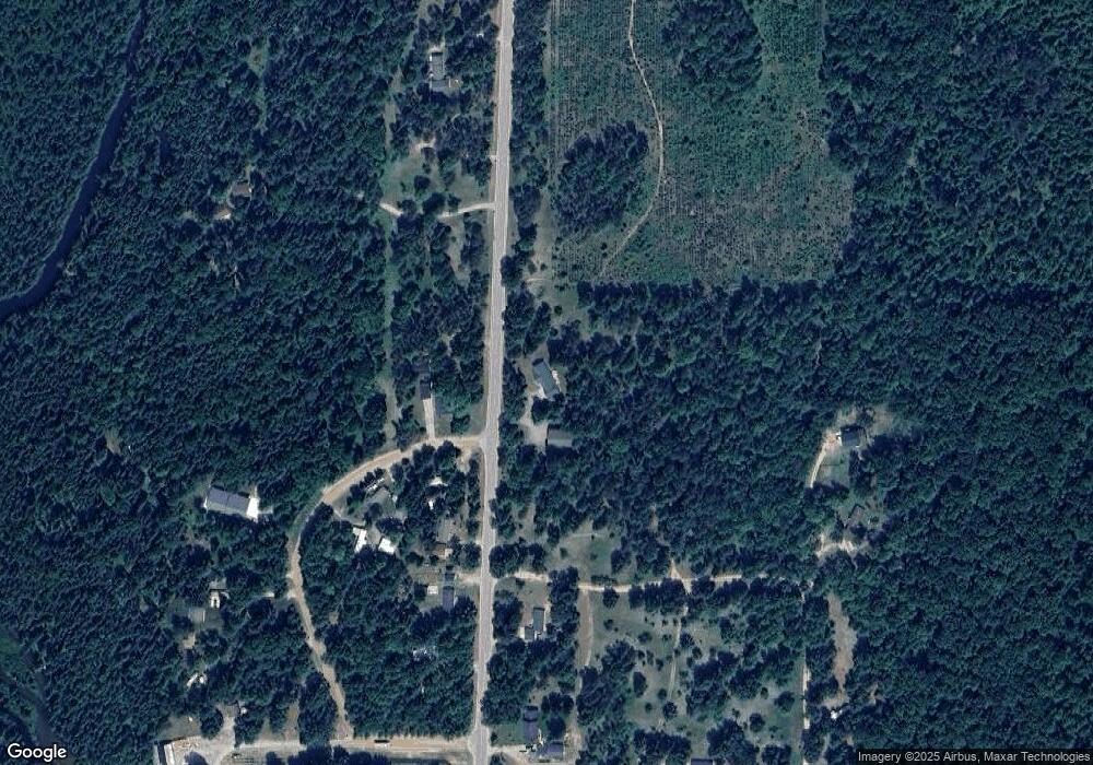
2968 N Manistee River Rd Grayling, MI 49738
Estimated Value: $253,000 - $429,000
--
Bed
--
Bath
1,756
Sq Ft
$195/Sq Ft
Est. Value
About This Home
This home is located at 2968 N Manistee River Rd, Grayling, MI 49738 and is currently estimated at $341,799, approximately $194 per square foot. 2968 N Manistee River Rd is a home located in Crawford County with nearby schools including Grayling Elementary School, Grayling Middle School, and Grayling High School.
Ownership History
Date
Name
Owned For
Owner Type
Purchase Details
Closed on
Jun 20, 2006
Sold by
Anderson Scott and Anderson Barbara A
Bought by
Makowski, William & Betty K. Trust
Current Estimated Value
Purchase Details
Closed on
Jun 3, 2005
Purchase Details
Closed on
Mar 30, 2001
Sold by
Anderson Clifford T and Anderson Lois
Bought by
Anderson Scott and Anderson Barbara A
Purchase Details
Closed on
Feb 1, 1997
Sold by
Anderson Scott and Wf Barbara
Bought by
Anderson Clifford and Wf Lois
Create a Home Valuation Report for This Property
The Home Valuation Report is an in-depth analysis detailing your home's value as well as a comparison with similar homes in the area
Home Values in the Area
Average Home Value in this Area
Purchase History
| Date | Buyer | Sale Price | Title Company |
|---|---|---|---|
| Makowski, William & Betty K. Trust | $16,000 | -- | |
| -- | -- | -- | |
| Anderson Scott | -- | -- | |
| Anderson Clifford | -- | -- | |
| Anderson Clifford T | $8,000 | -- |
Source: Public Records
Tax History Compared to Growth
Tax History
| Year | Tax Paid | Tax Assessment Tax Assessment Total Assessment is a certain percentage of the fair market value that is determined by local assessors to be the total taxable value of land and additions on the property. | Land | Improvement |
|---|---|---|---|---|
| 2025 | $2,393 | $160,400 | $5,600 | $154,800 |
| 2024 | $1,195 | $112,400 | $5,600 | $106,800 |
| 2023 | $1,142 | $106,200 | $5,600 | $100,600 |
| 2022 | $1,088 | $103,900 | $5,600 | $98,300 |
| 2021 | $1,966 | $100,900 | $5,600 | $95,300 |
| 2020 | $1,941 | $109,500 | $5,600 | $103,900 |
| 2019 | $1,455 | $75,400 | $5,600 | $69,800 |
| 2018 | $1,865 | $58,600 | $5,600 | $53,000 |
| 2017 | $1,273 | $66,000 | $5,600 | $60,400 |
| 2016 | $1,455 | $87,100 | $5,600 | $81,500 |
| 2015 | -- | $87,100 | $0 | $0 |
| 2014 | -- | $80,600 | $0 | $0 |
| 2013 | -- | $72,800 | $0 | $0 |
Source: Public Records
Map
Nearby Homes
- 15983 Snay Dr SE
- 15831 Michigan 72
- 15968 W M-72 Hwy
- V/L 6.72A Weaver Rd
- 4787 N Watts Dr
- V/L L18-21 Monroe Ave
- 10032 Washington Ave
- 1243 Euclid Ave
- 1321 Eagle Point Rd
- 277 Wendy Ln
- 9143 N Lake Shore Dr
- 5 Acres Valley Rd
- 14972 Riverview Rd SE
- 6112 Old 27 N
- 000 Ray Ave
- 14628 Club Cir SE
- 6640 Manistee St
- 8530 W Matilda Dr
- 8571 W Cameron Bridge Rd
- 268 Yorke Trail
- 2991 White Pine Dr
- 4160 N White Pine Dr
- 2964 White Pine Dr
- 2889 N Manistee River Rd
- 2863 N Manistee River Rd
- 2870 White Pine Dr
- 0 White Pine Dr
- 2894 White Pine Dr
- O N White Pine Dr
- 2861 White Pine Dr
- 2804 N Manistee River Rd
- 2937 Chipmunk Trail
- 2835 N Manistee River Rd
- 2926 Chipmunk Trail
- 2780 N Manistee River Rd
- 2740 N Manistee River Rd
- 2825 White Pine Dr
- 2835 White Pine Dr
- 2779 N Manistee River Rd
- 1697 N Manistee River Rd
