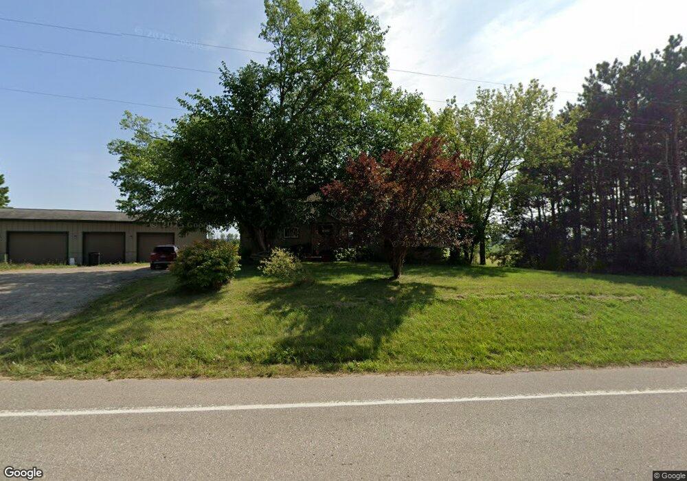
2969 Anthony Rd Pentwater, MI 49449
Estimated Value: $257,000 - $359,000
--
Bed
--
Bath
1,365
Sq Ft
$213/Sq Ft
Est. Value
About This Home
This home is located at 2969 Anthony Rd, Pentwater, MI 49449 and is currently estimated at $290,816, approximately $213 per square foot. 2969 Anthony Rd is a home located in Mason County with nearby schools including Mason County Central Upper Elementary School, Scottville Elementary School, and Mason County Central Middle School.
Ownership History
Date
Name
Owned For
Owner Type
Purchase Details
Closed on
Aug 12, 2014
Sold by
Varenhorst Mark D and Varenhorst Heidi S
Bought by
Bentz Scott
Current Estimated Value
Home Financials for this Owner
Home Financials are based on the most recent Mortgage that was taken out on this home.
Original Mortgage
$84,000
Outstanding Balance
$64,122
Interest Rate
4.14%
Mortgage Type
New Conventional
Estimated Equity
$226,694
Create a Home Valuation Report for This Property
The Home Valuation Report is an in-depth analysis detailing your home's value as well as a comparison with similar homes in the area
Home Values in the Area
Average Home Value in this Area
Purchase History
| Date | Buyer | Sale Price | Title Company |
|---|---|---|---|
| Bentz Scott | $90,000 | None Available |
Source: Public Records
Mortgage History
| Date | Status | Borrower | Loan Amount |
|---|---|---|---|
| Open | Bentz Scott | $84,000 |
Source: Public Records
Tax History Compared to Growth
Tax History
| Year | Tax Paid | Tax Assessment Tax Assessment Total Assessment is a certain percentage of the fair market value that is determined by local assessors to be the total taxable value of land and additions on the property. | Land | Improvement |
|---|---|---|---|---|
| 2025 | $1,631 | $105,800 | $105,800 | $0 |
| 2024 | -- | $110,300 | $110,300 | $0 |
| 2023 | -- | $75,300 | $75,300 | $0 |
| 2022 | -- | $63,900 | $0 | $0 |
| 2021 | -- | $67,600 | $0 | $0 |
| 2020 | -- | -- | $0 | $0 |
| 2019 | -- | -- | $0 | $0 |
| 2018 | -- | -- | $0 | $0 |
| 2017 | -- | -- | $0 | $0 |
| 2016 | -- | -- | $0 | $0 |
| 2015 | -- | -- | $0 | $0 |
| 2013 | -- | -- | $0 | $0 |
Source: Public Records
Map
Nearby Homes
- 5289 S Schwass Rd
- 0 W Waters Edge Dr Unit 10 25037308
- 0 W Waters Edge Dr Unit Lot 1 25043352
- 0 W Waters Edge Dr Unit Lot 2 25043351
- 5766 S Pere Marquette Hwy
- 6193 S Pere Marquette Hwy
- 5641 S Pere Marquette Hwy
- 4629 S Benedict Rd
- LOT B Hogenson
- LOT D Hogenson
- LOT H Hogenson
- LOT F Hogenson
- LOT G Hogenson
- 0 W Marrison Rd Unit 23145180
- LOT I Hogenson
- 8716 N 80th Ave
- 7035 S Harbor Dr
- 0 S Harbor Dr Unit 123
- V/L S Harbor Dr Unit Lot 102
- 6662 Lorne Dr
- 2932 Anthony Rd
- 3124 Anthony Rd
- 5966 S Morton Rd
- 5963 S Morton Rd
- 2708 Anthony Rd
- 6227 Morton Rd
- 6059 Morton Rd
- 3413 W Anthony Rd
- 3413 W Anthony Rd
- 5665 S Morton Rd
- 3473 W Anthony Rd
- 5536 S Morton Rd
- 1425 W Anthony Rd
- 2200 W Anthony Rd
- 1492 W Anthony Rd
- 2124 W Anthony Rd
- 6391 Stiles Rd
- 6014 Stiles Rd
- 6014 Stiles Rd
- 6014 S Stiles Rd