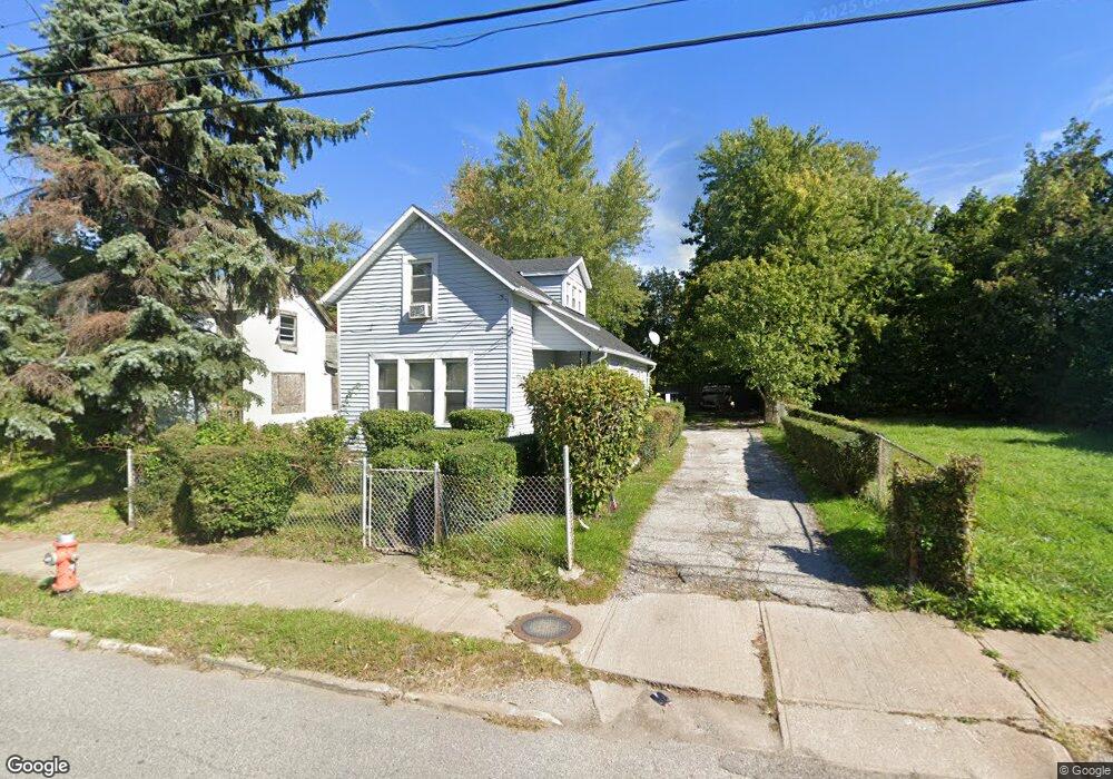
2969 E 79th St Cleveland, OH 44104
Kinsman NeighborhoodEstimated Value: $58,871 - $72,000
3
Beds
1
Bath
993
Sq Ft
$64/Sq Ft
Est. Value
About This Home
This home is located at 2969 E 79th St, Cleveland, OH 44104 and is currently estimated at $63,968, approximately $64 per square foot. 2969 E 79th St is a home located in Cuyahoga County with nearby schools including Anton Grdina School, Bolton, and Andrew J. Rickoff School.
Ownership History
Date
Name
Owned For
Owner Type
Purchase Details
Closed on
Nov 10, 2011
Sold by
Lewis Najeel
Bought by
Luckett Linda
Current Estimated Value
Purchase Details
Closed on
Jun 22, 1993
Sold by
Bram Don
Bought by
Luckett William
Purchase Details
Closed on
Oct 14, 1992
Sold by
Mays James E
Bought by
Bram Don
Purchase Details
Closed on
Nov 25, 1991
Sold by
Phillips Ethel M
Bought by
Mays James E
Purchase Details
Closed on
May 5, 1980
Sold by
Mays Arthur O
Bought by
Phillips Ethel M
Purchase Details
Closed on
Aug 13, 1979
Sold by
Phillips Ethel M
Bought by
Mays Arthur O
Purchase Details
Closed on
Jan 1, 1975
Bought by
Phillips Ethel M
Create a Home Valuation Report for This Property
The Home Valuation Report is an in-depth analysis detailing your home's value as well as a comparison with similar homes in the area
Home Values in the Area
Average Home Value in this Area
Purchase History
| Date | Buyer | Sale Price | Title Company |
|---|---|---|---|
| Luckett Linda | -- | Attorney | |
| Luckett William | $20,000 | -- | |
| Bram Don | $8,000 | -- | |
| Mays James E | $2,000 | -- | |
| Phillips Ethel M | -- | -- | |
| Mays Arthur O | -- | -- | |
| Phillips Ethel M | -- | -- |
Source: Public Records
Tax History Compared to Growth
Tax History
| Year | Tax Paid | Tax Assessment Tax Assessment Total Assessment is a certain percentage of the fair market value that is determined by local assessors to be the total taxable value of land and additions on the property. | Land | Improvement |
|---|---|---|---|---|
| 2024 | $743 | $11,340 | $3,010 | $8,330 |
| 2023 | $290 | $3,820 | $2,520 | $1,300 |
| 2022 | $288 | $3,815 | $2,520 | $1,295 |
| 2021 | $285 | $3,820 | $2,520 | $1,300 |
| 2020 | $300 | $3,470 | $2,280 | $1,190 |
| 2019 | $277 | $9,900 | $6,500 | $3,400 |
| 2018 | $276 | $3,470 | $2,280 | $1,190 |
| 2017 | $306 | $3,710 | $770 | $2,940 |
| 2016 | $304 | $3,710 | $770 | $2,940 |
| 2015 | $462 | $3,710 | $770 | $2,940 |
| 2014 | $462 | $3,710 | $770 | $2,940 |
Source: Public Records
Map
Nearby Homes
- 2932 E 92nd St
- 7011 Colfax Rd
- 2451 E 89th St
- 2954 E 67th St
- 6529 Newman Ave
- 2977 E 66th St
- 6523 Lederer Ave
- 9013 Harris Ave
- 2622 E 75th St
- 9408 Mount Auburn Ave Unit 11
- 9016 Harris Ave
- 9409 Manor Ave Unit 31
- 9422 Dickens Ave
- 3094 E 65th St
- 2558 E 82nd St
- 9617 Mount Auburn Ave
- 9620 Elwell Ave
- 9323 Carton Ave
- 6010 Maurice Ave
- 6802 Morgan Ave
- 2967 E 79th St
- 2965 E 79th St
- 2963 E 79th St
- 7917 Bristol Ave
- 2977 E 79th St
- 2961 E 79th St
- 7913 Bristol Ave
- 8003 Bristol Ave
- 7912 Bristol Ave
- 7918 Bristol Ave
- 2958 E 79th St
- 2958 E 81st St
- 8002 Bristol Ave
- 2944 E 81st St
- 2936 E 79th St
- 2925 E 79th St
- 7808 Colfax Rd
- 2934 E 79th St
- 7806 Colfax Rd
- 2936 E 81st St