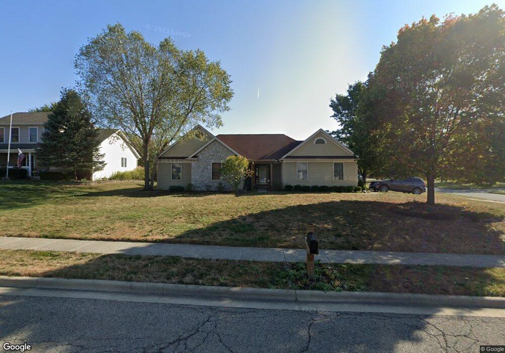
297 Central Station Dr Unit L111 Johnstown, OH 43031
Estimated Value: $422,434 - $453,000
4
Beds
2
Baths
1,800
Sq Ft
$243/Sq Ft
Est. Value
About This Home
This home is located at 297 Central Station Dr Unit L111, Johnstown, OH 43031 and is currently estimated at $438,109, approximately $243 per square foot. 297 Central Station Dr Unit L111 is a home located in Licking County with nearby schools including Johnstown Middle School and Johnstown High School.
Ownership History
Date
Name
Owned For
Owner Type
Purchase Details
Closed on
May 8, 2015
Sold by
Harper Richard Kevin and Harper Bessie A
Bought by
Wood Seth E and Wood Jamie T
Current Estimated Value
Home Financials for this Owner
Home Financials are based on the most recent Mortgage that was taken out on this home.
Original Mortgage
$187,600
Outstanding Balance
$144,205
Interest Rate
3.62%
Mortgage Type
New Conventional
Estimated Equity
$293,904
Purchase Details
Closed on
Jul 11, 2006
Sold by
Henson Terry L and Henson Leslie J
Bought by
The Salyer Co
Purchase Details
Closed on
Sep 4, 2001
Sold by
W R Hatch Builders Inc
Bought by
Harper Bessie A and Harper Richard K
Create a Home Valuation Report for This Property
The Home Valuation Report is an in-depth analysis detailing your home's value as well as a comparison with similar homes in the area
Home Values in the Area
Average Home Value in this Area
Purchase History
| Date | Buyer | Sale Price | Title Company |
|---|---|---|---|
| Wood Seth E | $309,750 | Ohio Title | |
| The Salyer Co | $330,000 | Ohio Tit | |
| Harper Bessie A | $174,000 | -- |
Source: Public Records
Mortgage History
| Date | Status | Borrower | Loan Amount |
|---|---|---|---|
| Open | Wood Seth E | $187,600 |
Source: Public Records
Tax History Compared to Growth
Tax History
| Year | Tax Paid | Tax Assessment Tax Assessment Total Assessment is a certain percentage of the fair market value that is determined by local assessors to be the total taxable value of land and additions on the property. | Land | Improvement |
|---|---|---|---|---|
| 2024 | $4,523 | $108,370 | $26,920 | $81,450 |
| 2023 | $4,558 | $108,370 | $26,920 | $81,450 |
| 2022 | $3,837 | $85,830 | $22,230 | $63,600 |
| 2021 | $4,013 | $85,830 | $22,230 | $63,600 |
| 2020 | $4,058 | $85,830 | $22,230 | $63,600 |
| 2019 | $3,819 | $74,270 | $16,450 | $57,820 |
| 2018 | $3,843 | $0 | $0 | $0 |
| 2017 | $3,594 | $0 | $0 | $0 |
| 2016 | $3,290 | $0 | $0 | $0 |
| 2015 | $3,347 | $0 | $0 | $0 |
| 2014 | $4,474 | $0 | $0 | $0 |
| 2013 | $2,973 | $0 | $0 | $0 |
Source: Public Records
Map
Nearby Homes
- 557 Cannondale Ave
- 676 Norfolk Ct Unit 35
- 288 Village Dr Unit 45
- 324 Bottecchia Blvd
- 332 Bottecchia Blvd
- 309 Middleburn St
- 313 Middleburn St
- 165 W Jersey St
- 93 W College Ave
- 137 S Oregon St
- 163 Valleyview Dr
- 369 Hillview Dr
- 00- Johnstown Utica Rd
- Rte 62 Johnstown Utica Rd
- 199 Sunset Dr S
- 216 N Main St
- 111 Edwards Rd
- 65 Benedict Dr
- 359 Buena Vista Dr
- 8633 Concord Rd
- 297 Central Station Dr
- 299 Central Station Dr
- 299 Central Station Dr Unit L112
- 79 Central Station Dr
- 97 Crossing Place
- 295 Central Station Dr
- 301 Central Station Dr
- 301 Central Station Dr
- 211 Redwood Dr
- 292 Central Station Dr
- 294 Central Station Dr
- 292 Central Station Dr
- 265 Concord Crossing Dr
- 93 Crossing Place
- 290 Central Station Dr
- 277 Concord Crossing Dr
- 303 Central Station Dr
- 303 Central Station Dr
- 293 Central Station Dr