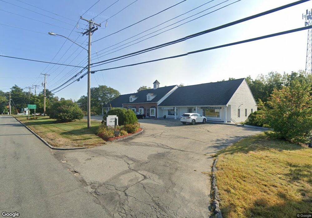
297 Daniel Webster Hwy Merrimack, NH 03054
Estimated Value: $2,708,757
--
Bed
2
Baths
11,774
Sq Ft
$230/Sq Ft
Est. Value
About This Home
This home is located at 297 Daniel Webster Hwy, Merrimack, NH 03054 and is currently estimated at $2,708,757, approximately $230 per square foot. 297 Daniel Webster Hwy is a home located in Hillsborough County with nearby schools including Thorntons Ferry School, James Mastricola Upper Elementary School, and Merrimack Middle School.
Ownership History
Date
Name
Owned For
Owner Type
Purchase Details
Closed on
Oct 31, 2016
Sold by
Peerless Properties Ll
Bought by
Christopher Properties
Current Estimated Value
Home Financials for this Owner
Home Financials are based on the most recent Mortgage that was taken out on this home.
Original Mortgage
$1,012,000
Outstanding Balance
$814,504
Interest Rate
3.5%
Mortgage Type
Commercial
Estimated Equity
$1,894,253
Purchase Details
Closed on
Jan 31, 2011
Sold by
Rlj Properties Llc
Bought by
Peerless Properties Ll
Home Financials for this Owner
Home Financials are based on the most recent Mortgage that was taken out on this home.
Original Mortgage
$590,000
Interest Rate
4.83%
Mortgage Type
Commercial
Create a Home Valuation Report for This Property
The Home Valuation Report is an in-depth analysis detailing your home's value as well as a comparison with similar homes in the area
Home Values in the Area
Average Home Value in this Area
Purchase History
| Date | Buyer | Sale Price | Title Company |
|---|---|---|---|
| Christopher Properties | $1,265,000 | -- | |
| Peerless Properties Ll | $660,000 | -- |
Source: Public Records
Mortgage History
| Date | Status | Borrower | Loan Amount |
|---|---|---|---|
| Open | Christopher Properties | $1,012,000 | |
| Previous Owner | Peerless Properties Ll | $590,000 | |
| Previous Owner | Peerless Properties Ll | $594,054 | |
| Previous Owner | Peerless Properties Ll | $615,000 |
Source: Public Records
Tax History Compared to Growth
Tax History
| Year | Tax Paid | Tax Assessment Tax Assessment Total Assessment is a certain percentage of the fair market value that is determined by local assessors to be the total taxable value of land and additions on the property. | Land | Improvement |
|---|---|---|---|---|
| 2024 | $27,154 | $1,312,400 | $463,500 | $848,900 |
| 2023 | $24,820 | $1,276,100 | $463,500 | $812,600 |
| 2022 | $25,627 | $1,474,500 | $463,500 | $1,011,000 |
| 2021 | $25,214 | $1,468,500 | $463,500 | $1,005,000 |
| 2020 | $27,084 | $1,125,700 | $327,000 | $798,700 |
| 2019 | $27,163 | $1,125,700 | $327,000 | $798,700 |
| 2018 | $27,152 | $1,125,700 | $327,000 | $798,700 |
| 2017 | $26,308 | $1,125,700 | $327,000 | $798,700 |
| 2016 | $22,530 | $988,600 | $327,000 | $661,600 |
| 2015 | $18,436 | $745,800 | $325,800 | $420,000 |
| 2014 | $17,966 | $745,800 | $325,800 | $420,000 |
| 2013 | $17,832 | $745,800 | $325,800 | $420,000 |
Source: Public Records
Map
Nearby Homes
- 5 Jennifer Dr Unit B
- 5 Jennifer Dr
- 5 Jennifer Dr Unit A
- 14 Turnbuckle Ln Unit 38
- 1 Longwood Ln
- 23 Pondview Dr
- 23 Colonial Dr
- 5 Lynn Dr
- 343 Charles Bancroft Hwy
- 35 Windsor Dr Unit 5
- 30 Windsor Dr Unit 9
- 7 Hadley Rd
- 27 Sarah Dr
- 5 Talent Rd Unit 29-2
- 7 Talent Rd Unit 7/29-2
- 9 Cambridge Dr
- 8 Highland Green Ln
- 9 Tallarico St Unit Lot 4
- 1 Cobbler Ct
- 40 Turkey Hill Rd
- 8 Jennifer Dr
- 6 Caron St Unit 75
- 301 Dw Hwy
- 4 Caron St
- 287 Daniel Webster Hwy
- 6 Jennifer Dr
- 4 Jennifer Dr
- 2 Sentry Way Unit 2B
- 5 Caron St
- 2 Jennifer Dr
- 3 Jennifer Dr
- 74 Crown Pointe
- 118 Herrick St
- 76 Crown Point Cir Unit 76
- 3 Mound Ct Unit 4
- 3 Mound Ct Unit 1
- 3 Mound Ct Unit 2
- 78 Crown Point Cir Unit 78
- 119 Herrick St
- 22 Greeley St Unit 1