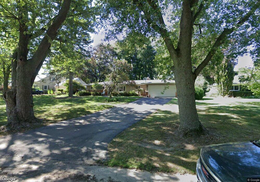
297 Marlborough Dr Bloomfield Hills, MI 48302
Estimated Value: $333,000 - $381,000
2
Beds
2
Baths
1,458
Sq Ft
$237/Sq Ft
Est. Value
About This Home
This home is located at 297 Marlborough Dr, Bloomfield Hills, MI 48302 and is currently estimated at $345,630, approximately $237 per square foot. 297 Marlborough Dr is a home located in Oakland County with nearby schools including Eastover Elementary School, Bloomfield Hills High School, and Arts & Technology Academy of Pontiac.
Ownership History
Date
Name
Owned For
Owner Type
Purchase Details
Closed on
Dec 3, 2021
Sold by
Robinson Robert W
Bought by
Robert W Robinson Revocable Trust
Current Estimated Value
Purchase Details
Closed on
May 28, 2008
Sold by
Robertson Robert and Robinson Robert W
Bought by
Robinson Robert W and The Robert W Robinson Revocable Trust
Purchase Details
Closed on
Sep 24, 2007
Sold by
Robinson David C and Smith Marilynn J
Bought by
Robinson Robert
Home Financials for this Owner
Home Financials are based on the most recent Mortgage that was taken out on this home.
Original Mortgage
$114,000
Interest Rate
6.55%
Mortgage Type
Purchase Money Mortgage
Create a Home Valuation Report for This Property
The Home Valuation Report is an in-depth analysis detailing your home's value as well as a comparison with similar homes in the area
Home Values in the Area
Average Home Value in this Area
Purchase History
| Date | Buyer | Sale Price | Title Company |
|---|---|---|---|
| Robert W Robinson Revocable Trust | -- | None Listed On Document | |
| Robinson Robert W | -- | None Listed On Document | |
| Robinson Robert W | -- | None Available | |
| Robinson Robert | -- | Title One Inc |
Source: Public Records
Mortgage History
| Date | Status | Borrower | Loan Amount |
|---|---|---|---|
| Previous Owner | Robinson Robert | $114,000 |
Source: Public Records
Tax History Compared to Growth
Tax History
| Year | Tax Paid | Tax Assessment Tax Assessment Total Assessment is a certain percentage of the fair market value that is determined by local assessors to be the total taxable value of land and additions on the property. | Land | Improvement |
|---|---|---|---|---|
| 2024 | $1,290 | $145,020 | $0 | $0 |
| 2023 | $1,248 | $130,540 | $0 | $0 |
| 2022 | $2,346 | $118,470 | $0 | $0 |
| 2021 | $2,330 | $110,900 | $0 | $0 |
| 2020 | $1,142 | $104,920 | $0 | $0 |
| 2019 | $2,192 | $97,340 | $0 | $0 |
| 2018 | $2,202 | $92,270 | $0 | $0 |
| 2017 | $2,187 | $89,560 | $0 | $0 |
| 2016 | $2,191 | $84,630 | $0 | $0 |
| 2015 | -- | $76,520 | $0 | $0 |
| 2014 | -- | $60,150 | $0 | $0 |
| 2011 | -- | $56,270 | $0 | $0 |
Source: Public Records
Map
Nearby Homes
- 95 Hillsdale Rd
- 2449 Mulberry Square Unit 31
- 2383 Mulberry Square Unit 72
- 2449 Mulberry Square Unit 28
- 2442 Mulberry Square Unit 36
- 00 S Berkshire
- 2665 Lahser Rd
- 136 Belroi Place
- 42160 Woodward Ave Unit 8
- 42160 Woodward Ave
- 240 Applewood Ln
- 2625 Plum Brook Dr
- 454 N Fox Hills Dr Unit A-8
- 480 Fox Hills Dr N Unit 6
- 448 Fox Hills Dr S Unit 3
- 433 Fox Hills Dr S Unit 5
- 2724 Alveston Dr
- 1987 Hunters Ridge Dr
- 363 Sycamore Ct
- 112 E Hickory Grove Rd Unit 26
- 275 Marlborough Dr
- 309 Marlborough Dr
- 265 Marlborough Dr
- 333 Marlborough Dr
- 261 Marlborough Dr
- 2251 Lancaster Rd
- 2241 Lancaster Rd
- 290 Marlborough Dr
- 2263 Lancaster Rd
- 302 Marlborough Dr
- 316 Marlborough Dr
- 2231 Lancaster Rd
- 2275 Lancaster Rd
- 237 Marlborough Dr Unit Bldg-Unit
- 237 Marlborough Dr
- 351 Marlborough Dr
- 328 Marlborough Dr
- 2221 Lancaster Rd
- 2241 Bedford Rd
- 2281 Lancaster Rd