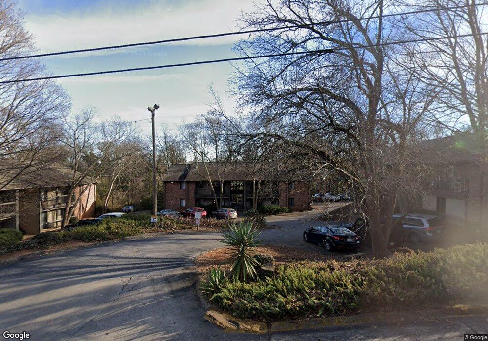
297 Peabody St Athens, GA 30605
Midtown-Bloomfield NeighborhoodEstimated Value: $210,000 - $312,000
--
Bed
1
Bath
618
Sq Ft
$403/Sq Ft
Est. Value
About This Home
This home is located at 297 Peabody St, Athens, GA 30605 and is currently estimated at $249,234, approximately $403 per square foot. 297 Peabody St is a home located in Clarke County with nearby schools including Barrow Elementary School, Clarke Middle School, and Clarke Central High School.
Ownership History
Date
Name
Owned For
Owner Type
Purchase Details
Closed on
Mar 17, 2020
Sold by
Athens Equities Llc
Bought by
Cherry Tree Properties Llc
Current Estimated Value
Home Financials for this Owner
Home Financials are based on the most recent Mortgage that was taken out on this home.
Original Mortgage
$206,250
Interest Rate
3.4%
Mortgage Type
New Conventional
Purchase Details
Closed on
Jun 30, 2015
Sold by
Kroese Fam Trust
Bought by
Athens Equities Llc
Home Financials for this Owner
Home Financials are based on the most recent Mortgage that was taken out on this home.
Original Mortgage
$61,533
Interest Rate
3.92%
Mortgage Type
New Conventional
Purchase Details
Closed on
Sep 18, 2012
Sold by
Kroese Judith M
Bought by
Kroese Fam Trust
Purchase Details
Closed on
May 31, 1994
Sold by
Altera Frank A
Bought by
Kroese Judith M and Dick Kroese
Create a Home Valuation Report for This Property
The Home Valuation Report is an in-depth analysis detailing your home's value as well as a comparison with similar homes in the area
Home Values in the Area
Average Home Value in this Area
Purchase History
| Date | Buyer | Sale Price | Title Company |
|---|---|---|---|
| Cherry Tree Properties Llc | $275,000 | -- | |
| Athens Equities Llc | $72,000 | -- | |
| Kroese Fam Trust | -- | -- | |
| Kroese Judith M | $34,200 | -- |
Source: Public Records
Mortgage History
| Date | Status | Borrower | Loan Amount |
|---|---|---|---|
| Closed | Cherry Tree Properties Llc | $206,250 | |
| Previous Owner | Athens Equities Llc | $61,533 |
Source: Public Records
Tax History Compared to Growth
Tax History
| Year | Tax Paid | Tax Assessment Tax Assessment Total Assessment is a certain percentage of the fair market value that is determined by local assessors to be the total taxable value of land and additions on the property. | Land | Improvement |
|---|---|---|---|---|
| 2025 | $2,171 | $69,912 | $12,000 | $57,912 |
| 2024 | $2,171 | $59,978 | $12,000 | $47,978 |
| 2023 | $1,874 | $57,468 | $12,000 | $45,468 |
| 2022 | $1,489 | $46,662 | $10,400 | $36,262 |
| 2021 | $1,236 | $37,298 | $9,600 | $27,698 |
| 2020 | $1,257 | $37,298 | $9,600 | $27,698 |
| 2019 | $1,165 | $34,301 | $9,600 | $24,701 |
| 2018 | $989 | $29,118 | $9,600 | $19,518 |
| 2017 | $980 | $28,875 | $9,600 | $19,275 |
| 2016 | $978 | $28,875 | $9,600 | $19,275 |
| 2015 | $982 | $28,875 | $9,600 | $19,275 |
| 2014 | -- | $28,875 | $9,600 | $19,275 |
Source: Public Records
Map
Nearby Homes
- 255 Bloomfield St
- 494 Baxter St Unit 32
- 50 Springdale St
- 365 S Church St Unit 1A, 1B, 1C
- 265 Springdale St
- 500 Dearing St Unit 6
- 338 Springdale St
- 597 Dearing St
- 997 S Milledge Ave Unit 2
- 997 S Milledge Ave Unit 3
- 997 S Milledge Ave Unit 1
- 997 S Milledge Ave Unit 4
- 1226 W Broad St
- 1055 Baxter St Unit 504
- 577 W Cloverhurst Ave
- 250 W Broad St Unit 811
- 250 W Broad St Unit 521
- 250 W Broad St Unit 408
- 250 W Broad St Unit 615
- 495 Woodlawn Ave
- 297 Peabody St Unit 2
- 297 Peabody St
- 297 Peabody St
- 297 Peabody St
- 297 Peabody St
- 297 Peabody St
- 297 Peabody St
- 297 Peabody St
- 297 Peabody St
- 297 Peabody St
- 297 Peabody St
- 297 Peabody St
- 297 Peabody St
- 297 Peabody St
- 297 Peabody St
- 297 Peabody St
- 297 Peabody St
- 297 Peabody St
- 297 Peabody St
- 297 Peabody St