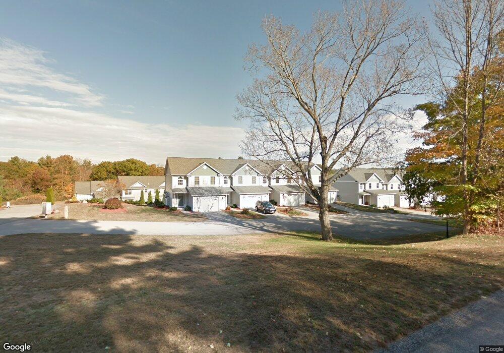
297 Sabin St Unit 11 Putnam, CT 06260
Estimated Value: $357,000 - $391,000
2
Beds
2
Baths
1,486
Sq Ft
$250/Sq Ft
Est. Value
About This Home
This home is located at 297 Sabin St Unit 11, Putnam, CT 06260 and is currently estimated at $371,545, approximately $250 per square foot. 297 Sabin St Unit 11 is a home located in Windham County with nearby schools including Putnam Elementary School, Putnam Middle School, and Putnam High School.
Ownership History
Date
Name
Owned For
Owner Type
Purchase Details
Closed on
Aug 31, 2009
Sold by
Simoneau Amanda L
Bought by
Maynard Brian D
Current Estimated Value
Home Financials for this Owner
Home Financials are based on the most recent Mortgage that was taken out on this home.
Original Mortgage
$181,649
Interest Rate
5.17%
Create a Home Valuation Report for This Property
The Home Valuation Report is an in-depth analysis detailing your home's value as well as a comparison with similar homes in the area
Home Values in the Area
Average Home Value in this Area
Purchase History
| Date | Buyer | Sale Price | Title Company |
|---|---|---|---|
| Maynard Brian D | $185,000 | -- |
Source: Public Records
Mortgage History
| Date | Status | Borrower | Loan Amount |
|---|---|---|---|
| Open | Maynard Brian D | $162,087 | |
| Closed | Maynard Brian D | $181,649 | |
| Previous Owner | Maynard Brian D | $30,000 |
Source: Public Records
Tax History Compared to Growth
Tax History
| Year | Tax Paid | Tax Assessment Tax Assessment Total Assessment is a certain percentage of the fair market value that is determined by local assessors to be the total taxable value of land and additions on the property. | Land | Improvement |
|---|---|---|---|---|
| 2025 | $5,628 | $222,000 | $0 | $222,000 |
| 2024 | $6,539 | $197,300 | $0 | $197,300 |
| 2023 | $4,193 | $131,900 | $0 | $131,900 |
| 2022 | $4,048 | $131,900 | $0 | $131,900 |
| 2021 | $3,936 | $131,900 | $0 | $131,900 |
| 2020 | $3,936 | $131,900 | $0 | $131,900 |
| 2019 | $3,565 | $112,600 | $0 | $112,600 |
| 2018 | $3,428 | $112,600 | $0 | $112,600 |
| 2017 | $3,310 | $112,600 | $0 | $112,600 |
| 2016 | $2,977 | $112,600 | $0 | $112,600 |
| 2015 | $2,907 | $112,600 | $0 | $112,600 |
| 2014 | $3,323 | $141,600 | $0 | $141,600 |
Source: Public Records
Map
Nearby Homes
- 257 Sabin St Unit 23
- 5 Woodstock Hills Dr
- 15 Maynard St
- 130 Tripp Rd
- 109 Battey St
- 20 Harrissville Rd
- 50 Richmond Rd Unit 19
- 6 Harrisville Rd
- 117 Woodside St
- 252 Church St
- 171 Providence St
- 12 Battey St
- 224 Pomfret St
- 53 Cleveland St
- 219 Pomfret St
- 171 David Cir
- 24 David Cir
- 16 Wilkinson St
- 0 Church St
- 29 Prospect St Unit A
- 297 Sabin St Unit 35
- 297 Sabin St Unit 36
- 297 Sabin St Unit 34
- 297 Sabin St Unit 33
- 297 Sabin St Unit 31
- 297 Sabin St Unit 30
- 297 Sabin St Unit 29
- 297 Sabin St Unit 9
- 297 Sabin St Unit 28
- 297 Sabin St Unit 17
- 297 Sabin St Unit 3
- 297 Sabin St Unit 22
- 297 Sabin St Unit 27
- 297 Sabin St Unit 23
- 297 Sabin St Unit 24
- 297 Sabin St Unit 26
- 297 Sabin St Unit 18
- 297 Sabin St Unit 10
- 297 Sabin St Unit 25
- 297 Sabin St Unit 20