297 Shore Dr N Bristol, NH 03222
Estimated Value: $898,000 - $2,836,000
3
Beds
3
Baths
1,203
Sq Ft
$1,627/Sq Ft
Est. Value
About This Home
This home is located at 297 Shore Dr N, Bristol, NH 03222 and is currently estimated at $1,957,487, approximately $1,627 per square foot. 297 Shore Dr N is a home with nearby schools including Bridgewater-Hebron Village School.
Create a Home Valuation Report for This Property
The Home Valuation Report is an in-depth analysis detailing your home's value as well as a comparison with similar homes in the area
Home Values in the Area
Average Home Value in this Area
Tax History Compared to Growth
Tax History
| Year | Tax Paid | Tax Assessment Tax Assessment Total Assessment is a certain percentage of the fair market value that is determined by local assessors to be the total taxable value of land and additions on the property. | Land | Improvement |
|---|---|---|---|---|
| 2024 | $16,277 | $3,014,300 | $2,613,900 | $400,400 |
| 2023 | $11,553 | $1,433,400 | $1,212,900 | $220,500 |
| 2022 | $11,840 | $1,433,400 | $1,212,900 | $220,500 |
| 2021 | $11,854 | $1,433,400 | $1,212,900 | $220,500 |
| 2020 | $12,012 | $1,433,400 | $1,212,900 | $220,500 |
| 2019 | $9,494 | $972,700 | $802,400 | $170,300 |
| 2018 | $9,221 | $972,700 | $802,400 | $170,300 |
| 2017 | $9,357 | $972,700 | $802,400 | $170,300 |
| 2016 | $9,173 | $972,700 | $802,400 | $170,300 |
| 2015 | $8,584 | $882,200 | $712,500 | $169,700 |
| 2014 | $8,231 | $882,200 | $712,500 | $169,700 |
Source: Public Records
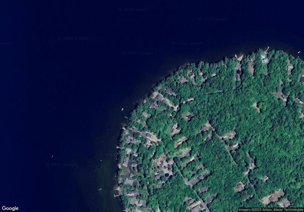
Map
Nearby Homes
- 275 Shore Dr N
- 29 Pasquaney Ln Unit 10
- 199 Cottage City Rd
- 497 W Shore Rd
- 988 W Shore Rd
- 25 S Face Rd Unit A
- 383 Wulamat Rd
- 711 W Shore Rd
- 326 Wulamat Rd
- 400 Wulamat Rd
- 420 Wulamat Rd
- 00 Ledgewood Cir
- 29 Mollie Rd
- 17 Village Dr W Unit 11
- 50 Browns Beach Rd
- 45 Grandview Dr Unit 3
- 35 Manor Estates Dr Unit 14
- 151 Brock Hill Rd
- 26 Don Gerry Rd
- Lot 26 Skyline Dr