297 W Forest Lake Rd Bethlehem, NH 03574
Estimated Value: $469,000 - $541,965
3
Beds
2
Baths
1,575
Sq Ft
$318/Sq Ft
Est. Value
About This Home
This home is located at 297 W Forest Lake Rd, Bethlehem, NH 03574 and is currently estimated at $500,741, approximately $317 per square foot. 297 W Forest Lake Rd is a home located in Grafton County with nearby schools including Bethlehem Elementary School, Profile Junior High School, and Profile Senior High School.
Ownership History
Date
Name
Owned For
Owner Type
Purchase Details
Closed on
Nov 20, 2007
Sold by
Marcotte Robert D and Marcotte Susan K
Bought by
Smith Michael and Smith Pamela
Current Estimated Value
Home Financials for this Owner
Home Financials are based on the most recent Mortgage that was taken out on this home.
Original Mortgage
$176,250
Outstanding Balance
$111,688
Interest Rate
6.41%
Mortgage Type
Purchase Money Mortgage
Estimated Equity
$389,053
Create a Home Valuation Report for This Property
The Home Valuation Report is an in-depth analysis detailing your home's value as well as a comparison with similar homes in the area
Home Values in the Area
Average Home Value in this Area
Purchase History
| Date | Buyer | Sale Price | Title Company |
|---|---|---|---|
| Smith Michael | $235,000 | -- |
Source: Public Records
Mortgage History
| Date | Status | Borrower | Loan Amount |
|---|---|---|---|
| Open | Smith Michael | $176,250 |
Source: Public Records
Tax History Compared to Growth
Tax History
| Year | Tax Paid | Tax Assessment Tax Assessment Total Assessment is a certain percentage of the fair market value that is determined by local assessors to be the total taxable value of land and additions on the property. | Land | Improvement |
|---|---|---|---|---|
| 2024 | $6,865 | $399,600 | $56,000 | $343,600 |
| 2023 | $6,166 | $399,600 | $56,000 | $343,600 |
| 2022 | $6,524 | $273,100 | $24,500 | $248,600 |
| 2021 | $6,264 | $252,700 | $24,500 | $228,200 |
| 2020 | $13 | $252,700 | $24,500 | $228,200 |
| 2019 | $1,251 | $252,700 | $24,500 | $228,200 |
| 2018 | $6,563 | $252,700 | $24,500 | $228,200 |
| 2017 | $14 | $237,900 | $28,400 | $209,500 |
| 2016 | $6,533 | $237,900 | $28,400 | $209,500 |
| 2015 | $7,047 | $237,900 | $28,400 | $209,500 |
| 2013 | $6,718 | $235,300 | $28,400 | $206,900 |
Source: Public Records
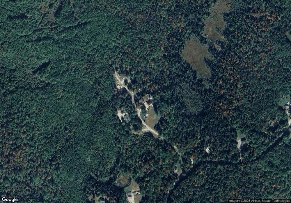
Map
Nearby Homes
- 0 Thorn Hill Rd Unit 22 5063258
- 61 Thorn Hill Rd
- 78 Hazen Rd
- 686 Wing Rd
- 125 Parker Rd
- 0 Evergreen Dr
- 0 Sugar Wood Ln Unit 8
- 16 3rd St
- 15 Okane Ave
- 14 Reid Cir
- 757 Maple St
- Lot 90 Faraway Rd
- 134 Samson Rd
- 00 Swazey Ln Unit 14
- 42 Maple St
- O Main St
- 28 Gould Rd
- 14 Hilltop Manor Mobile Home Park
- 2254 Main St
- 00 Moose Trail Rd Unit 560000
- 293 W Forest Lake Rd
- 510 Westside Rd
- 517 Westside Rd
- 504 Westside Rd
- 516 W Side Rd
- 578 Westside Rd
- 568 Westside Rd
- 522 Westside Rd
- 291 W Forest Lake Rd
- 540 Westside Rd
- 406-003 W Forest Lake Rd
- 203 W Forest Lake Rd
- 535 Westside Rd
- 549 W Side Rd
- 663 W Side Rd
- 509 Westside Rd
- 549 Westside Rd
- 529 Westside Rd
- 516 W Forest Lake Rd
- 210 W Forest Lake Rd