2970 61st Street Ln Vinton, IA 52349
Estimated Value: $464,000 - $680,052
5
Beds
4
Baths
1,774
Sq Ft
$303/Sq Ft
Est. Value
About This Home
This home is located at 2970 61st Street Ln, Vinton, IA 52349 and is currently estimated at $537,017, approximately $302 per square foot. 2970 61st Street Ln is a home with nearby schools including Shellsburg Elementary School, Tilford Elementary School, and Vinton-Shellsburg Middle School.
Ownership History
Date
Name
Owned For
Owner Type
Purchase Details
Closed on
Jul 30, 2018
Sold by
Raue Michael and Raue Shirley
Bought by
Hedrick David M and Hedrick Sandra S
Current Estimated Value
Home Financials for this Owner
Home Financials are based on the most recent Mortgage that was taken out on this home.
Original Mortgage
$273,000
Outstanding Balance
$236,595
Interest Rate
4.5%
Mortgage Type
New Conventional
Estimated Equity
$300,422
Create a Home Valuation Report for This Property
The Home Valuation Report is an in-depth analysis detailing your home's value as well as a comparison with similar homes in the area
Home Values in the Area
Average Home Value in this Area
Purchase History
| Date | Buyer | Sale Price | Title Company |
|---|---|---|---|
| Hedrick David M | $53,000 | -- |
Source: Public Records
Mortgage History
| Date | Status | Borrower | Loan Amount |
|---|---|---|---|
| Open | Hedrick David M | $273,000 |
Source: Public Records
Tax History Compared to Growth
Tax History
| Year | Tax Paid | Tax Assessment Tax Assessment Total Assessment is a certain percentage of the fair market value that is determined by local assessors to be the total taxable value of land and additions on the property. | Land | Improvement |
|---|---|---|---|---|
| 2025 | $7,722 | $625,900 | $97,600 | $528,300 |
| 2024 | $7,722 | $587,700 | $90,700 | $497,000 |
| 2023 | $5,652 | $587,700 | $90,700 | $497,000 |
| 2022 | $5,584 | $374,400 | $72,600 | $301,800 |
| 2021 | $5,584 | $374,400 | $72,600 | $301,800 |
| 2020 | $2,428 | $351,600 | $53,000 | $298,600 |
| 2019 | $100 | $167,100 | $53,000 | $114,100 |
| 2018 | $92 | $153,600 | $47,700 | $105,900 |
| 2017 | $92 | $7,200 | $7,200 | $0 |
| 2016 | $96 | $8,700 | $8,700 | $0 |
| 2015 | $96 | $8,700 | $8,700 | $0 |
| 2014 | $90 | $8,600 | $0 | $0 |
Source: Public Records
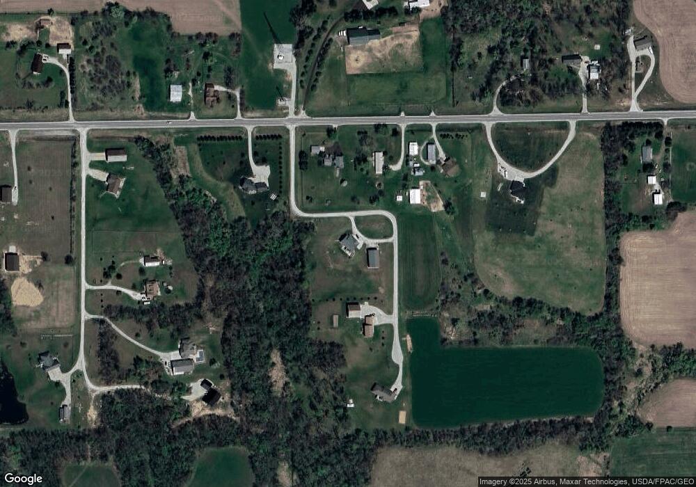
Map
Nearby Homes
- 2767 61st Street Trail
- 6059 28th Avenue Dr
- 6119 28th Avenue Dr
- 2866 60th St
- 3090 59th Saint Trail
- 5995 32nd Ave
- 2740 61st Street Ln
- 2713 61st Street Ln
- 101 Meadow Dr
- 103 Meadow Dr
- 105 Meadow Dr
- 6127 32nd Ave Unit Lot 3
- 804 Fairway Dr
- 700 Sunset Blvd
- 404 Main St NW
- 205 Grove St NW
- 6240 33rd Avenue Dr
- 3299 58th Street Dr
- 2576 58th Street Ln
- 0 14th Avenue & 15th St
- 2974 61st Street Ln
- 2978 61st Street Ln
- 2980 61st Street Ln
- 2966 61st Street Ln
- 2972 61st Street Ln
- 2976 61st Street Ln
- 2960 61st Street Ln
- 2958 61st Street Ln
- 2991 61st Street Ln
- 2971 61st Street Ln
- 2961 61st Street Ln
- 2956 61st Street Ln
- 2977 61st Street Ln
- 2995 61st Street Ln
- 2962 61st Street Ln
- 2998 61st Street Ln
- 2959 61st Street Ln
- 2954 61st Street Ln
- 2952 61st Street Ln
- 3141 61st Street Ln