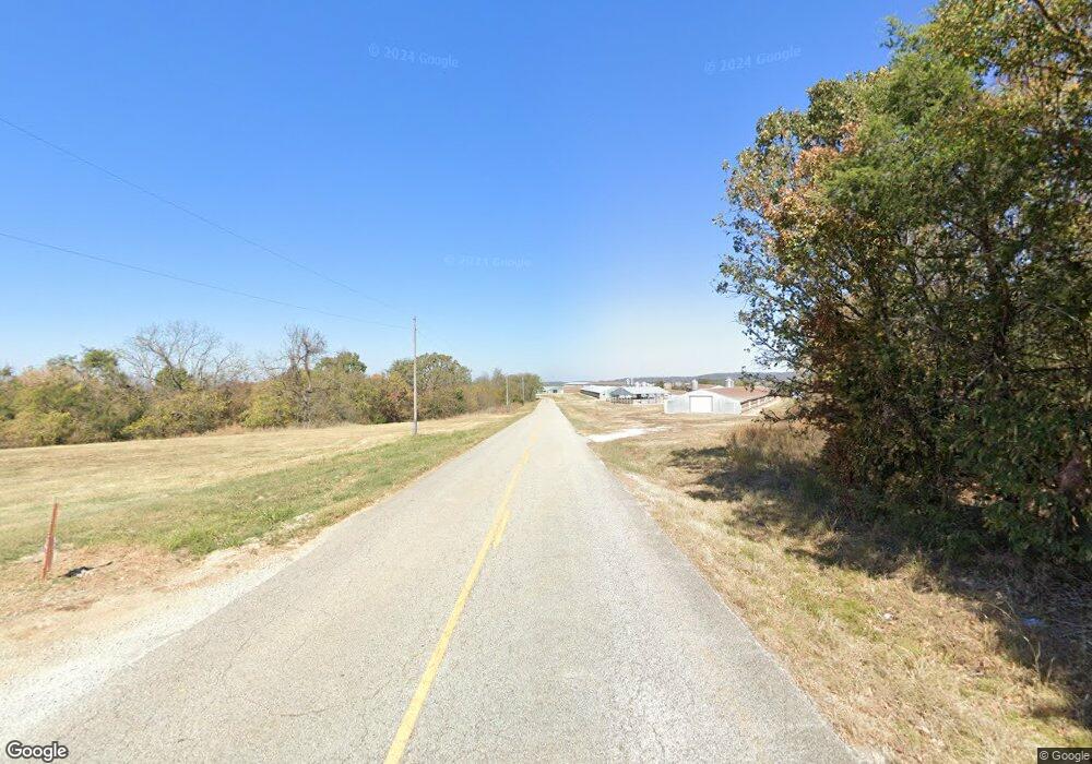
2970 Cr 811 (Denver Road) Green Forest, AR 72638
Estimated Value: $269,000 - $406,000
3
Beds
2
Baths
2,176
Sq Ft
$159/Sq Ft
Est. Value
About This Home
This home is located at 2970 Cr 811 (Denver Road), Green Forest, AR 72638 and is currently estimated at $345,238, approximately $158 per square foot. 2970 Cr 811 (Denver Road) is a home located in Carroll County with nearby schools including Alpena Elementary School and Alpena High School.
Ownership History
Date
Name
Owned For
Owner Type
Purchase Details
Closed on
Jun 6, 2023
Sold by
Dunlap Richard Frank and Jimma Lyene
Bought by
Dunlap Richard Frank and Dunlap Jimma Lyene
Current Estimated Value
Purchase Details
Closed on
Jul 17, 2019
Sold by
Brandt Aric W and Brandt Toni S
Bought by
Lyene Dunlap Richard Frank and Lyene Dunlap Jimma
Home Financials for this Owner
Home Financials are based on the most recent Mortgage that was taken out on this home.
Original Mortgage
$189,740
Interest Rate
3.82%
Mortgage Type
New Conventional
Purchase Details
Closed on
Apr 1, 2002
Sold by
Mahoney
Bought by
Heimer
Create a Home Valuation Report for This Property
The Home Valuation Report is an in-depth analysis detailing your home's value as well as a comparison with similar homes in the area
Home Values in the Area
Average Home Value in this Area
Purchase History
| Date | Buyer | Sale Price | Title Company |
|---|---|---|---|
| Dunlap Richard Frank | -- | None Listed On Document | |
| Lyene Dunlap Richard Frank | $185,000 | Kings River Title | |
| Heimer | -- | -- |
Source: Public Records
Mortgage History
| Date | Status | Borrower | Loan Amount |
|---|---|---|---|
| Previous Owner | Lyene Dunlap Richard Frank | $189,740 |
Source: Public Records
Tax History Compared to Growth
Tax History
| Year | Tax Paid | Tax Assessment Tax Assessment Total Assessment is a certain percentage of the fair market value that is determined by local assessors to be the total taxable value of land and additions on the property. | Land | Improvement |
|---|---|---|---|---|
| 2024 | $1,006 | $44,810 | $4,430 | $40,380 |
| 2023 | $1,075 | $44,810 | $4,430 | $40,380 |
| 2022 | $1,125 | $44,810 | $4,430 | $40,380 |
| 2021 | $1,125 | $32,530 | $5,140 | $27,390 |
| 2020 | $1,125 | $32,530 | $5,140 | $27,390 |
| 2019 | $1,143 | $32,530 | $5,140 | $27,390 |
| 2018 | $1,168 | $32,530 | $5,140 | $27,390 |
| 2017 | $1,168 | $32,530 | $5,140 | $27,390 |
| 2016 | $1,238 | $34,450 | $5,140 | $29,310 |
| 2014 | -- | $34,450 | $5,140 | $29,310 |
Source: Public Records
Map
Nearby Homes
- 68 Cr 8492
- 68 County Road 8492
- 6343 County Road 811
- 3063 Wpa Rd
- 104 Wpa Rd
- 2691 Old Mountain Dr
- 11339 Highway 62 E
- TBD Highway 412 & Wpa Rd
- 101 E Hill St
- 112 S Center St
- 365 County Road 993
- Tbd Homestead Ln
- 0 County Rd 8534 Unit 1085747
- 0 Co Rd 8534 Unit 146407
- 2259 Ledge Rock Rd
- TBD Cr 8141
- 166 Cr-966
- 1885 County Road 912
- 0 Highway 412 & Wpa Rd Unit 1306959
- 2550 Cr 912
- 2970 Cr 811
- 2970 County Road 811
- 61 County Road 835
- 2841 Cr-811
- 2841 County Road 811
- TBD Cr 811
- 3007 County Road 811
- 226 County Road 834
- 3007 Cr 811
- 3007 Cr 811 (Denver Road)
- 285 County Road 835
- 3087 County Road 811
- 2675 Cr 811
- 263 County Road 8115
- 2675 Cr-811
- 2675 County Road 811
- 1 County Road 837
- 1116 Cr 825
- 2437 County Road 811
- 0 Unit 122641