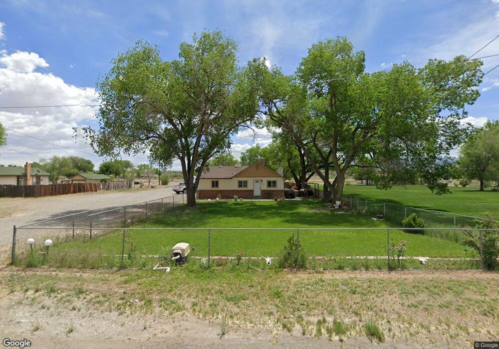
2971 D 1/2 Rd Grand Junction, CO 81504
Southeast Grand Junction NeighborhoodEstimated Value: $425,000 - $455,000
3
Beds
1
Bath
2,109
Sq Ft
$207/Sq Ft
Est. Value
About This Home
This home is located at 2971 D 1/2 Rd, Grand Junction, CO 81504 and is currently estimated at $436,215, approximately $206 per square foot. 2971 D 1/2 Rd is a home located in Mesa County with nearby schools including Pear Park Elementary School, Bookcliff Middle School, and East Middle School.
Ownership History
Date
Name
Owned For
Owner Type
Purchase Details
Closed on
Dec 12, 2024
Sold by
Chavez Doro and Chavez Jean F
Bought by
City Of Grand Junction
Current Estimated Value
Purchase Details
Closed on
Mar 29, 2021
Sold by
Hodges Diane Simon and Scott Hodges C
Bought by
Chavez Doro and Chavez Jean F
Home Financials for this Owner
Home Financials are based on the most recent Mortgage that was taken out on this home.
Original Mortgage
$305,000
Interest Rate
2.73%
Mortgage Type
VA
Purchase Details
Closed on
Aug 31, 2007
Sold by
Moore Alan D
Bought by
Hodges Diane Simon and Scott Hodges C
Create a Home Valuation Report for This Property
The Home Valuation Report is an in-depth analysis detailing your home's value as well as a comparison with similar homes in the area
Home Values in the Area
Average Home Value in this Area
Purchase History
| Date | Buyer | Sale Price | Title Company |
|---|---|---|---|
| City Of Grand Junction | -- | None Listed On Document | |
| Chavez Doro | $325,000 | Abstract & Title Co | |
| Hodges Diane Simon | $160,000 | None Available |
Source: Public Records
Mortgage History
| Date | Status | Borrower | Loan Amount |
|---|---|---|---|
| Previous Owner | Chavez Doro | $305,000 |
Source: Public Records
Tax History Compared to Growth
Tax History
| Year | Tax Paid | Tax Assessment Tax Assessment Total Assessment is a certain percentage of the fair market value that is determined by local assessors to be the total taxable value of land and additions on the property. | Land | Improvement |
|---|---|---|---|---|
| 2024 | $1,561 | $21,580 | $4,290 | $17,290 |
| 2023 | $1,561 | $21,580 | $4,290 | $17,290 |
| 2022 | $1,238 | $16,790 | $3,820 | $12,970 |
| 2021 | $1,185 | $16,950 | $3,930 | $13,020 |
| 2020 | $979 | $14,330 | $3,580 | $10,750 |
| 2019 | $891 | $14,330 | $3,580 | $10,750 |
| 2018 | $1,043 | $15,080 | $2,880 | $12,200 |
| 2017 | $1,040 | $15,080 | $2,880 | $12,200 |
| 2016 | $892 | $14,590 | $3,180 | $11,410 |
| 2015 | $899 | $14,590 | $3,180 | $11,410 |
| 2014 | $852 | $13,850 | $1,990 | $11,860 |
Source: Public Records
Map
Nearby Homes
- 2971 1/2 D 1 2 Rd
- 2979 D 1 2 Rd
- 432 Marianne Dr
- 442 Florence Rd
- 2969 Noah Ct
- 410 Marianne Dr
- 408 Marianne Dr
- 431 Colorow Dr
- 404 Chert Dr
- 2910 D Rd Unit 1 AC
- 2910 D Rd Unit 1 Acre
- 2910 D Rd Unit 3.2 AC
- 3014 Colorado Ct
- 397 Trenton Ct Unit A
- 396 Trenton Ct Unit B
- 395 Trenton Ct Unit A
- 2992 Debra St Unit A
- 2997 North Ave
- 2931 Paula Ln Unit 3
- 2931 Paula Ln Unit 4