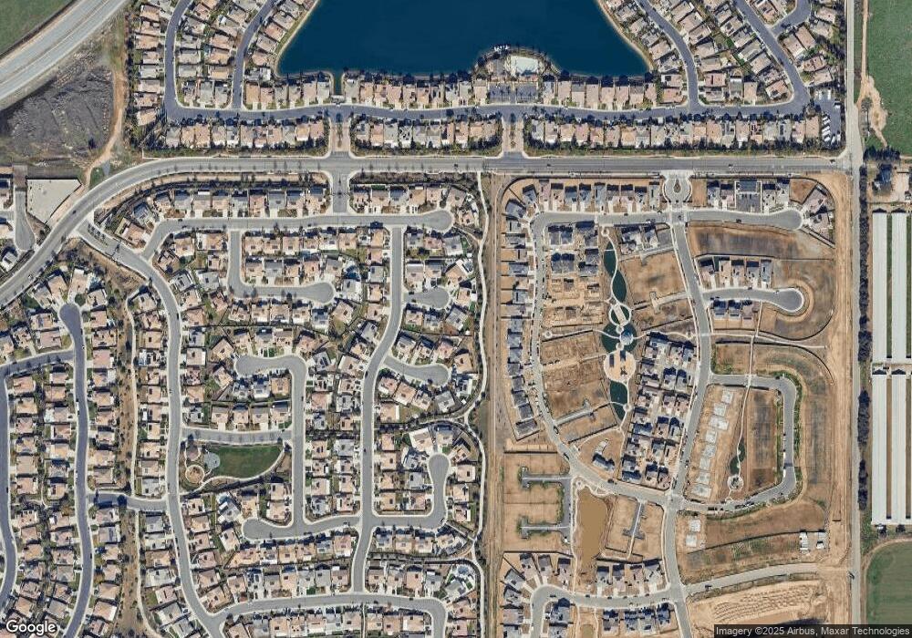
29717 Elmswood Cir Menifee, CA 92584
Menifee Lakes NeighborhoodEstimated Value: $611,000 - $689,000
3
Beds
2
Baths
2,090
Sq Ft
$309/Sq Ft
Est. Value
About This Home
This home is located at 29717 Elmswood Cir, Menifee, CA 92584 and is currently estimated at $644,844, approximately $308 per square foot. 29717 Elmswood Cir is a home with nearby schools including Southshore Elementary School, Bell Mountain Middle School, and Pinacate Middle School.
Ownership History
Date
Name
Owned For
Owner Type
Purchase Details
Closed on
Apr 3, 2020
Sold by
Mulholland David Joseph and Mulholland Mary C
Bought by
Mulholland Mary C and Mulholland David J
Current Estimated Value
Purchase Details
Closed on
May 5, 2016
Sold by
Lennar Homes Of California Inc
Bought by
Mulholland David Joseph and Mulholland Mary Catherine
Home Financials for this Owner
Home Financials are based on the most recent Mortgage that was taken out on this home.
Original Mortgage
$260,918
Outstanding Balance
$207,166
Interest Rate
3.58%
Mortgage Type
New Conventional
Estimated Equity
$437,678
Create a Home Valuation Report for This Property
The Home Valuation Report is an in-depth analysis detailing your home's value as well as a comparison with similar homes in the area
Home Values in the Area
Average Home Value in this Area
Purchase History
| Date | Buyer | Sale Price | Title Company |
|---|---|---|---|
| Mulholland Mary C | -- | None Available | |
| Mulholland David Joseph | $403,000 | North American Title Company |
Source: Public Records
Mortgage History
| Date | Status | Borrower | Loan Amount |
|---|---|---|---|
| Open | Mulholland David Joseph | $260,918 |
Source: Public Records
Tax History Compared to Growth
Tax History
| Year | Tax Paid | Tax Assessment Tax Assessment Total Assessment is a certain percentage of the fair market value that is determined by local assessors to be the total taxable value of land and additions on the property. | Land | Improvement |
|---|---|---|---|---|
| 2025 | $8,115 | $479,676 | $143,046 | $336,630 |
| 2023 | $8,115 | $461,052 | $137,493 | $323,559 |
| 2022 | $8,090 | $452,013 | $134,798 | $317,215 |
| 2021 | $8,082 | $443,151 | $132,155 | $310,996 |
| 2020 | $7,987 | $438,608 | $130,800 | $307,808 |
| 2019 | $7,877 | $430,009 | $128,236 | $301,773 |
| 2018 | $7,722 | $421,578 | $125,722 | $295,856 |
| 2017 | $7,595 | $410,861 | $123,257 | $287,604 |
| 2016 | $3,767 | $81,566 | $44,196 | $37,370 |
Source: Public Records
Map
Nearby Homes
- 30282 Waterline Dr
- 29864 Warm Sands Dr
- 29715 Cottonwood Cove Dr
- 29889 Warm Sands Dr
- 29796 Ballast Rd
- 29784 Ballast Rd
- 30355 Lamplighter Ln
- 29604 Starring Ln
- 29633 Patriot Ct
- 29650 Cliff Park Dr
- 29712 Courage Ct
- 29665 Courage Ct
- 29637 Fortitude Dr
- 29617 Fortitude Dr
- 29607 Fortitude Dr
- Pathmaker Plan at Banner Park - Merit
- Visionary Plan at Banner Park - Merit
- Parklane Plan at Banner Park - Heritage
- Brinnon Plan at Banner Park - Merit
- Rosemount Plan at Banner Park - Crest
- 29701 Elmswood Cir
- 29726 Elmswood Cir
- 29716 Falmer Ct
- 29685 Elmswood Cir
- 29728 Falmer Ct
- 29698 Falmer Ct
- 29714 Elmswood Cir
- 29702 Elmswood Cir
- 29684 Falmer Ct
- 29690 Elmswood Cir
- 30169 Adrift Ln
- 30163 Adrift Ln
- 30175 Adrift Ln
- 30157 Adrift Ln
- 29736 Falmer Ct
- 29715 Glenneyre Way
- 29699 Glenneyre Way
- 30095 Muirlands Dr
- 30187 Adrift Ln
- 30145 Adrift Ln
