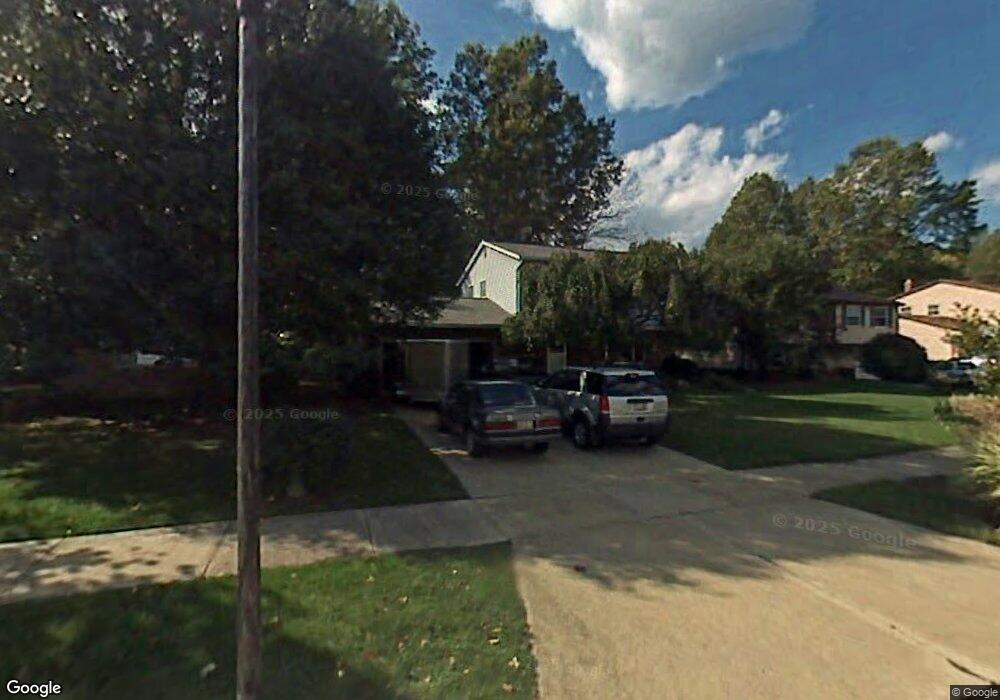
2974 Nantucket Dr Willoughby, OH 44094
Estimated Value: $284,000 - $310,000
3
Beds
2
Baths
1,008
Sq Ft
$296/Sq Ft
Est. Value
About This Home
This home is located at 2974 Nantucket Dr, Willoughby, OH 44094 and is currently estimated at $297,890, approximately $295 per square foot. 2974 Nantucket Dr is a home located in Lake County with nearby schools including Grant Elementary School, Willoughby Middle School, and South High School.
Ownership History
Date
Name
Owned For
Owner Type
Purchase Details
Closed on
Mar 21, 1995
Sold by
Scruggs Earl C
Bought by
Putnam Roger L and Putnam Roxanne C
Current Estimated Value
Home Financials for this Owner
Home Financials are based on the most recent Mortgage that was taken out on this home.
Original Mortgage
$128,250
Interest Rate
7.38%
Mortgage Type
New Conventional
Create a Home Valuation Report for This Property
The Home Valuation Report is an in-depth analysis detailing your home's value as well as a comparison with similar homes in the area
Home Values in the Area
Average Home Value in this Area
Purchase History
| Date | Buyer | Sale Price | Title Company |
|---|---|---|---|
| Putnam Roger L | $135,000 | -- |
Source: Public Records
Mortgage History
| Date | Status | Borrower | Loan Amount |
|---|---|---|---|
| Closed | Putnam Roger L | $128,250 |
Source: Public Records
Tax History Compared to Growth
Tax History
| Year | Tax Paid | Tax Assessment Tax Assessment Total Assessment is a certain percentage of the fair market value that is determined by local assessors to be the total taxable value of land and additions on the property. | Land | Improvement |
|---|---|---|---|---|
| 2024 | -- | $84,650 | $15,120 | $69,530 |
| 2023 | $6,587 | $69,570 | $12,080 | $57,490 |
| 2022 | $4,272 | $69,570 | $12,080 | $57,490 |
| 2021 | $4,291 | $69,570 | $12,080 | $57,490 |
| 2020 | $4,184 | $60,490 | $10,500 | $49,990 |
| 2019 | $4,384 | $60,490 | $10,500 | $49,990 |
| 2018 | $4,260 | $55,710 | $13,230 | $42,480 |
| 2017 | $4,308 | $55,710 | $13,230 | $42,480 |
| 2016 | $4,363 | $55,710 | $13,230 | $42,480 |
| 2015 | $3,623 | $55,710 | $13,230 | $42,480 |
| 2014 | $3,244 | $52,560 | $13,230 | $39,330 |
| 2013 | $3,246 | $52,560 | $13,230 | $39,330 |
Source: Public Records
Map
Nearby Homes
- 38220 Westminster Ln
- 2687 Westminster Ln
- 3000 Steve Guard Ct
- 38109 Poplar Dr
- 38396 Poplar Dr
- 38610 Wood Rd
- 2962 Flossy Ct
- 37584 Ocean Reef
- 0 Lost Nation Rd
- 564 Howell Ct
- 38754 Adkins Rd
- 553 Vesely Ct
- 35931 Woodland Dr
- 3680 Foothill Blvd
- 38125 Highgate Bluff Ln
- 518 Saint Lawrence Blvd
- VL Foothill Blvd
- 503 E Overlook Dr
- 36765 Garretts Cove Dr
- 447 Saint Lawrence Blvd
- 2984 Nantucket Dr
- 2966 Nantucket Dr
- 2992 Nantucket Dr
- 2958 Nantucket Dr
- 2993 Reeves Rd
- 3001 Reeves Rd
- 2985 Reeves Rd
- 3009 Reeves Rd
- 2998 Nantucket Dr
- 2950 Nantucket Dr
- 2975 Nantucket Dr
- 2965 Nantucket Dr
- 2953 Nantucket Dr
- 2985 Nantucket Dr
- 3017 Reeves Rd
- 2993 Nantucket Dr
- 3010 Nantucket Dr
- 2944 Nantucket Dr
- 2969 Reeves Rd
- 3025 Reeves Rd