2974 W Evans Rd Unit 1 San Diego, CA 92106
Liberty Station NeighborhoodEstimated Value: $1,729,820 - $1,835,000
3
Beds
3
Baths
2,297
Sq Ft
$781/Sq Ft
Est. Value
About This Home
This home is located at 2974 W Evans Rd Unit 1, San Diego, CA 92106 and is currently estimated at $1,794,205, approximately $781 per square foot. 2974 W Evans Rd Unit 1 is a home located in San Diego County with nearby schools including Loma Portal Elementary School, Richard Henry Dana Middle School, and Correia Middle School.
Ownership History
Date
Name
Owned For
Owner Type
Purchase Details
Closed on
Sep 5, 2012
Sold by
Cumar Bruno and Cumar Kimberly C
Bought by
Cumar Bruno and Cumar Kimberly Cheryl
Current Estimated Value
Purchase Details
Closed on
Sep 24, 2004
Sold by
Mcmillin Ntc 80 Llc
Bought by
Cumar Bruno and Cumar Kimberly C
Home Financials for this Owner
Home Financials are based on the most recent Mortgage that was taken out on this home.
Original Mortgage
$603,000
Outstanding Balance
$202,007
Interest Rate
1%
Mortgage Type
New Conventional
Estimated Equity
$1,592,198
Create a Home Valuation Report for This Property
The Home Valuation Report is an in-depth analysis detailing your home's value as well as a comparison with similar homes in the area
Home Values in the Area
Average Home Value in this Area
Purchase History
| Date | Buyer | Sale Price | Title Company |
|---|---|---|---|
| Cumar Bruno | -- | None Available | |
| Cumar Bruno | $803,000 | First American Title |
Source: Public Records
Mortgage History
| Date | Status | Borrower | Loan Amount |
|---|---|---|---|
| Open | Cumar Bruno | $603,000 |
Source: Public Records
Tax History Compared to Growth
Tax History
| Year | Tax Paid | Tax Assessment Tax Assessment Total Assessment is a certain percentage of the fair market value that is determined by local assessors to be the total taxable value of land and additions on the property. | Land | Improvement |
|---|---|---|---|---|
| 2025 | $15,636 | $1,119,142 | $669,059 | $450,083 |
| 2024 | $15,636 | $1,097,199 | $655,941 | $441,258 |
| 2023 | $15,356 | $1,075,686 | $643,080 | $432,606 |
| 2022 | $15,051 | $1,054,595 | $630,471 | $424,124 |
| 2021 | $14,907 | $1,033,917 | $618,109 | $415,808 |
| 2020 | $14,766 | $1,023,317 | $611,772 | $411,545 |
| 2019 | $14,472 | $1,003,253 | $599,777 | $403,476 |
| 2018 | $13,694 | $983,582 | $588,017 | $395,565 |
| 2017 | $13,427 | $964,297 | $576,488 | $387,809 |
| 2016 | $13,445 | $945,390 | $565,185 | $380,205 |
| 2015 | $12,322 | $850,000 | $507,000 | $343,000 |
| 2014 | $11,112 | $750,000 | $448,000 | $302,000 |
Source: Public Records
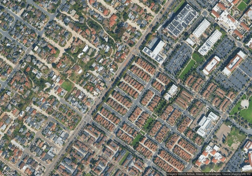
Map
Nearby Homes
- 2852 Laning Rd Unit 1
- 3028 Sterne St
- 3126 Russell St
- 2730 E Evans Rd Unit 9
- 2205 Locust St
- 2035 Evergreen St
- 2734 Laning Rd Unit 2
- 3145 Quimby St
- 1840 Locust St
- 3122 Newell St
- 3018-20 Nimitz Blvd
- 3046 Nimitz Blvd
- 3412 Poe St
- 3428 Quimby St
- 2409 Evergreen St
- 1674 Evergreen St
- 3111 Keats St Unit 1
- 3030 Jarvis St Unit 2
- 1561-65 Evergreen St
- 3614 Wawona Dr
- 2986 W Evans Rd Unit 1
- 2956 W Evans Rd Unit 1
- 2998 W Evans Rd Unit 1
- 2938 W Evans Rd
- 2975 W Porter Rd Unit 1
- 2920 W Evans Rd
- W Evans
- 2987 W Porter Rd Unit 1
- 2957 W Porter Rd
- 2999 W Porter Rd Unit 1
- 2939 W Porter Rd
- 2975 W Evans Rd
- 2987 W Evans Rd
- 2957 W Evans Rd
- 2902 W Evans Rd
- 2921 W Porter Rd
- 2999 W Evans Rd
- 2939 W Evans Rd
- 2921 W Evans Rd
- 2903 W Evans Rd