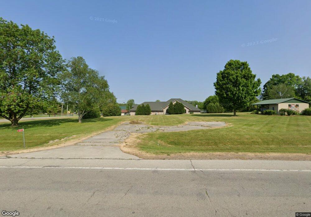
2975 Freedom Rd Oneida, WI 54155
Estimated Value: $203,000 - $256,037
Studio
--
Bath
--
Sq Ft
33,367
Sq Ft Lot
About This Home
This home is located at 2975 Freedom Rd, Oneida, WI 54155 and is currently estimated at $227,012. 2975 Freedom Rd is a home located in Brown County with nearby schools including Hemlock Creek Elementary School, West De Pere Middle School, and West De Pere High School.
Ownership History
Date
Name
Owned For
Owner Type
Purchase Details
Closed on
Sep 6, 2011
Sold by
Villalobos Geraldine J
Bought by
Oneida Tribe Of Indians Of Wisconsin
Current Estimated Value
Purchase Details
Closed on
Jul 26, 2005
Sold by
Doxtator Kevin H and Doxtator Jeannie M
Bought by
Silas Dewey R and Silas Marlene A
Home Financials for this Owner
Home Financials are based on the most recent Mortgage that was taken out on this home.
Original Mortgage
$85,000
Outstanding Balance
$43,346
Interest Rate
5.8%
Mortgage Type
Fannie Mae Freddie Mac
Estimated Equity
$183,666
Create a Home Valuation Report for This Property
The Home Valuation Report is an in-depth analysis detailing your home's value as well as a comparison with similar homes in the area
Home Values in the Area
Average Home Value in this Area
Purchase History
| Date | Buyer | Sale Price | Title Company |
|---|---|---|---|
| Oneida Tribe Of Indians Of Wisconsin | -- | Evans Title | |
| Silas Dewey R | $115,000 | Evans Title |
Source: Public Records
Mortgage History
| Date | Status | Borrower | Loan Amount |
|---|---|---|---|
| Open | Silas Dewey R | $85,000 |
Source: Public Records
Tax History
| Year | Tax Paid | Tax Assessment Tax Assessment Total Assessment is a certain percentage of the fair market value that is determined by local assessors to be the total taxable value of land and additions on the property. | Land | Improvement |
|---|---|---|---|---|
| 2025 | $626 | $36,000 | $36,000 | -- |
| 2024 | $649 | $36,000 | $36,000 | -- |
| 2023 | $622 | $36,000 | $36,000 | $0 |
| 2022 | $629 | $36,000 | $36,000 | $0 |
| 2021 | $634 | $36,000 | $36,000 | $0 |
| 2020 | $662 | $30,000 | $30,000 | $0 |
| 2019 | $646 | $30,000 | $30,000 | $0 |
| 2018 | $635 | $30,000 | $30,000 | $0 |
| 2017 | $627 | $30,000 | $30,000 | $0 |
| 2016 | $641 | $30,000 | $30,000 | $0 |
| 2015 | $648 | $30,000 | $30,000 | $0 |
| 2014 | $2,158 | $30,000 | $30,000 | $0 |
| 2013 | $2,158 | $30,000 | $30,000 | $0 |
Source: Public Records
Map
Nearby Homes
- 0 Riverdale Dr Unit 50320936
- 3776 N Overland Rd
- 598 Cross Country Ct
- 500 Cross Country Ct
- 3820 National St
- 1940 Renaissance Ct
- 3096 S Sandstone Ct
- 4141 Blackberry Ridge Ct
- 1935 W Telemark Cir
- 692 Blackberry Ct
- 2920 Parkwood Dr
- 4131 Blackberry Ridge Ct
- 1000 Rolling Green Dr
- 772 Brookwood Cir
- 1064 Coronado Ct
- 1935 E Telemark Cir
- N6515 Laurmar Ln
- 1630 Ravine Dr
- 910 Kings Point Ct
- 1336 S Sedona Cir
- 2997 Freedom Rd
- 4204 W Mason St
- 4187 W Mason St
- 3038 Freedom Rd
- 4100 W Mason St Unit BLOCK
- 4184 W Mason St
- 4180 W Mason St
- 4174 W Mason St
- 4170 W Mason St
- 4164 W Mason St
- 4176 W Mason St
- 445 Airport Dr
- 3070 W Mason St
- 219 Valley Dr
- 213 Valley Dr
- 3000 W Service Rd Unit BLOCK
- 3110 W Service Rd
- 492 Airport Dr
- 3087 W Service Rd
- 3093 W Service Rd
Your Personal Tour Guide
Ask me questions while you tour the home.