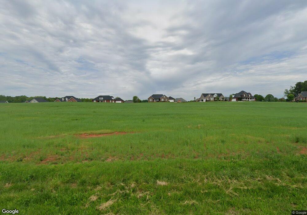
2975 Tavistock Ln Lincolnton, NC 28092
Estimated Value: $760,000 - $840,775
3
Beds
4
Baths
3,551
Sq Ft
$227/Sq Ft
Est. Value
About This Home
This home is located at 2975 Tavistock Ln, Lincolnton, NC 28092 and is currently estimated at $805,194, approximately $226 per square foot. 2975 Tavistock Ln is a home with nearby schools including Pumpkin Center Primary, Pumpkin Center Intermediate, and North Lincoln Middle School.
Ownership History
Date
Name
Owned For
Owner Type
Purchase Details
Closed on
Dec 20, 2023
Sold by
Black Finger Brittany
Bought by
Brittany Black Finger Living Trust and Finger
Current Estimated Value
Purchase Details
Closed on
Aug 25, 2023
Sold by
Caldwell Max A and Caldwell Lisa B
Bought by
Finger Brittany Black and Plemmons Shannon Renee
Home Financials for this Owner
Home Financials are based on the most recent Mortgage that was taken out on this home.
Original Mortgage
$692,000
Interest Rate
6.96%
Mortgage Type
Seller Take Back
Purchase Details
Closed on
Mar 20, 2023
Sold by
Caldwell Max A and Caldwell Dorothy K
Bought by
Caldwell Max A and Caldwell Lisa B
Home Financials for this Owner
Home Financials are based on the most recent Mortgage that was taken out on this home.
Original Mortgage
$550,000
Interest Rate
6.09%
Mortgage Type
Seller Take Back
Create a Home Valuation Report for This Property
The Home Valuation Report is an in-depth analysis detailing your home's value as well as a comparison with similar homes in the area
Home Values in the Area
Average Home Value in this Area
Purchase History
| Date | Buyer | Sale Price | Title Company |
|---|---|---|---|
| Brittany Black Finger Living Trust | -- | None Listed On Document | |
| Finger Brittany Black | $780,000 | None Listed On Document | |
| Caldwell Max A | -- | None Listed On Document |
Source: Public Records
Mortgage History
| Date | Status | Borrower | Loan Amount |
|---|---|---|---|
| Previous Owner | Finger Brittany Black | $692,000 | |
| Previous Owner | Caldwell Max A | $550,000 |
Source: Public Records
Tax History Compared to Growth
Tax History
| Year | Tax Paid | Tax Assessment Tax Assessment Total Assessment is a certain percentage of the fair market value that is determined by local assessors to be the total taxable value of land and additions on the property. | Land | Improvement |
|---|---|---|---|---|
| 2025 | $4,868 | $757,706 | $40,000 | $717,706 |
| 2024 | $4,651 | $726,078 | $40,000 | $686,078 |
| 2023 | $187 | $30,000 | $30,000 | $0 |
| 2022 | $1 | $25,000 | $25,000 | $0 |
| 2021 | $1 | $25,000 | $25,000 | $0 |
| 2020 | $1 | $25,000 | $25,000 | $0 |
| 2019 | $1 | $25,000 | $25,000 | $0 |
| 2018 | $1 | $25,000 | $25,000 | $0 |
| 2017 | $1 | $25,000 | $25,000 | $0 |
| 2016 | $1 | $0 | $0 | $0 |
| 2015 | $1 | $25,000 | $25,000 | $0 |
| 2014 | $183 | $26,500 | $26,500 | $0 |
Source: Public Records
Map
Nearby Homes
- 2914 Weatherfield Dr
- 2911 Weatherfield Dr
- 1448 Weatherwood Dr
- 4465 Brancer Ln
- 1471 Arden Dr
- 1335 Huckleberry Dr
- 2206 Carpenter Farms Dr
- 2202 Carpenter Farms Dr
- 370 Sherrill Farm Rd
- 000 Curveview Rd
- 1195 Ralph B Keener Rd
- 2515 Myra Ln
- 2384 Abby Ave
- 741 Sunridge Dr
- 1681 Woolie Rd
- 2984 N Carolina 27
- 1670 Buck Oak Rd
- 341 Camp Creek Rd
- 4059 Stoney Creek Dr
- 3164 Andrew Link Rd
- 2967 Tavistock Ln
- 2983 Tavistock Ln
- 2970 Mehling Dr
- 2959 Tavistock Ln
- 1531 Laudun Dr
- 2952 Mehling Dr
- 2976 Mehling Dr
- 2942 Mehling Dr
- 1542 Laudun Dr
- 2936 Mehling Dr
- 2971 Mehling Dr
- 2951 Mehling Dr
- 2981 Mehling Dr
- 1550 Laudun Dr Unit 101
- 1550 Laudun Dr
- 2943 Mehling Dr Unit 6
- 2928 Mehling Dr
- 2989 Mehling Dr
- 2935 Mehling Dr Unit 7
- 1570 Laudun Dr