Estimated Value: $37,000
--
Bed
1
Bath
--
Sq Ft
2.2
Acres
About This Home
This home is located at 2976 Lucas Perrysville Rd, Lucas, OH 44843 and is currently priced at $37,000. 2976 Lucas Perrysville Rd is a home located in Richland County with nearby schools including Lucas Elementary School, Lucas Heritage Middle School, and Lucas High School.
Ownership History
Date
Name
Owned For
Owner Type
Purchase Details
Closed on
Aug 19, 2005
Sold by
Phillips Dale W and Phillips Roxan L
Bought by
Phillips Dale W and Phillips Roxan L
Current Estimated Value
Purchase Details
Closed on
Aug 13, 2003
Sold by
Kurtz Robert J and Kurtz John
Bought by
Phillips Dale W and Phillips Roxan L
Purchase Details
Closed on
May 23, 2003
Sold by
Kurtz John and Kurtz Becky
Bought by
Heinberger Judy D
Home Financials for this Owner
Home Financials are based on the most recent Mortgage that was taken out on this home.
Original Mortgage
$121,700
Outstanding Balance
$65,919
Interest Rate
5.9%
Mortgage Type
Purchase Money Mortgage
Create a Home Valuation Report for This Property
The Home Valuation Report is an in-depth analysis detailing your home's value as well as a comparison with similar homes in the area
Home Values in the Area
Average Home Value in this Area
Purchase History
| Date | Buyer | Sale Price | Title Company |
|---|---|---|---|
| Phillips Dale W | -- | None Available | |
| Phillips Dale W | $80,000 | Chicago Title | |
| Heinberger Judy D | $20,000 | Ltic |
Source: Public Records
Mortgage History
| Date | Status | Borrower | Loan Amount |
|---|---|---|---|
| Open | Heinberger Judy D | $121,700 |
Source: Public Records
Tax History Compared to Growth
Tax History
| Year | Tax Paid | Tax Assessment Tax Assessment Total Assessment is a certain percentage of the fair market value that is determined by local assessors to be the total taxable value of land and additions on the property. | Land | Improvement |
|---|---|---|---|---|
| 2024 | $74 | $5,010 | $5,010 | $0 |
| 2023 | $74 | $5,010 | $5,010 | $0 |
| 2022 | $37 | $3,280 | $3,280 | $0 |
| 2021 | $37 | $3,280 | $3,280 | $0 |
| 2020 | $38 | $3,280 | $3,280 | $0 |
| 2019 | $75 | $2,780 | $2,780 | $0 |
| 2018 | $77 | $2,780 | $2,780 | $0 |
| 2017 | $78 | $2,780 | $2,780 | $0 |
| 2016 | $91 | $1,700 | $1,700 | $0 |
| 2015 | $91 | $1,700 | $1,700 | $0 |
| 2014 | $91 | $1,700 | $1,700 | $0 |
| 2012 | $45 | $1,700 | $1,700 | $0 |
Source: Public Records
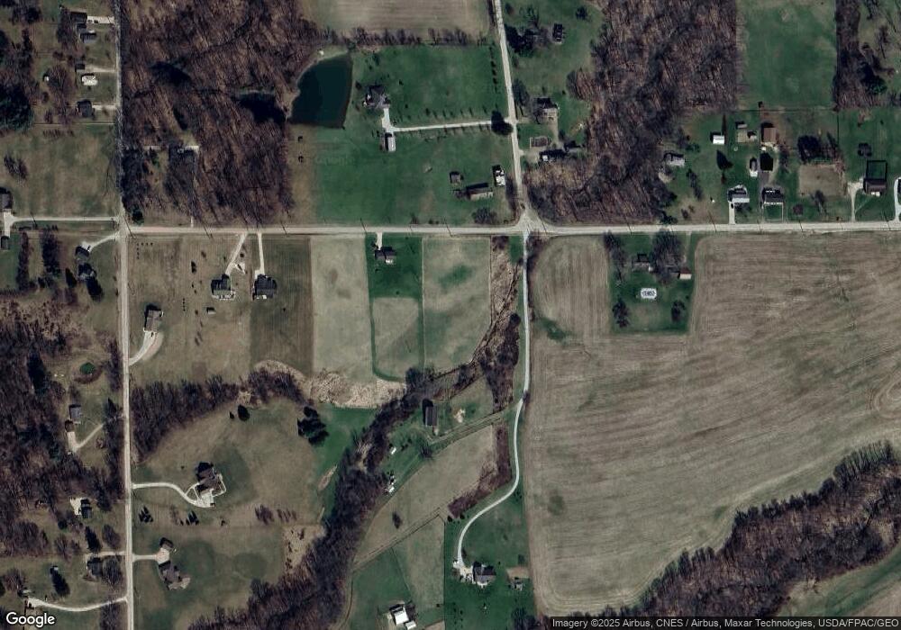
Map
Nearby Homes
- 0 Moffett Rd
- 174 W Main St
- 2905 Tucker Rd
- 3261 Moffett Rd
- 2221 Pleasant Valley Rd
- 0 Tucker Rd
- 0 Applegate Rd
- 1679 Pulver Rd
- 2428 Applegate Rd
- 0 Mount Zion Rd Unit 9069748
- 1307 Sweetbriar Dr
- 1135 E Hanley Rd
- 2061 Washington North Rd
- 0 Garver Rd Washington Rd S Unit 20253648
- 1875 Mansfield Lucas Rd
- 0 Garver Washington Rd S
- 0 State Route 39 & I-71 Northeast Quadrant
- 0 State Route 39 & I-71 Southeast Quadrant
- 3386 Trumpower Rd
- 929 Antionette Dr
- 2752 Dickes Rd
- 0 Dickes Rd
- 2700 Dickes Rd
- 3018 Lucas Perrysville Rd
- 2928 Lucas Perrysville Rd
- 2672 Dickes Rd
- 2980 Lucas Perrysville Rd
- 3021 Lucas Perrysville Rd
- 2913 Lucas Perrysville Rd
- 2379 Moffett Rd
- 2265 Moffett Rd
- 3045 Lucas Perrysville Rd
- 2943 Lucas Perrysville Rd
- 3053 Lucas Perrysville Rd
- 2294 Moffett Rd
- 2387 Moffett Rd
- 2865 Lucas Perrysville Rd
- 2354 Moffett Rd
- 2271 Moffett Rd
- 2382 Moffett Rd