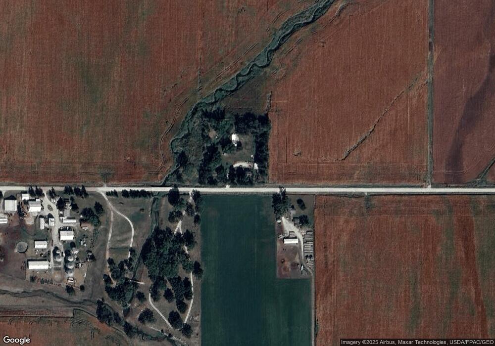
29771 270th St Shell Rock, IA 50670
Estimated Value: $201,539 - $233,000
3
Beds
2
Baths
1,691
Sq Ft
$129/Sq Ft
Est. Value
About This Home
This home is located at 29771 270th St, Shell Rock, IA 50670 and is currently estimated at $218,180, approximately $129 per square foot. 29771 270th St is a home located in Butler County with nearby schools including New Hartford Elementary School, Dike Elementary School, and Dike-New Hartford Junior High School.
Ownership History
Date
Name
Owned For
Owner Type
Purchase Details
Closed on
Jan 2, 2025
Sold by
Rewerts David J
Bought by
Thomas Sarah M
Current Estimated Value
Purchase Details
Closed on
Apr 27, 2021
Sold by
Rewerts Timothy D
Bought by
Thomas Sarah M
Home Financials for this Owner
Home Financials are based on the most recent Mortgage that was taken out on this home.
Original Mortgage
$146,464
Interest Rate
3.1%
Mortgage Type
New Conventional
Purchase Details
Closed on
Apr 22, 2021
Sold by
Rewerts Timothy D
Bought by
Thomas Sarah M
Home Financials for this Owner
Home Financials are based on the most recent Mortgage that was taken out on this home.
Original Mortgage
$146,464
Interest Rate
3.1%
Mortgage Type
New Conventional
Create a Home Valuation Report for This Property
The Home Valuation Report is an in-depth analysis detailing your home's value as well as a comparison with similar homes in the area
Purchase History
| Date | Buyer | Sale Price | Title Company |
|---|---|---|---|
| Thomas Sarah M | -- | None Listed On Document | |
| Thomas Sarah M | $145,000 | None Available | |
| Thomas Sarah M | $145,000 | None Listed On Document |
Source: Public Records
Mortgage History
| Date | Status | Borrower | Loan Amount |
|---|---|---|---|
| Previous Owner | Thomas Sarah M | $146,464 | |
| Previous Owner | Thomas Sarah M | $146,464 |
Source: Public Records
Tax History
| Year | Tax Paid | Tax Assessment Tax Assessment Total Assessment is a certain percentage of the fair market value that is determined by local assessors to be the total taxable value of land and additions on the property. | Land | Improvement |
|---|---|---|---|---|
| 2025 | $1,856 | $186,680 | $56,880 | $129,800 |
| 2024 | $1,856 | $159,450 | $37,390 | $122,060 |
| 2023 | $1,830 | $159,450 | $37,390 | $122,060 |
| 2022 | $1,760 | $145,470 | $37,390 | $108,080 |
| 2021 | $1,712 | $145,470 | $37,390 | $108,080 |
| 2020 | $1,712 | $132,700 | $37,390 | $95,310 |
| 2019 | $1,598 | $124,780 | $0 | $0 |
| 2018 | $1,580 | $124,780 | $0 | $0 |
| 2017 | $1,580 | $125,970 | $0 | $0 |
| 2016 | $1,762 | $125,970 | $0 | $0 |
| 2015 | $1,762 | $125,970 | $0 | $0 |
| 2014 | $1,816 | $128,470 | $0 | $0 |
Source: Public Records
Map
Nearby Homes
- 21164 Woodridge Ln
- 21250 Woodridge Ln
- 21146 Woodridge Ln
- 21161 Woodridge Ln
- 21273 Woodridge Ln
- 1130 Lozmar Ln
- 1131 Lozmar Ln
- 1124 Lozmar Ln
- 1125 Lozmar Ln
- 220 Elliot Ave
- 214 Elliot Ave
- 327 E Mindy Dr
- 31521 Union Ave
- 31195 Willow Ave
- 31681 Spring Ave
- 506 N Kelly St
- 8030 Washington St
- 10241 Winslow Rd
- 31093 Beaver Valley St
- Building site Tanner Rd
Your Personal Tour Guide
Ask me questions while you tour the home.