298 455th Ave Grinnell, IA 50112
Estimated Value: $136,000 - $206,000
3
Beds
2
Baths
1,093
Sq Ft
$147/Sq Ft
Est. Value
About This Home
This home is located at 298 455th Ave, Grinnell, IA 50112 and is currently estimated at $160,770, approximately $147 per square foot. 298 455th Ave is a home with nearby schools including Grinnell Community Senior High School.
Ownership History
Date
Name
Owned For
Owner Type
Purchase Details
Closed on
Jan 11, 2012
Sold by
Stoner Michael W and Stoner Suzzie M
Bought by
The Bank Of New York Mellon and The Bank Of New York
Current Estimated Value
Purchase Details
Closed on
Sep 14, 2005
Sold by
Havel Jeff J
Bought by
Stoner Suzzle M and Stoner Michael W
Home Financials for this Owner
Home Financials are based on the most recent Mortgage that was taken out on this home.
Original Mortgage
$21,000
Interest Rate
5.93%
Mortgage Type
Stand Alone Second
Create a Home Valuation Report for This Property
The Home Valuation Report is an in-depth analysis detailing your home's value as well as a comparison with similar homes in the area
Home Values in the Area
Average Home Value in this Area
Purchase History
| Date | Buyer | Sale Price | Title Company |
|---|---|---|---|
| The Bank Of New York Mellon | $47,476 | None Available | |
| Stoner Suzzle M | $104,500 | None Available |
Source: Public Records
Mortgage History
| Date | Status | Borrower | Loan Amount |
|---|---|---|---|
| Previous Owner | Stoner Suzzle M | $21,000 | |
| Previous Owner | Stoner Suzzle M | $84,000 |
Source: Public Records
Tax History Compared to Growth
Tax History
| Year | Tax Paid | Tax Assessment Tax Assessment Total Assessment is a certain percentage of the fair market value that is determined by local assessors to be the total taxable value of land and additions on the property. | Land | Improvement |
|---|---|---|---|---|
| 2024 | $1,364 | $120,330 | $70,250 | $50,080 |
| 2023 | $1,314 | $120,330 | $70,250 | $50,080 |
| 2022 | $1,302 | $99,030 | $56,220 | $42,810 |
| 2021 | $1,302 | $93,430 | $53,040 | $40,390 |
| 2020 | $1,176 | $84,590 | $44,200 | $40,390 |
| 2019 | $1,277 | $84,590 | $44,200 | $40,390 |
| 2018 | $976 | $71,230 | $34,000 | $37,230 |
| 2017 | $890 | $71,230 | $34,000 | $37,230 |
| 2016 | $1,016 | $71,230 | $34,000 | $37,230 |
| 2015 | -- | $71,230 | $34,000 | $37,230 |
| 2014 | -- | $66,680 | $25,250 | $41,430 |
Source: Public Records
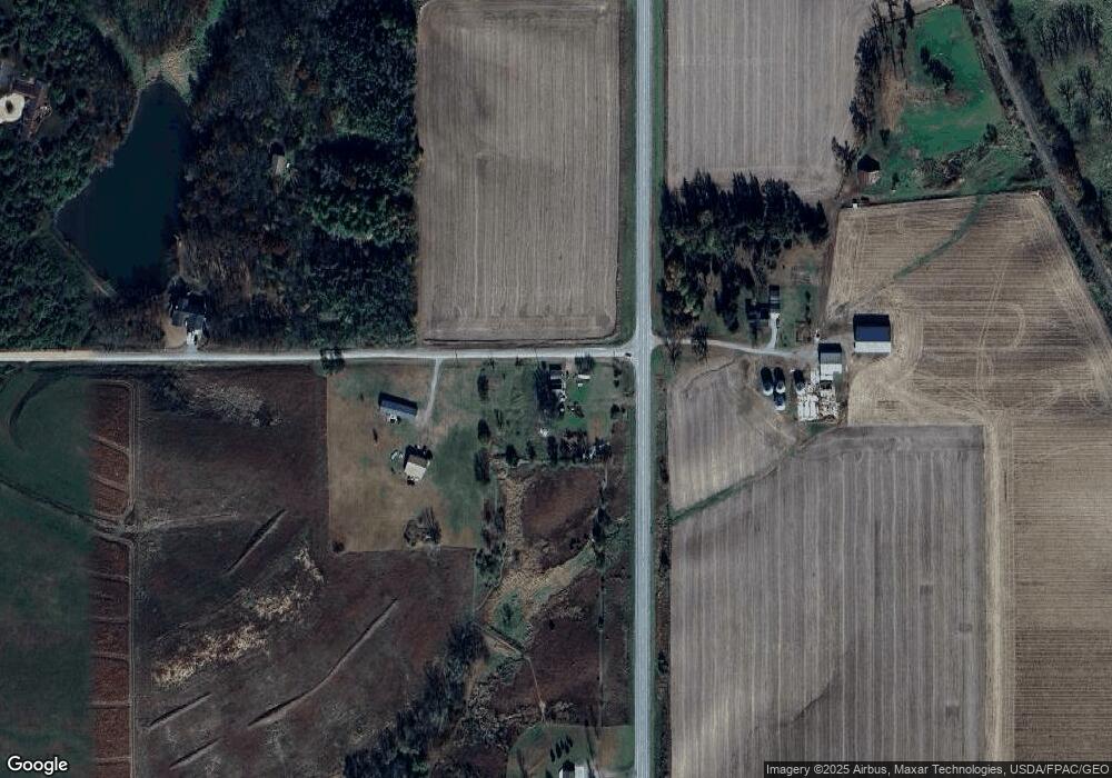
Map
Nearby Homes
- 4476 32nd St
- 5029 E 156th St S
- 0 32nd St
- 304 3rd St
- 410 Lang Creek Ave
- 500 Lang Creek Ave
- 503 Lang Creek Ave
- 505 Lang Creek Ave
- 101 Hill St
- 606 Stagecoach Rd
- 100 South St
- 113 1st St
- 408 West St
- 309 Hillside Dr
- 518 Industrial Ave
- 4093 70th St
- 105 Broad St
- 1764 Highway T38 N Unit N-80
- 616 Harrison Ave
- 300 Park St