298 John Brownlow Rd Pulaski, TN 38478
Estimated Value: $285,661 - $436,000
--
Bed
2
Baths
2,204
Sq Ft
$163/Sq Ft
Est. Value
About This Home
This home is located at 298 John Brownlow Rd, Pulaski, TN 38478 and is currently estimated at $358,915, approximately $162 per square foot. 298 John Brownlow Rd is a home located in Giles County with nearby schools including Pulaski Elementary School, Southside Elementary School, and Bridgeforth Middle School.
Ownership History
Date
Name
Owned For
Owner Type
Purchase Details
Closed on
Jan 9, 2018
Sold by
Jones Michael C
Bought by
Jones Landon H
Current Estimated Value
Home Financials for this Owner
Home Financials are based on the most recent Mortgage that was taken out on this home.
Original Mortgage
$120,000
Outstanding Balance
$66,806
Interest Rate
3.94%
Mortgage Type
New Conventional
Estimated Equity
$292,109
Purchase Details
Closed on
Feb 18, 1986
Bought by
Smith Terry
Create a Home Valuation Report for This Property
The Home Valuation Report is an in-depth analysis detailing your home's value as well as a comparison with similar homes in the area
Home Values in the Area
Average Home Value in this Area
Purchase History
| Date | Buyer | Sale Price | Title Company |
|---|---|---|---|
| Jones Landon H | -- | Title And Escrow Llc | |
| Smith Terry | -- | -- |
Source: Public Records
Mortgage History
| Date | Status | Borrower | Loan Amount |
|---|---|---|---|
| Open | Jones Landon H | $120,000 |
Source: Public Records
Tax History Compared to Growth
Tax History
| Year | Tax Paid | Tax Assessment Tax Assessment Total Assessment is a certain percentage of the fair market value that is determined by local assessors to be the total taxable value of land and additions on the property. | Land | Improvement |
|---|---|---|---|---|
| 2025 | $1,397 | $70,350 | $0 | $0 |
| 2024 | $1,397 | $70,350 | $11,450 | $58,900 |
| 2023 | $1,397 | $59,325 | $11,450 | $47,875 |
| 2022 | $1,178 | $59,325 | $11,450 | $47,875 |
| 2021 | $1,177 | $41,675 | $5,225 | $36,450 |
| 2020 | $900 | $31,875 | $5,225 | $26,650 |
| 2019 | $900 | $31,875 | $5,225 | $26,650 |
| 2018 | $900 | $31,875 | $5,225 | $26,650 |
| 2017 | $900 | $31,875 | $5,225 | $26,650 |
| 2016 | $934 | $31,450 | $5,375 | $26,075 |
| 2015 | $872 | $31,450 | $5,375 | $26,075 |
| 2014 | $872 | $31,456 | $0 | $0 |
Source: Public Records
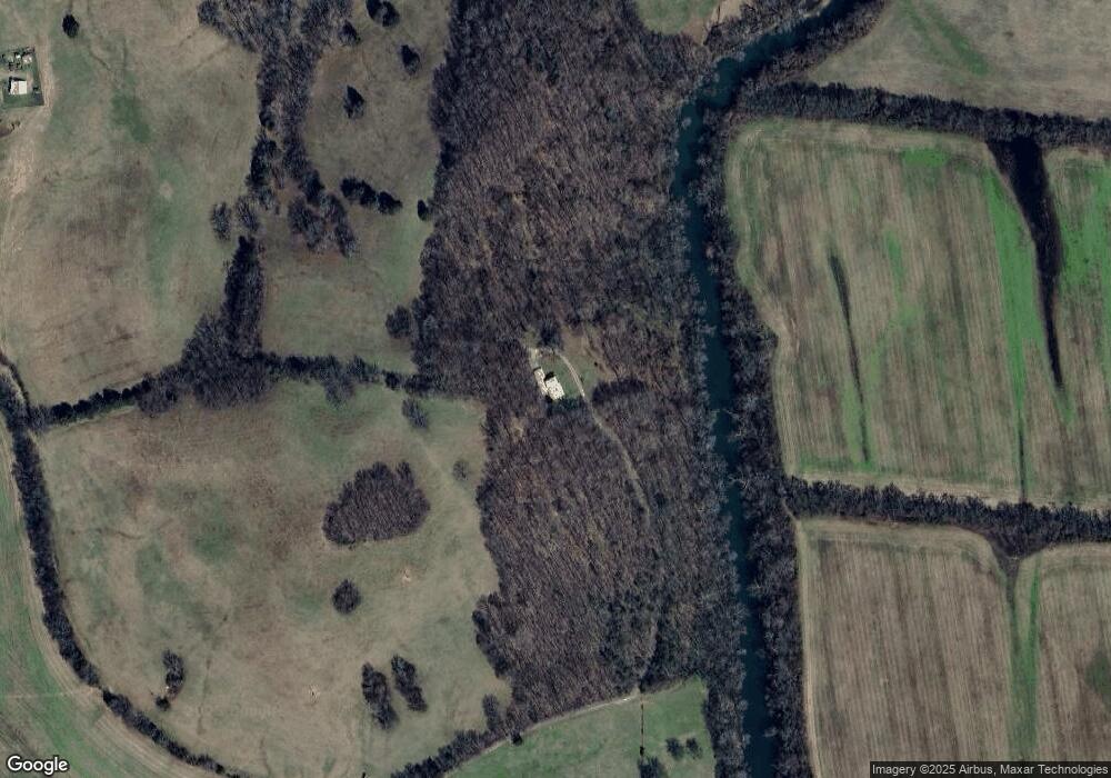
Map
Nearby Homes
- 208 John Brownlow Rd
- 1993 Crooked Hill Rd
- 5 Crooked Hill Rd
- 9 Crooked Hill Rd
- 8 Crooked Hill Rd
- 7 Crooked Hill Rd
- 6 Crooked Hill Rd
- 4 Crooked Hill Rd
- 3 Crooked Hill Rd
- 2 Crooked Hill Rd
- 1 Crooked Hill Rd
- 207 Sugar Tree Ln
- 107 Sugar Tree Rd
- 3185 Prospect Rd
- 280 Ross Rd
- 1 Sugar Tree Rd
- 1081 Donahue Rd
- 2200 Crescentview Rd
- 2250 Elkton Pike
- 221 Fry Ln